
Harvest Close Collection
"Harvest Close: Exploring the Bountiful Countryside of Sunderland, Bassetlaw, Nottingham, Winchester and Beyond


All Professionally Made to Order for Quick Shipping
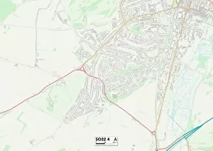
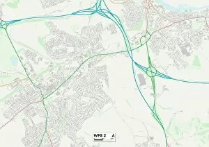
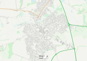
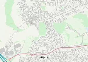
"Harvest Close: Exploring the Bountiful Countryside of Sunderland, Bassetlaw, Nottingham, Winchester and Beyond. " As autumn paints the landscapes with vibrant hues, it's time to embrace the spirit in some of England's most picturesque regions. Sunderlands SR3 2 Map beckons with its rolling fields and charming villages, while Bassetlaw S81 0 Map offers a tranquil escape amidst its idyllic countryside. Nottingham NG5 9 Map invites you to discover hidden gems tucked away in its lush greenery. Venture further south to Winchester SO22 4 Map where golden fields stretch as far as the eye can see. Wakefield WF8 2 Map promises a harvest experience like no other with its thriving farms and warm community spirit. In York YO32 5 Map, immerse yourself in traditional harvest festivities that celebrate nature's abundance. Journey back to Bassetlaw S81 9 Map for a taste of rural charm and witness farmers reaping what they've sown. Barnsley S70 5 Map showcases an enchanting blend of rustic beauty and agricultural heritage that will leave you captivated. Rotherham S66 8Map boasts stunning vistas dotted with bales of hay ready for collection. Mid Sussex RH16 2Map invites you on a scenic drive through winding country roads lined with trees adorned in their autumnal glory. Telford and Wrekin TF10 7Map offer a delightful mix of rolling hillsides and quaint villages where locals gather to celebrate this fruitful season. Finally, Berkshire RG31 4Map welcomes visitors into its heartwarming communities where farm-to-table experiences are cherished traditions during Harvest Close. So grab your map and embark on an unforgettable journey through these captivating destinations – each one offering unique glimpses into the rich tapestry of English countryside life during Harvest Close.