
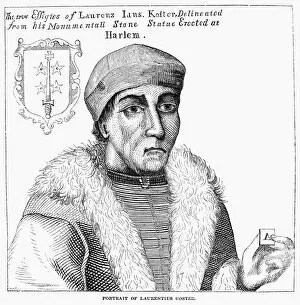
Janszoon Collection
"Janszoon: A Journey Through Time and Space" Step into the world of Janszoon, a name that resonates with exploration and cartography


All Professionally Made to Order for Quick Shipping
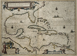
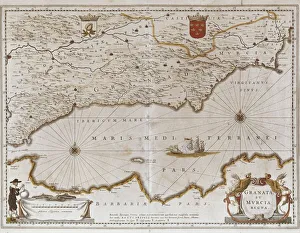
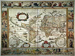
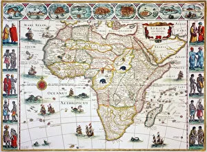
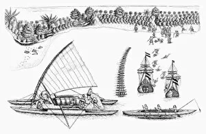
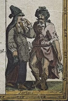
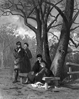
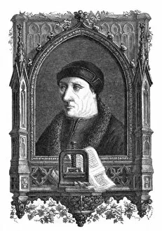
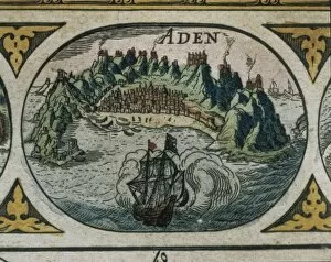
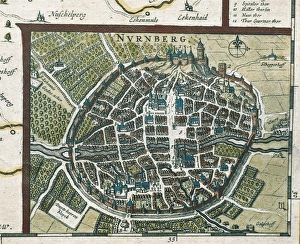
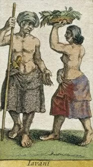
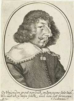
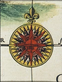
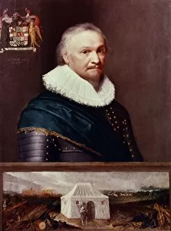
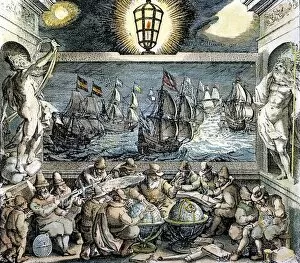
"Janszoon: A Journey Through Time and Space" Step into the world of Janszoon, a name that resonates with exploration and cartography. Willem Janszoon Blaeu, a renowned Dutch mapmaker from the 17th century, invites us to embark on a visual voyage through his intricate creations. One such masterpiece is his World Map of 1635, adorned with two polar insets. This remarkable piece showcases Blaeu's meticulous attention to detail as he captures the vastness of our planet. As we gaze upon it, we are reminded of the awe-inspiring diversity that exists across continents and oceans. Moving closer to specific regions, we encounter Granada and Murcia in Spain through Blaeu's captivating depiction. The Map of Africa Newly Described reveals an ornamental tapestry showcasing this vibrant continent's rich history and geography. But exploration doesn't stop there; Abel Janszoon Tasman takes center stage as a Dutch navigator who fearlessly ventured into uncharted territories. His ships sail alongside Polynesian outrigger canoes near Fiji Islands in one drawing from his exploring expedition. Tasman's spirit embodies the relentless pursuit for discovery that defined this era. Asia unfolds before our eyes through an engraved map published by Willem Blaeu around 1618. Its intricate details allow us to trace ancient trade routes while marveling at the diverse cultures inhabiting this vast continent. The influence of great minds like Tycho Brahe cannot be overlooked either. This Danish astronomer left an indelible mark on celestial studies during his time - a testament to human curiosity reaching for the stars. As we delve deeper into Blaeu's Atlas Novus, Mexico emerges as another focal point on our journey. The intricately crafted map transports us back in time when civilizations flourished amidst its diverse landscapes.