Fraud Blocker Skip to main content

Map Collection (page 100)

"Journey through Time and Space: Exploring the World of Maps" Maps have been an essential tool for centuries

Background imageMap Collection: The Isle of Wight, 1844. Creator: Unknown
The Isle of Wight, 1844. Creator: Unknown
The Isle of Wight, 1844. Map of the Isle of Wight, off the south coast of England, made using Mr. Palmers patent Giyphographic process, or Engraved Drawing

Background imageMap Collection: Map of North America, showing the... positions of Texas and Oregon with the United States

Map of North America, showing the... positions of Texas and Oregon with the United States
Map of North America, showing the relative positions of Texas and Oregon with the United States, 1845. It may...be requisite to subjoin here a few leading details of the Oregon Territory

Background imageMap Collection: Panorama of the Rhine, 1845. Creator: Unknown

Panorama of the Rhine, 1845. Creator: Unknown
Panorama of the Rhine, 1845. Panoramic representation of the main beauties of this majestic river, the artistical coup d oeil extending from the ancient city of Cologne to the Stolzenfels

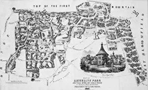
Background imageMap Collection: Map of Llewellyn Park and Villa Sites, on Eagle Ridge in Orange & West Bloomfield

Map of Llewellyn Park and Villa Sites, on Eagle Ridge in Orange & West Bloomfield, 1857

Background imageMap Collection: Map of New Mexico 1885

Map of New Mexico 1885
Map of New Mexico

Background imageMap Collection: Antique map of Gulf of Naples

Antique map of Gulf of Naples

Background imageMap Collection: An East Prospect of the City of Philadelphia... ca. 1768. Creator: George Heap

An East Prospect of the City of Philadelphia... ca. 1768. Creator: George Heap
An East Prospect of the City of Philadelphia; taken by George Heap from the Jersey shore, under the direction of Nicholas Scull surveyor general of the Province of Pennsylvania, ca. 1768

Background imageMap Collection: The City of New York: Longworths Explanatory Map and Plan, 1817

The City of New York: Longworths Explanatory Map and Plan, 1817

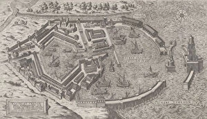
Background imageMap Collection: Speculum Romanae Magnificentiae: Port of Rome, 1581. 1581

Speculum Romanae Magnificentiae: Port of Rome, 1581. 1581
Speculum Romanae Magnificentiae: Port of Rome, 1581

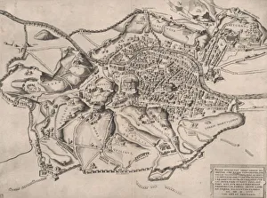
Background imageMap Collection: Speculum Romanae Magnificentiae: Ancient Rome, and its Hills, from the West, 1582. 1582

Speculum Romanae Magnificentiae: Ancient Rome, and its Hills, from the West, 1582. 1582
Speculum Romanae Magnificentiae: Ancient Rome, and its Hills, from the West, 1582

Background imageMap Collection: Speculum Romanae Magnificentiae: Map of Greece, mid-16th century. mid-16th century

Speculum Romanae Magnificentiae: Map of Greece, mid-16th century. mid-16th century
Speculum Romanae Magnificentiae: Map of Greece, mid-16th century

Background imageMap Collection: Speculum Romanae Magnificentiae: View of Rome from the North, 1561. 1561

Speculum Romanae Magnificentiae: View of Rome from the North, 1561. 1561
Speculum Romanae Magnificentiae: View of Rome from the North, 1561

Background imageMap Collection: Speculum Romanae Magnificentiae: View of Rome from the East, 16th century. 16th century

Speculum Romanae Magnificentiae: View of Rome from the East, 16th century. 16th century
Speculum Romanae Magnificentiae: View of Rome from the East, 16th century

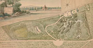
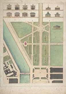
Background imageMap Collection: Plan for the Garden of the Chateau de Bagatelle, 1817. Creator: Pierre Lapie

Plan for the Garden of the Chateau de Bagatelle, 1817. Creator: Pierre Lapie
Plan for the Garden of the Chateau de Bagatelle, 1817

Background imageMap Collection: Jardin Public, Champs Elysees, n. d Creator: Charles Etienne Pierre Motte

Jardin Public, Champs Elysees, n. d Creator: Charles Etienne Pierre Motte
Jardin Public, Champs Elysees, n.d.. The Jardin des Champs Elysees public park in the 8th arrondissement of Paris designed in 1667 by Andre Le Notre. After Gabriel Thouin

Background imageMap Collection: Design for a Church with a Central Octagonal Plan, 1570-1620. Creator: Anon

Design for a Church with a Central Octagonal Plan, 1570-1620. Creator: Anon
Design for a Church with a Central Octagonal Plan, 1570-1620

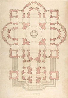
Background imageMap Collection: Bramantes Plan for St. Peter s, 16th-17th century. Creator: Anon

Bramantes Plan for St. Peter s, 16th-17th century. Creator: Anon
Bramantes Plan for St. Peter s, 16th-17th century

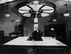
Background imageMap Collection: Over And Out

Over And Out
circa 1930: Centre of communication for New Yorks Metropolitan police cars with maps of the boroughs covered at the centre desk and the radio operator at the far end of the room

Background imageMap Collection: Ocean Currents Map 1876

Ocean Currents Map 1876
map to illustrate ocean currents dated 1876 showing the continuous, directed movement of sea water generated by a number of forces acting upon the water

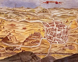
Background imageMap Collection: Perspective view of the plan of Athens, Greece 1700 Date: 1700

Perspective view of the plan of Athens, Greece 1700 Date: 1700

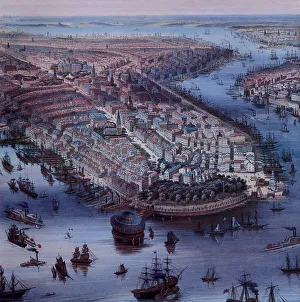
Background imageMap Collection: View of New York City 1849 and Waterways Date: 1849

View of New York City 1849 and Waterways Date: 1849

Background imageMap Collection: Couple on a Train Date: 1948

Couple on a Train Date: 1948

Background imageMap Collection: West Africa 1547 Date: 1547

West Africa 1547 Date: 1547

Background imageMap Collection: Terra Java 1547 Date: 1547

Terra Java 1547 Date: 1547

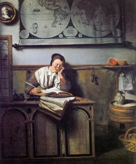
Background imageMap Collection: The Account Keeper Date: 1656

The Account Keeper Date: 1656

Background imageMap Collection: World Map in Projection

World Map in Projection

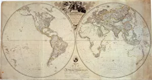
Background imageMap Collection: Hemisphere Map with Text

Hemisphere Map with Text

Background imageMap Collection: World Map with Top Border

World Map with Top Border

Background imageMap Collection: Texas Map and Crops

Texas Map and Crops

Background imageMap Collection: North Polar Region 1897 Date: 1897

North Polar Region 1897 Date: 1897

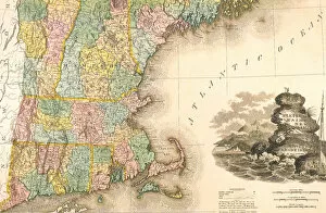
Background imageMap Collection: East Coast Map 1823 Date: 1823

East Coast Map 1823 Date: 1823

Background imageMap Collection: Map of the Americas1633 Date: 1633

Map of the Americas1633 Date: 1633

Background imageMap Collection: Map of Africa 1633 Date: 1633

Map of Africa 1633 Date: 1633

Background imageMap Collection: Map of Asia 1633 Date: 1633

Map of Asia 1633 Date: 1633

Background imageMap Collection: Map of North Africa 1513 Date: 1513

Map of North Africa 1513 Date: 1513

Background imageMap Collection: Map of the Indian Ocean 1700 Date: 1700

Map of the Indian Ocean 1700 Date: 1700

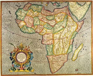
Background imageMap Collection: Map of Africa, 1645 Date: 1645

Map of Africa, 1645 Date: 1645

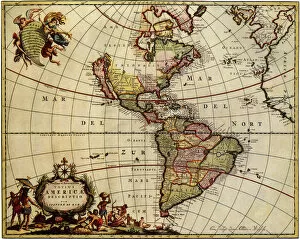
Background imageMap Collection: Map of the Americas 1685 Date: 1685

Map of the Americas 1685 Date: 1685

Background imageMap Collection: Ancient Map of Japan 1606 Date: 1606

Ancient Map of Japan 1606 Date: 1606

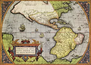
Background imageMap Collection: Early Map of Americas 1570 Date: 1570

Early Map of Americas 1570 Date: 1570

Background imageMap Collection: Copying Maps, Photographic Headquarters, Petersburg, Virginia, March 1865

Copying Maps, Photographic Headquarters, Petersburg, Virginia, March 1865

Background imageMap Collection: Hotels on the route of the London-Geneva Pass Road

Hotels on the route of the London-Geneva Pass Road
Recommended Hotels on the route of the London-Geneva Pass Road - selected for quietness, good food and reasonable prices. This particulr card was from the Grand Hotel Ripotot at Champagnole

Background imageMap Collection: French Commander directing operations from tree top 1917

French Commander directing operations from tree top 1917
Birds-eye view of the battle behind the lines, showing two French Commanders with periscope and map, directing operations and sending their strategy back to the front lines. Date: 1917

Background imageMap Collection: Plans International Exhibition 1862

Plans International Exhibition 1862
Plans of galleries at The International of 1862, or Great London Exposition, held at South Kensington, London. Date: 1862

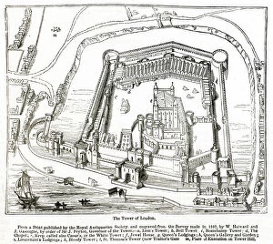
Background imageMap Collection: Tower of London and surrounding area 1597

Tower of London and surrounding area 1597
From a print published by the Royal Antiquarian Society and engraved from the survey made in 1597. Date: 1597

Background imageMap Collection: READING A ROAD MAP

READING A ROAD MAP
To the adventurous schoolboy there is high romance in following the line of a road, even on paper and the mature motorist delights in following the route correctly. Date: 1940s

Background imageMap Collection: MAP / GENTILE NATIONS

MAP / GENTILE NATIONS
A map of the Gentile Nations, as mentioned in the Prophets and historical books of the Old Testament. Date: BC

Background imageMap Collection: MAP / AFRICA / EGYPT / COAST

MAP / AFRICA / EGYPT / COAST
Map of Egypt: the coastline near Alexandria, at the time of the Battle of the Nile (1 August 1798) Date: 1798


All Professionally Made to Order for Quick Shipping

"Journey through Time and Space: Exploring the World of Maps" Maps have been an essential tool for centuries, guiding us through uncharted territories and helping us understand our world. From the Thirteen original colonies in 1776 to William Smith's groundbreaking Geological Map, these visual representations have shaped our understanding of geography, history, and even ourselves. Step onto a Reflexology foot map, where every pressure point tells a story about our well-being. Or immerse yourself in the intricate details of Richard de Bello's masterpiece - The Hereford Mappa Mundi (c1285), a medieval treasure that showcases both geographical knowledge and artistic finesse. Travel back in time with antique maps like the Roman Empire or Britain under the Anglo Saxons; they offer glimpses into ancient civilizations that once thrived. And let's not forget the Falkland Islands Royal Engineer briefing map from 1982, reminding us how maps play crucial roles during times of conflict. Delve into Al-Idrisi's world map from 1154 or explore GWR Network Map from c1920s - each capturing different eras' perspectives on global connectivity. Swindon Works Map from c1940s takes you behind-the-scenes of industrial revolution marvels. Finally, lose yourself in a mesmerizing journey across Ancient Greece as you trace your finger along its contours on an old parchment-like map. Discover mythical lands and legendary tales that still resonate today, and are more than just navigational aids; they are gateways to exploration and understanding. They tell stories of triumphs, discoveries, cultures lost to time but preserved within their lines. So next time you unfold a map or scroll through digital coordinates (like EXPL2A-00352), remember that you hold much more than directions – you hold pieces of history waiting to be explored anew.