
Mapmaker Collection
"Unveiling the World: A Journey through Time and Space with the Mapmaker" Step into a realm where history unfolds


All Professionally Made to Order for Quick Shipping
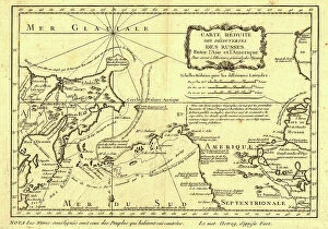
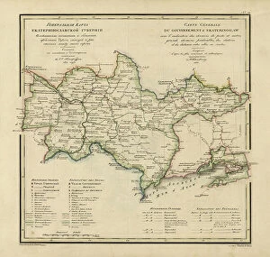
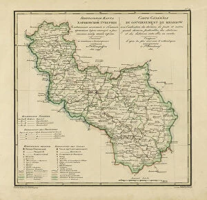
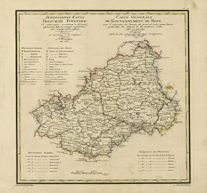
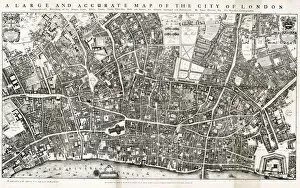
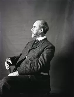
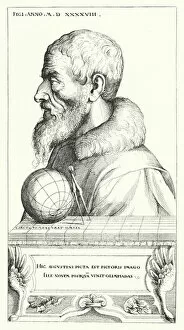
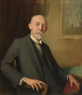
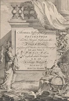
"Unveiling the World: A Journey through Time and Space with the Mapmaker" Step into a realm where history unfolds, as ancient maps whisper tales of exploration and discovery. An Antique Double-Hemisphere World Map from 1686 takes us back to an era when cartography was both art and science, capturing the imagination of adventurers. Intricate details come alive in the Map of the City of London by John Ogilby, transporting us to bustling streets and hidden corners of this vibrant metropolis in 1676. Ogilby's meticulous work reveals a city teeming with life, waiting to be explored. The enigmatic Portrait of Arthur Carl Victor Schott beckons us closer, inviting us to unravel his story before his untimely demise in 1875. Created by an unknown artist, this captivating portrait leaves us wondering about Schott's accomplishments and dreams. Next, we encounter Increase Allen Lapham examining the Wisconsin Meteorite through a thought-provoking portrait. This glimpse into Lapham's world offers insight into his scientific pursuits and fascination with celestial wonders. William Henry Holmes comes alive before our eyes in a mesmerizing portrait from the 1890s. As we gaze upon him, we sense his passion for archaeology and anthropology radiating from every brushstroke—a testament to his contributions that shaped our understanding of human history. Traveling further back in time, we encounter a Ptolemaic Map of Italy from 1482—an exquisite piece showcasing early attempts at mapping regions accurately. Its colored litho technique adds depth to its beauty while revealing how knowledge expanded throughout centuries. Paul Sandby Esquire invites us on an artistic journey through cobbled streets and picturesque landscapes captured in an engraving dating back to approximately 1787. Sandby's talent shines as he immortalizes scenes that evoke nostalgia for simpler times.