
Mayfield Road Collection
"Exploring the diverse landscapes and vibrant communities along Mayfield Road, from South Ribble to Middlesbrough


All Professionally Made to Order for Quick Shipping
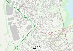
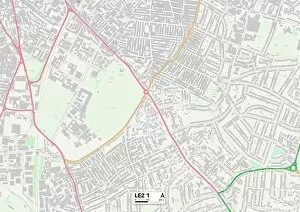
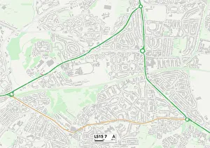
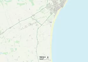
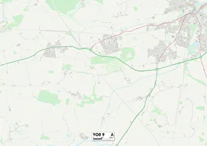
"Exploring the diverse landscapes and vibrant communities along Mayfield Road, from South Ribble to Middlesbrough. " Embark on a journey through picturesque towns and cities, starting in South Ribble (PR25 3 Map) with its charming countryside views. Travel further east to Leicester (LE2 1 Map), where history meets modernity in this bustling cultural hub. Continue southwards to Merton (SW19 3 Map), known for its leafy neighborhoods and world-renowned tennis championships. As you venture westward, be captivated by the stunning scenery of Malvern Hills (WR13 5 Map), offering breathtaking hikes and panoramic vistas. Next stop is Daventry (NN11 9 Map), a hidden gem nestled amidst rolling hills, providing tranquility away from the urban bustle. Heading northwards brings you to Leeds (LS15 7 Map), a vibrant city brimming with art, music, and an energetic nightlife. Discover Derby's (DE21 6 Map) rich industrial heritage as you explore its historic buildings and immerse yourself in local culture. Wolverhampton awaits next – first at WV7 3 Map showcasing idyllic countryside charm before reaching WV1 2Map boasting a lively city center filled with shopping destinations and entertainment venues. Continuing eastward leads you to East Riding of Yorkshire's YO15 3Map where coastal beauty meets quaint seaside towns perfect for relaxation or adventure sports enthusiasts. Finally, reach York's YO8-9Map – an enchanting medieval city steeped in history that will transport you back in time. Conclude your journey in Middlesbrough’s TS7 OMap - a thriving metropolis blending contemporary architecture with natural wonders along the River Tees. From start to finish, Mayfield Road promises an unforgettable experience through captivating landscapes and diverse communities.