Home > Europe > United Kingdom > England > London > Sights > Victoria Park
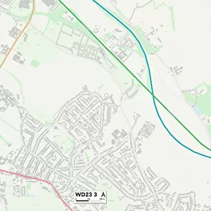
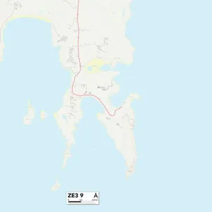
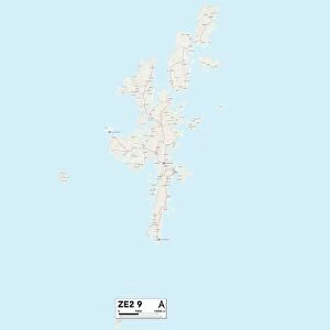
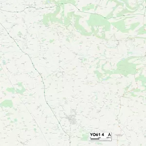
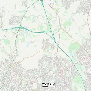
Wolverhampton WV7 3 Map
![]()

Wall Art and Photo Gifts from Map Marketing
Wolverhampton WV7 3 Map
Postcode Sector Map of Wolverhampton WV7 3
Media ID 19983346
Abingdon Road Albert Road Anson Road Ash Grove Austin Drive Barclay Close Barn Lane Barrington Close Battle Road Blenheim Crescent Bowling Green Lane Bredon Close Brindley Close Brooklands Road Bush Close Cedar Drive Charles Avenue Church Lane Church Road Circular Road Coningsby Road Cotswold Drive Cross Road Eastern Avenue Elm Road Farm Drive Farm Road Grange Park Grange Road Green Lane Halifax Road Hereford Close High House Lane High Street Holyhead Road Hudson Road Kennel Lane Kingswood Kingswood Road Lancaster Close Long Croft Long Lane Manor Gardens Mayfair Close Mayfield Road Meadow Road Mill Lane Millfield Road Newhouse Lane Newport Road Newton Close Old Hall Close Poplar Avenue Rectory Road Sandy Lane Shaw Lane St Marys Close Station Road Stirling Road Talbot Road Telford Avenue The Glebe The Limes The Orchard The Oval The Smithy Victor Close Victoria Road Vincent Close Virginia Road Waddington Road Wellington Road Western Avenue Weston Road Whiston Close Whitley Road Windmill Lane Windsor Road Wolverhampton Woodhouse Lane Woodland Close Worcester Road Cosford County Lane
FEATURES IN THESE COLLECTIONS
> Map Marketing
> Postcode Sector Maps
> WV - Wolverhampton
> Animals
> Mammals
> Muridae
> House Mouse
> Animals
> Mammals
> Muridae
> Western Mouse
> Arts
> Artists
> F
> Newton Fielding
> Arts
> Artists
> G
> Charles Green
> Arts
> Artists
> W
> Charles White
> Arts
> Portraits
> Pop art gallery
> Street art portraits
> Europe
> United Kingdom
> England
> Herefordshire
> Maps
> Europe
> United Kingdom
> England
> London
> Sights
> Victoria Park
> Europe
> United Kingdom
> Scotland
> Stirlingshire
> Stirling
> Europe
> United Kingdom
> Wales
> Anglesey
> Holyhead
MADE IN AUSTRALIA
Safe Shipping with 30 Day Money Back Guarantee
FREE PERSONALISATION*
We are proud to offer a range of customisation features including Personalised Captions, Color Filters and Picture Zoom Tools
SECURE PAYMENTS
We happily accept a wide range of payment options so you can pay for the things you need in the way that is most convenient for you
* Options may vary by product and licensing agreement. Zoomed Pictures can be adjusted in the Cart.


