
New France Collection (page 5)
"Exploring the Riches of New France: A Glimpse into a Forgotten Era" Step back in time and discover the captivating history through these intriguing hints


All Professionally Made to Order for Quick Shipping
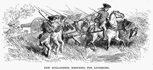
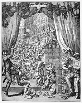
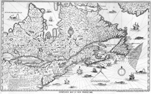
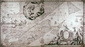
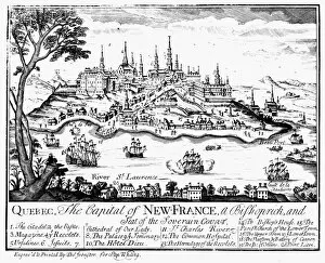
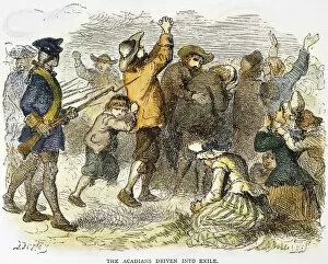
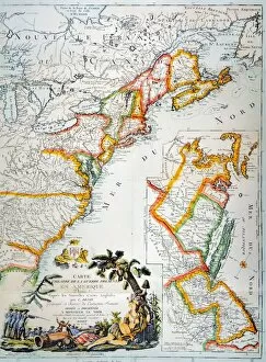
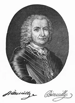
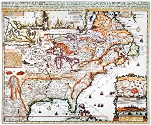
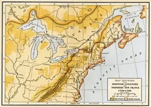
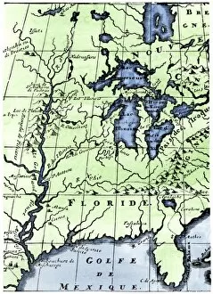
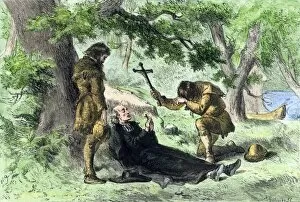
"Exploring the Riches of New France: A Glimpse into a Forgotten Era" Step back in time and discover the captivating history through these intriguing hints. Delve into the depths of this once-vibrant colony with a French engraved map of the Great Lakes from 1755, offering a glimpse into its geographical significance. Immerse yourself in the fur trade that shaped New France's destiny as you admire an authentic Flintlock pistol, symbolizing both commerce and conflict. Witness pivotal moments like Major General James Wolfe and Marquis de Montcalm facing off at the Battle of Quebec in 1759, forever etched in history. Marvel at Samuel de Champlain surrendering Quebec to Admiral Kirke in 1629, capturing a crucial turning point for this French stronghold. Meet Sieur d'Iberville, a gallant French-Canadian soldier who left his mark on New France's legacy. Explore beyond Quebec as you encounter an engraving depicting the plan of New Orleans from 1718-1720, showcasing early French influence on American soil. Reflect upon General Wolfe's tragic demise during the Siege of Quebec in 1759 through an English copper engraving dating back to 1792. Witness Native American tribes uniting against their common foes within New France during the tumultuous 17th century. Feel their determination as Hurons gather to fight Iroquois forces, highlighting indigenous resistance amidst colonial struggles. New France may have faded into obscurity over time, but its impact remains indelible. Join us on this journey through centuries past and uncover tales of exploration, conquests, alliances forged and broken – all within this forgotten chapter that helped shape North America's identity.