
Northwest Territory Collection
The Northwest Territory, a vast and historically significant region, holds tales of exploration, growth, and cultural diversity


All Professionally Made to Order for Quick Shipping
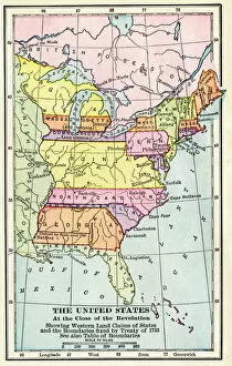
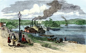
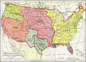
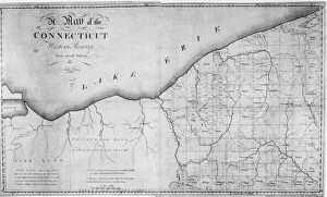
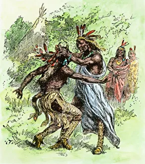
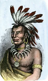
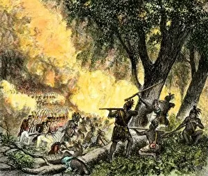
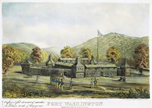
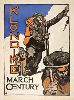
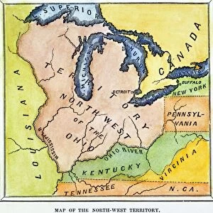
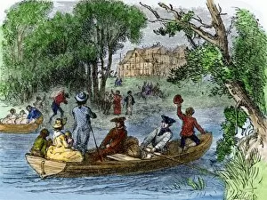
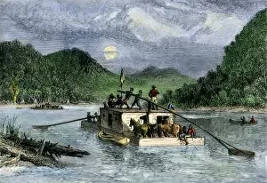
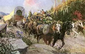
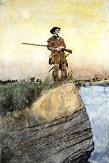
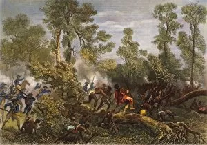
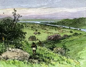
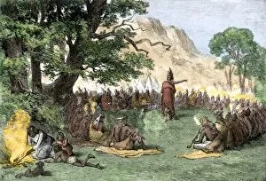
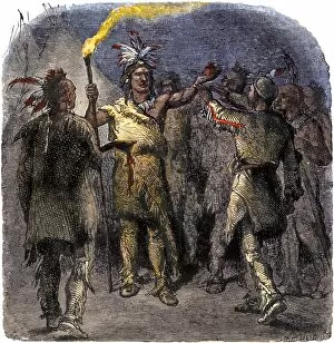
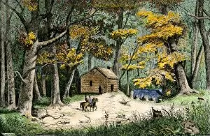
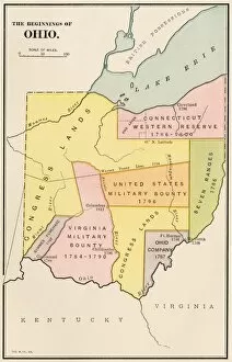
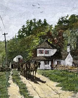
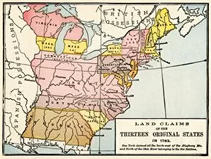
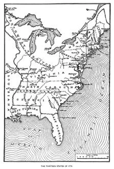
The Northwest Territory, a vast and historically significant region, holds tales of exploration, growth, and cultural diversity. Marietta on the Ohio River in the 1870s was a bustling town that played a pivotal role in shaping this territory's destiny. As the United States expanded its borders until 1853, this area witnessed remarkable development. One cannot discuss the Northwest Territory without mentioning the Connecticut Western Reserve on Lake Erie. This land became part of northeastern Ohio and contributed to its rapid expansion. The meticulously engraved map by Amos Doolittle showcases this reserve's potential for prosperity after Seth Pease's survey. Native American history intertwines with that of settlers in this region. Tecumseh and his brother, The Prophet, left an indelible mark on the Northwest Territory through their leadership and resistance against encroachment. Their legacy continues to inspire generations today. Fort Washington stands as a testament to early American military presence in Cincinnati since its establishment in 1790. This fortification served as protection while settlers ventured into uncharted territories within the Northwest Territory. Even beyond America's borders lies another Northwestern gem: Canada's Northwest Territories. Inuit Indians call these lands home—a vibrant culture rich with traditions passed down through generations amidst breathtaking landscapes like Wood Buffalo National Park's salt plains and ponds. As we delve into history books or admire captivating lithographs such as "Klondike" from Century Magazine (March 1898), we are reminded of how interconnected our world truly is—how stories from different corners shape our understanding of places like the Northwest Territory. From Marietta to Fort Washington; from Native American leaders to Canadian Inuit communities; from maps etched with precision to stunning natural wonders—the tale of the Northwest Territory unfolds before us like pages waiting to be explored further.