Fraud Blocker Skip to main content

Old Town Plan Collection (page 4)

Step back in time with these captivating old town plans

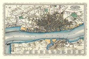
Background imageOld Town Plan Collection: Old Map of Liverpool 1866 by Fullarton & Co

Old Map of Liverpool 1866 by Fullarton & Co
This is an interesting and detailed reproduction Victorian town plan of Liverpool which was originally published in John Marius Wilsons The Imperial Gazeteer of England and Wales (A. Fullarton & co)

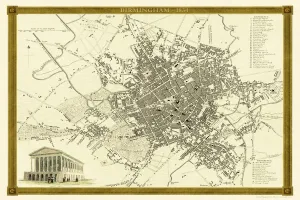
Background imageOld Town Plan Collection: Old Map of Birmingham 1834 by John Dower and William Orr

Old Map of Birmingham 1834 by John Dower and William Orr
A highly detailed reproduction city map of Birmingham originally published in London, 1834. Interestingly it shows the planned route of the Grand Junction Railway coming into the North of Birmingham

Background imageOld Town Plan Collection: Old Map of Birmingham 1816

Old Map of Birmingham 1816
J077

Background imageOld Town Plan Collection: Old Map of Birmingham 1825

Old Map of Birmingham 1825
J078

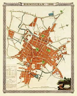
Background imageOld Town Plan Collection: Old Map of Birmingham 1808

Old Map of Birmingham 1808
J074

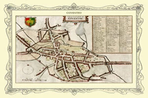
Background imageOld Town Plan Collection: Old Map of Coventry 1730

Old Map of Coventry 1730
J102

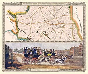
Background imageOld Town Plan Collection: Old Map of the Turnpike Road u Erdington 1833 with Stagecoaches at 'The Green'

Old Map of the Turnpike Road u Erdington 1833 with Stagecoaches at "The Green"
J130

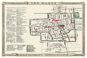
Background imageOld Town Plan Collection: George Bradshaws Plan of The Hague, Netherlands1896

George Bradshaws Plan of The Hague, Netherlands1896
This is a very detailed Plan of The Hague showing the streets, canals, principal buildings, railways and railway stations

Background imageOld Town Plan Collection: Old Map of Durham 1806 by Cole and Roper

Old Map of Durham 1806 by Cole and Roper
An attractive and detailed early 19th century reproduction town plan of Durham 1805. First published by Cole and Roper as a finely engraved series of county maps

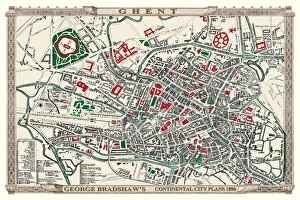
Background imageOld Town Plan Collection: George Bradshaws Plan of Ghent, Belgium1896

George Bradshaws Plan of Ghent, Belgium1896
This is a detailed Plan of Ghent showing the streets, canals, principal buildings, railways and railway stations. It has been meticulously recreated in colour and republished without

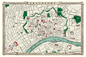
Background imageOld Town Plan Collection: George Bradshaws Plan of Frankfort, Germany 1896

George Bradshaws Plan of Frankfort, Germany 1896
This is a detailed Plan of Frankfort showing the streets, canals, principal buildings, railways and railway stations. It has been meticulously recreated in colour and republished without

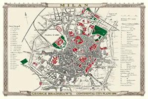
Background imageOld Town Plan Collection: George Bradshaws Plan of Milan, Italy1896

George Bradshaws Plan of Milan, Italy1896
This is a detailed Plan of Milan showing the streets, canals, principal buildings, railways and railway stations. There is a comprehensive list of 57 Principal buildings

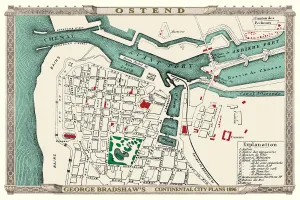
Background imageOld Town Plan Collection: George Bradshaws Plan of Ostend, Belgium 1896

George Bradshaws Plan of Ostend, Belgium 1896
This is a detailed Plan of Ostend showing the streets, canals, principal buildings, railways and railway stations. It has been meticulously recreated in colour and republished without

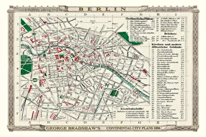
Background imageOld Town Plan Collection: George Bradshaws Plan of Berlin, Germany 1896

George Bradshaws Plan of Berlin, Germany 1896
This is a detailed Plan of Berlin showing the streets, canals, principal buildings, railways and railway stations. There is a numbered key to principal buildings and places of interest

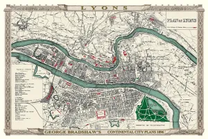
Background imageOld Town Plan Collection: George Bradshaws Plan of Lyons, France 1896

George Bradshaws Plan of Lyons, France 1896
This is a detailed Plan of Lyons showing the streets, canals, principal buildings, railways and railway stations. There is a comprehensive list of Places of Interest numerically illustrated with

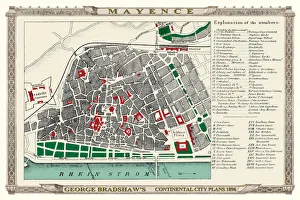
Background imageOld Town Plan Collection: George Bradshaws Plan of Mainz or Mayence, Germany 1896

George Bradshaws Plan of Mainz or Mayence, Germany 1896
This is a detailed Plan of Mayence, or Mainz, showing the streets, canals, principal buildings, railways and railway stations


All Professionally Made to Order for Quick Shipping

Step back in time with these captivating old town plans. From the Old Map of Wolverhampton in 1750 by Isaac Taylor to the intricate details of the Old Map of Stoke on Trent and the Potteries in 1831, each map tells a unique story of its city's past. Explore the charming streets and landmarks as they were over a century ago, like Brighton in 1851 by John Tallis or Bath in the same year. Immerse yourself in history with an Old Map of Bristol from 1903 or Birmingham's streetscape from 1851, both beautifully crafted by John Tallis. Discover Plymouth, Devonport, and Stonehouse through their Royal Atlas map from 1898 or Aberdeen's rich heritage depicted on John Tallis' map from 1851. Marvel at Sheffield's transformation over time with another gem by John Tallis dating back to 1851 or explore Bristol's evolving urban landscape captured meticulously by Fullarton & Co in their map from 1866. Lastly, take a glimpse into Sutton Coldfield's district history through an old map dating back to1887 before venturing north to Belfast with yet another masterpiece created by John Tallis himself in 1851. These they are not just maps; they are gateways into our ancestors' lives and offer us a chance to appreciate how far we have come while cherishing our roots.