Fraud Blocker Skip to main content

Old Town Plan Collection (page 3)

Step back in time with these captivating old town plans

Background imageOld Town Plan Collection: Old Map of Birmingham 1866 by Fullarton & Co

Old Map of Birmingham 1866 by Fullarton & Co
This detailed reproduction plan of Birmingham has been re-worked from an antique originally published in the 1860,s by Archibold Fullarton & Company

Background imageOld Town Plan Collection: Old Map of the Royal Town of Sutton Coldfield 1884

Old Map of the Royal Town of Sutton Coldfield 1884
PL050

Background imageOld Town Plan Collection: Old Map of Birmingham 1832 by James Drake

Old Map of Birmingham 1832 by James Drake
J069

Background imageOld Town Plan Collection: Old Map of Walsall 1824 by Mason

Old Map of Walsall 1824 by Mason
J022

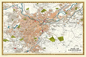
Background imageOld Town Plan Collection: Old Map of Sheffield 1893 from the Comprehensive Gazetteer Atlas of England and Wales

Old Map of Sheffield 1893 from the Comprehensive Gazetteer Atlas of England and Wales
J112

Background imageOld Town Plan Collection: Old Map of West Bromwich in the West Midlands 1837

Old Map of West Bromwich in the West Midlands 1837
PL021

Background imageOld Town Plan Collection: Old Map of Leeds 1866 by Fullarton & Co

Old Map of Leeds 1866 by Fullarton & Co
This is an interesting and detailed reproduction Victorian town plan of Leeds which was originally published in John Marius Wilsons The Imperial Gazeteer of England and Wales (A.Fullarton & co)

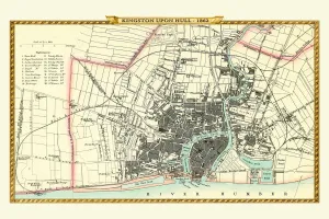
Background imageOld Town Plan Collection: Old Map of Kingston Upon Hull 1862 by Fullarton & Co

Old Map of Kingston Upon Hull 1862 by Fullarton & Co
This is an interesting and detailed reproduction Victorian town plan of Kingston-upon-Hull which was originally published in John Marius Wilsons The Imperial Gazeteer of England and Wales

Background imageOld Town Plan Collection: Old Map of Wednesbury Town in the Black Country 1846

Old Map of Wednesbury Town in the Black Country 1846
J023

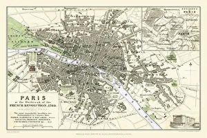
Background imageOld Town Plan Collection: Paris at the Outbreak of the French Revolution 1789

Paris at the Outbreak of the French Revolution 1789
This is a detailed Plan of Paris showing the Parks, Gardens and Squares, Palaces, Bridges over the River Seine, Churches, Convents

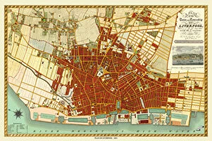
Background imageOld Town Plan Collection: Old Map of Liverpool 1821 by J. Gore

Old Map of Liverpool 1821 by J. Gore
J121

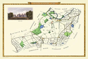
Background imageOld Town Plan Collection: Old Map of Aston Manor near Birmingham 1796

Old Map of Aston Manor near Birmingham 1796
J122

Background imageOld Town Plan Collection: Old Map of the Village of Bloxwich near Walsall 1884

Old Map of the Village of Bloxwich near Walsall 1884
PL002

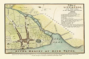
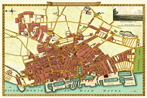
Background imageOld Town Plan Collection: Old map of Liverpool 1650 by Thomas Kaye

Old map of Liverpool 1650 by Thomas Kaye
An interesting map originally published in 1829 by Thomas Kaye, this reproduction map represents the town of Liverpool in 1650

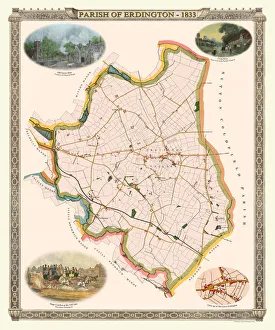
Background imageOld Town Plan Collection: Old Map of The Parish of Erdington 1833

Old Map of The Parish of Erdington 1833
J129

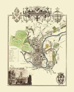
Background imageOld Town Plan Collection: Old Map of the City of Bath 1836 by Thomas Moule

Old Map of the City of Bath 1836 by Thomas Moule
This is a fine decorative reproduction Map of The City of Bath from the First Edition series of Thomas Moule Maps, originally Published in 1836

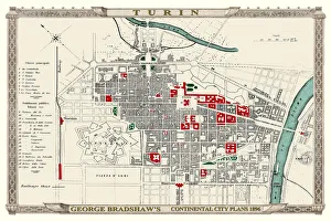
Background imageOld Town Plan Collection: George Bradshaws Plan of Turin, Italy1896

George Bradshaws Plan of Turin, Italy1896
This is a very detailed Plan of Turin, which features streets, canals, principal buildings, railways and railway stations

Background imageOld Town Plan Collection: Old Map of the City Oxford 1836 by Thomas Moule

Old Map of the City Oxford 1836 by Thomas Moule
This is a fine decorative reproduction Map of The City of Oxford from the First Edition series of Thomas Moule Maps, originally Published in 1836

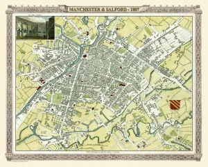
Background imageOld Town Plan Collection: Old Map of Manchester 1807 by Cole and Roper

Old Map of Manchester 1807 by Cole and Roper
An attractive and detailed early 19th century reproduction town plan of Manchester 1807. First published by Cole and Roper as a finely engraved series of county maps

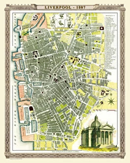
Background imageOld Town Plan Collection: Old Map of Liverpool 1807 by Cole and Roper

Old Map of Liverpool 1807 by Cole and Roper
An attractive and detailed early 19th century reproduction town plan of Liverpool 1807. First published by Cole and Roper as a finely engraved series of county maps

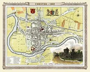
Background imageOld Town Plan Collection: Old Map of Chester 1805 by Cole and Roper

Old Map of Chester 1805 by Cole and Roper
An attractive and detailed early 19th century reproduction town plan of Chester 1805. First published by Cole and Roper as a finely engraved series of county maps

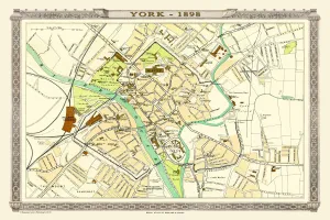
Background imageOld Town Plan Collection: Old Map of York 1898 from the Royal Atlas by Bartholomew

Old Map of York 1898 from the Royal Atlas by Bartholomew
A fine very detailed plan of the City of York remastered from an original contained within " The Royal Atlas of England and Wales" ; edited by J.G

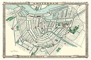
Background imageOld Town Plan Collection: George Bradshaws Plan of Amsterdam, Holland 1896

George Bradshaws Plan of Amsterdam, Holland 1896
This is a detailed Plan of Amsterdam showing the streets, canals, principal buildings, railways and railway stations. It has been meticulously recreated in colour and republished without
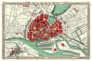
Background imageOld Town Plan Collection: George Bradshaws Plan of Hamburg, Germany 1896

George Bradshaws Plan of Hamburg, Germany 1896
This is a detailed Plan of Hamburg showing the streets, canals, principal buildings, railways and railway stations. It has been meticulously recreated in colour and republished without
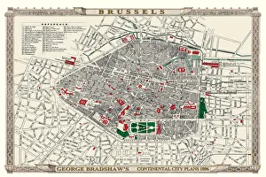
Background imageOld Town Plan Collection: George Bradshaws Plan of Brussels, Belgium 1896

George Bradshaws Plan of Brussels, Belgium 1896
This is a detailed Plan of Brussels showing the streets, canals, principal buildings, railways and railway stations. The walled inner city is differentiated from the outer part of the city

Background imageOld Town Plan Collection: Old Map of Map of Liverpool Surveyed in 1795 by John Stockdale

Old Map of Map of Liverpool Surveyed in 1795 by John Stockdale
J016

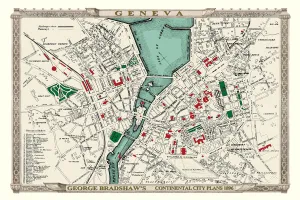
Background imageOld Town Plan Collection: George Bradshaws Plan of Geneva, Switzerland 1896

George Bradshaws Plan of Geneva, Switzerland 1896
This is a detailed Plan of Geneva showing the streets, canals, principal buildings, railways and railway stations. There is a key to 36 principal buildings to the bottom left of the plan

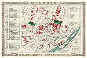
Background imageOld Town Plan Collection: George Bradshaws Plan of Munchen or Munich, Germany 1896

George Bradshaws Plan of Munchen or Munich, Germany 1896
This is a detailed Plan of Munchen, or Munich, showing the streets, canals, principal buildings, railways and railway stations

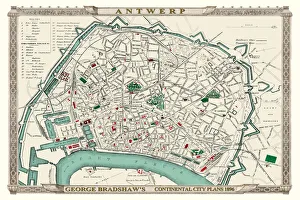
Background imageOld Town Plan Collection: George Bradshaws Plan of Antwerp, Belgium 1896

George Bradshaws Plan of Antwerp, Belgium 1896
This is a detailed Plan of Antwerp showing the streets, canals, principal buildings, railways and railway stations. There is a numbered key to principal buildings and places of interest

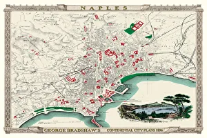
Background imageOld Town Plan Collection: George Bradshaws Plan of Naples, Greece 1896

George Bradshaws Plan of Naples, Greece 1896
This is a detailed Plan of the Port and City of Naples showing the streets, canals, principal buildings, railways and railway stations

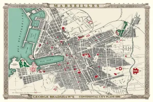
Background imageOld Town Plan Collection: George Bradshaws Plan of Marseilles, France 1896

George Bradshaws Plan of Marseilles, France 1896
This is a detailed Plan of the Port and City of Marseilles showing the streets, canals, principal buildings, railways and railway stations

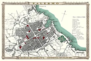
Background imageOld Town Plan Collection: George Bradshaws Plan of Palermo, Italy1896

George Bradshaws Plan of Palermo, Italy1896
This is a detailed Plan of Palermo showing the streets, canals, principal buildings, railways and railway stations. It has been meticulously recreated in colour and republished without

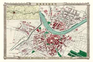
Background imageOld Town Plan Collection: George Bradshaws Plan of Dresden, Germany 1896

George Bradshaws Plan of Dresden, Germany 1896
This is a detailed Plan of Dresden showing the streets, canals, principal buildings, railways and railway stations. There is an inset map of the Environs of Dresden in the top left area of the plan

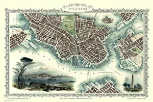
Background imageOld Town Plan Collection: Old Map of Boston United States of America 1851 by John Tallis

Old Map of Boston United States of America 1851 by John Tallis
This a most attractive plan of Boston by John Tallis 1851 that includes South Boston Bay, part of South Boston with Charleston Town to the right of the plan

Background imageOld Town Plan Collection: Old Map of Liverpool 1851 by John Tallis

Old Map of Liverpool 1851 by John Tallis
Running along the entire length of the plan of Liverpool in Lancashire by John Tallis 1851 is a most attractive view across the River Mersey from Birkenhead to the Victorian Liverpool skyline

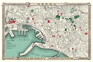
Background imageOld Town Plan Collection: George Bradshaws Plan of Genoa, Italy 1896

George Bradshaws Plan of Genoa, Italy 1896
This is a detailed Plan of the Port and City of Genoa showing the streets, canals, principal buildings, railways and railway stations

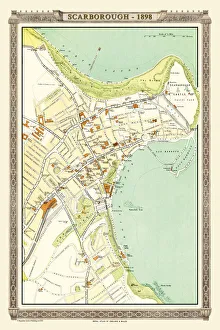
Background imageOld Town Plan Collection: Old Map of Scarborough 1898 from the Royal Atlas by Bartholomew

Old Map of Scarborough 1898 from the Royal Atlas by Bartholomew
A fine very detailed plan of the Seaside Town of Scarborough from 1898 remastered from an original contained within " The Royal Atlas of England and Wales" ; edited by J.G

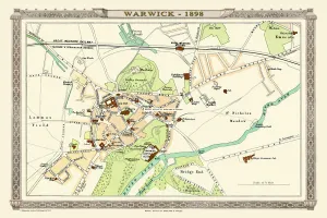
Background imageOld Town Plan Collection: Old Map of Warwick 1898 from the Royal Atlas by Bartholomew

Old Map of Warwick 1898 from the Royal Atlas by Bartholomew
A fine very detailed plan of the City of Warwick remastered from an original contained within " The Royal Atlas of England and Wales" ; edited by J.G

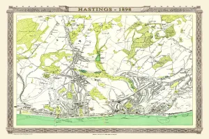
Background imageOld Town Plan Collection: Old Map of Hastings 1898 from the Royal Atlas by Bartholomew

Old Map of Hastings 1898 from the Royal Atlas by Bartholomew
A fine very detailed town plan of Hastings from 1898 remastered from an original contained within " The Royal Atlas of England and Wales" ; edited by J.G

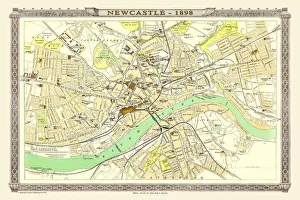
Background imageOld Town Plan Collection: Old Map of Newcastle 1898 from the Royal Atlas by Bartholomew

Old Map of Newcastle 1898 from the Royal Atlas by Bartholomew
A fine very detailed plan of the City of Newcastle remastered from an original contained within " The Royal Atlas of England and Wales" ; edited by J.G

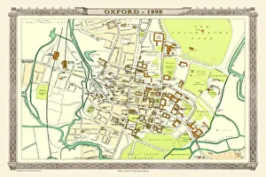
Background imageOld Town Plan Collection: Old Map of Oxford 1898 from the Royal Atlas by Bartholomew

Old Map of Oxford 1898 from the Royal Atlas by Bartholomew
A fine very detailed plan of the City of Oxford remastered from an original contained within " The Royal Atlas of England and Wales" ; edited by J.G

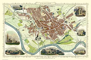
Background imageOld Town Plan Collection: Old Map of Preston 1851 by John Tallis

Old Map of Preston 1851 by John Tallis
The River Ribble in Lancashire by John Tallis 1851 with a most rural presentation of Preston surrounded by numerous meadows and open fields. The plan is beautifully finished with seven illustrations

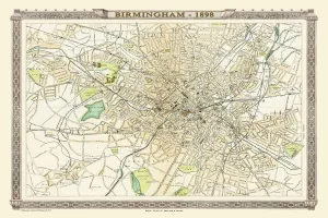
Background imageOld Town Plan Collection: Old Map of Birmingham 1898 from the Royal Atlas by Bartholomew

Old Map of Birmingham 1898 from the Royal Atlas by Bartholomew
A fine very detailed plan of the City of Birmingham remastered from an original contained within " The Royal Atlas of England and Wales" ; edited by J.G

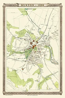
Background imageOld Town Plan Collection: Old Map of Buxton 1898 from the Royal Atlas by Bartholomew

Old Map of Buxton 1898 from the Royal Atlas by Bartholomew
A fine very detailed plan of the Spa Town of Buxton from 1898 remastered from an original contained within " The Royal Atlas of England and Wales" ; edited by J.G

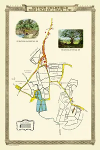
Background imageOld Town Plan Collection: Old Map of the Royal Town of Sutton Coldfield 1765 by John Snape

Old Map of the Royal Town of Sutton Coldfield 1765 by John Snape
PL042

Background imageOld Town Plan Collection: Old Map of the Town of Willenhall showing the Old Church of St Giles in 1838

Old Map of the Town of Willenhall showing the Old Church of St Giles in 1838
PL063

Background imageOld Town Plan Collection: Old Map of Lancaster 1824 by Edward Baines

Old Map of Lancaster 1824 by Edward Baines
This is a fine detailed reproduction Map of The City of Lancaster, originally Published in 1836 by Edwward Baines

Background imageOld Town Plan Collection: Old Map of Liverpool 1903

Old Map of Liverpool 1903
J103


All Professionally Made to Order for Quick Shipping

Step back in time with these captivating old town plans. From the Old Map of Wolverhampton in 1750 by Isaac Taylor to the intricate details of the Old Map of Stoke on Trent and the Potteries in 1831, each map tells a unique story of its city's past. Explore the charming streets and landmarks as they were over a century ago, like Brighton in 1851 by John Tallis or Bath in the same year. Immerse yourself in history with an Old Map of Bristol from 1903 or Birmingham's streetscape from 1851, both beautifully crafted by John Tallis. Discover Plymouth, Devonport, and Stonehouse through their Royal Atlas map from 1898 or Aberdeen's rich heritage depicted on John Tallis' map from 1851. Marvel at Sheffield's transformation over time with another gem by John Tallis dating back to 1851 or explore Bristol's evolving urban landscape captured meticulously by Fullarton & Co in their map from 1866. Lastly, take a glimpse into Sutton Coldfield's district history through an old map dating back to1887 before venturing north to Belfast with yet another masterpiece created by John Tallis himself in 1851. These they are not just maps; they are gateways into our ancestors' lives and offer us a chance to appreciate how far we have come while cherishing our roots.