
Orinoco River Collection
The Orinoco River, located in Venezuela, is a majestic waterway that holds great significance for the country


All Professionally Made to Order for Quick Shipping
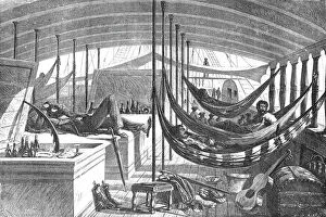
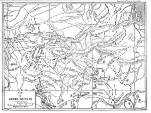
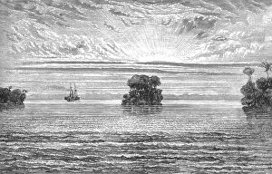
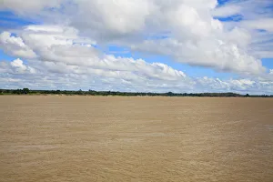
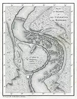
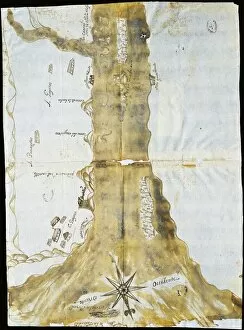
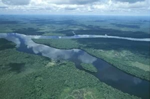
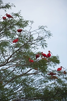
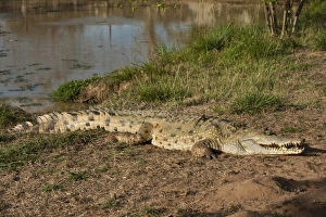
The Orinoco River, located in Venezuela, is a majestic waterway that holds great significance for the country. One of the best places to experience its beauty is Ciudad Bolivar, where you can stroll along the Paseo Orinoco and take in breathtaking views from the Mirador Angostura viewpoint. From here, you can witness the mesmerizing sight of the river as it flows through dense forests in Guayana and Amazonas states. Aerial views of this natural wonder are truly awe-inspiring. Whether captured from above Ciudad Bolivar or Puerto Ayacucho, these photos showcase the vastness and grandeur of the Orinoco River. It's no wonder that explorers like Alexander von Humboldt and Aime Bonpland were drawn to this enchanting place during their expedition in 1800-1804. Throughout history, transportation on this mighty river has played a vital role. In 1877, steamboats traversed its waters, connecting different parts of South America. The Cataracts of Maypures map highlights some challenging sections along its course. The importance of this river extends beyond just scenic beauty; it also serves as a crucial trade route. Pass cards have been issued for vessels entering Gulf Paria mouth or navigating through Maracaibo since ancient times. Sea charts dating back to 1675 depict how navigators relied on accurate mapping to safely navigate through Orinoquia's treacherous waters until reaching the mouth of the Orinoco River. Whether you explore Ciudad Bolivar's viewpoints or marvel at aerial photographs capturing its magnificence over Guayana and Amazonas states, there is no denying that experiencing the Orinoco River is an unforgettable journey into Venezuela's natural wonders and rich history.