Fraud Blocker Skip to main content

Queens Road Collection (page 4)

Discover the charm and diversity of Queens Road, as it stretches across various locations in the UK

Background imageQueens Road Collection: Wiltshire SP1 3 Map

Wiltshire SP1 3 Map
Postcode Sector Map of Wiltshire SP1 3

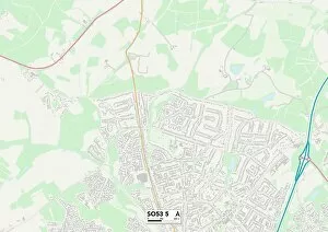
Background imageQueens Road Collection: Eastleigh SO53 5 Map

Eastleigh SO53 5 Map
Postcode Sector Map of Eastleigh SO53 5

Background imageQueens Road Collection: Southend-on-Sea SS1 1 Map

Southend-on-Sea SS1 1 Map
Postcode Sector Map of Southend-on-Sea SS1 1

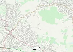
Background imageQueens Road Collection: Rochford SS6 8 Map

Rochford SS6 8 Map
Postcode Sector Map of Rochford SS6 8

Background imageQueens Road Collection: Wiltshire SP3 6 Map

Wiltshire SP3 6 Map
Postcode Sector Map of Wiltshire SP3 6

Background imageQueens Road Collection: Perth and Kinross PH6 2 Map

Perth and Kinross PH6 2 Map
Postcode Sector Map of Perth and Kinross PH6 2

Background imageQueens Road Collection: Cornwall PL25 4 Map

Cornwall PL25 4 Map
Postcode Sector Map of Cornwall PL25 4

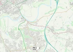
Background imageQueens Road Collection: South Ribble PR5 4 Map

South Ribble PR5 4 Map
Postcode Sector Map of South Ribble PR5 4

Background imageQueens Road Collection: Isle of Wight PO40 9 Map

Isle of Wight PO40 9 Map
Postcode Sector Map of Isle of Wight PO40 9

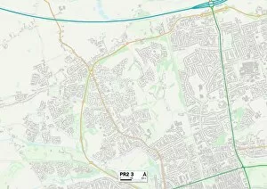
Background imageQueens Road Collection: Preston PR2 3 Map

Preston PR2 3 Map
Postcode Sector Map of Preston PR2 3

Background imageQueens Road Collection: Barnet NW4 2 Map

Barnet NW4 2 Map
Postcode Sector Map of Barnet NW4 2

Background imageQueens Road Collection: Renfrewshire PA5 9 Map

Renfrewshire PA5 9 Map
Postcode Sector Map of Renfrewshire PA5 9

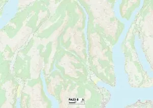
Background imageQueens Road Collection: Argyllshire PA23 8 Map

Argyllshire PA23 8 Map
Postcode Sector Map of Argyllshire PA23 8

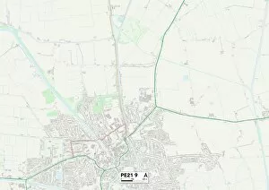
Background imageQueens Road Collection: Boston PE21 9 Map

Boston PE21 9 Map
Postcode Sector Map of Boston PE21 9

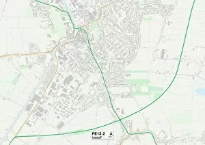
Background imageQueens Road Collection: Fenland PE13 2 Map

Fenland PE13 2 Map
Postcode Sector Map of Fenland PE13 2

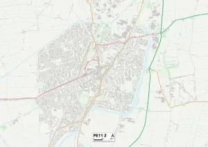
Background imageQueens Road Collection: South Holland PE11 2 Map

South Holland PE11 2 Map
Postcode Sector Map of South Holland PE11 2

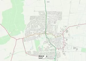
Background imageQueens Road Collection: South Kesteven PE10 9 Map

South Kesteven PE10 9 Map
Postcode Sector Map of South Kesteven PE10 9

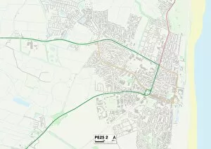
Background imageQueens Road Collection: East Lindsey PE25 2 Map

East Lindsey PE25 2 Map
Postcode Sector Map of East Lindsey PE25 2

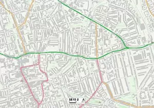
Background imageQueens Road Collection: Lewisham SE15 2 Map

Lewisham SE15 2 Map
Postcode Sector Map of Lewisham SE15 2

Background imageQueens Road Collection: Neath Port Talbot SA10 6 Map

Neath Port Talbot SA10 6 Map
Postcode Sector Map of Neath Port Talbot SA10 6

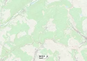
Background imageQueens Road Collection: Neath Port Talbot SA13 3 Map

Neath Port Talbot SA13 3 Map
Postcode Sector Map of Neath Port Talbot SA13 3

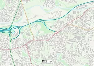
Background imageQueens Road Collection: Stockport SK8 2 Map

Stockport SK8 2 Map
Postcode Sector Map of Stockport SK8 2

Background imageQueens Road Collection: Stockport SK7 4 Map

Stockport SK7 4 Map
Postcode Sector Map of Stockport SK7 4

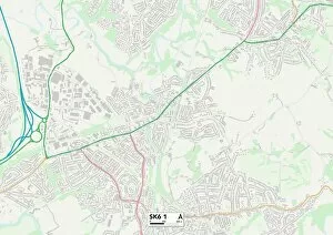
Background imageQueens Road Collection: Stockport SK6 1 Map

Stockport SK6 1 Map
Postcode Sector Map of Stockport SK6 1

Background imageQueens Road Collection: Plymouth PL5 2 Map

Plymouth PL5 2 Map
Postcode Sector Map of Plymouth PL5 2

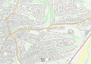
Background imageQueens Road Collection: Plymouth PL4 7 Map

Plymouth PL4 7 Map
Postcode Sector Map of Plymouth PL4 7

Background imageQueens Road Collection: Bedford NN29 7 Map

Bedford NN29 7 Map
Postcode Sector Map of Bedford NN29 7

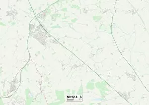
Background imageQueens Road Collection: South Northamptonshire NN12 6 Map

South Northamptonshire NN12 6 Map
Postcode Sector Map of South Northamptonshire NN12 6

Background imageQueens Road Collection: West Oxfordshire OX18 3 Map

West Oxfordshire OX18 3 Map
Postcode Sector Map of West Oxfordshire OX18 3

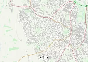
Background imageQueens Road Collection: Cherwell OX16 0 Map

Cherwell OX16 0 Map
Postcode Sector Map of Cherwell OX16 0

Background imageQueens Road Collection: South Oxfordshire OX9 3 Map

South Oxfordshire OX9 3 Map
Postcode Sector Map of South Oxfordshire OX9 3

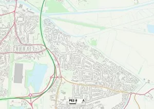
Background imageQueens Road Collection: Peterborough PE2 8 Map

Peterborough PE2 8 Map
Postcode Sector Map of Peterborough PE2 8

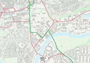
Background imageQueens Road Collection: Nottingham NG2 3 Map

Nottingham NG2 3 Map
Postcode Sector Map of Nottingham NG2 3

Background imageQueens Road Collection: Northumberland NE71 6 Map

Northumberland NE71 6 Map
Postcode Sector Map of Northumberland NE71 6

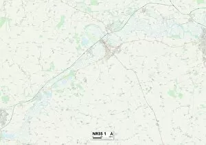
Background imageQueens Road Collection: Suffolk NR35 1 Map

Suffolk NR35 1 Map
Postcode Sector Map of Suffolk NR35 1

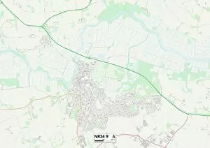
Background imageQueens Road Collection: Suffolk NR34 9 Map

Suffolk NR34 9 Map
Postcode Sector Map of Suffolk NR34 9

Background imageQueens Road Collection: Perth and Kinross PH2 6 Map

Perth and Kinross PH2 6 Map
Postcode Sector Map of Perth and Kinross PH2 6

Background imageQueens Road Collection: West Norfolk PE34 3 Map

West Norfolk PE34 3 Map
Postcode Sector Map of West Norfolk PE34 3

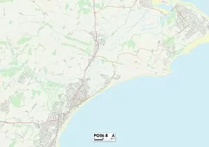
Background imageQueens Road Collection: Isle of Wight PO36 8 Map

Isle of Wight PO36 8 Map
Postcode Sector Map of Isle of Wight PO36 8

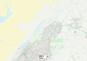
Background imageQueens Road Collection: Sefton PR9 9 Map

Sefton PR9 9 Map
Postcode Sector Map of Sefton PR9 9

Background imageQueens Road Collection: Isle of Wight PO30 1 Map

Isle of Wight PO30 1 Map
Postcode Sector Map of Isle of Wight PO30 1

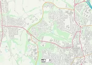
Background imageQueens Road Collection: Chorley PR7 1 Map

Chorley PR7 1 Map
Postcode Sector Map of Chorley PR7 1

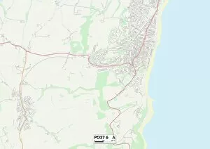
Background imageQueens Road Collection: Isle of Wight PO37 6 Map

Isle of Wight PO37 6 Map
Postcode Sector Map of Isle of Wight PO37 6

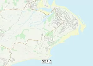
Background imageQueens Road Collection: Isle of Wight PO35 5 Map

Isle of Wight PO35 5 Map
Postcode Sector Map of Isle of Wight PO35 5

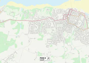
Background imageQueens Road Collection: Isle of Wight PO33 3 Map

Isle of Wight PO33 3 Map
Postcode Sector Map of Isle of Wight PO33 3

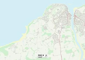
Background imageQueens Road Collection: Isle of Wight PO31 8 Map

Isle of Wight PO31 8 Map
Postcode Sector Map of Isle of Wight PO31 8

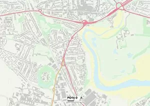
Background imageQueens Road Collection: Hampshire PO16 0 Map

Hampshire PO16 0 Map
Postcode Sector Map of Hampshire PO16 0

Background imageQueens Road Collection: Berkshire RG1 4 Map

Berkshire RG1 4 Map
Postcode Sector Map of Berkshire RG1 4


All Professionally Made to Order for Quick Shipping

Discover the charm and diversity of Queens Road, as it stretches across various locations in the UK. From the historic town of Lewes in BN7 2 to the vibrant streets of Ealing in W5 2, this road takes you on a journey through different landscapes and communities. In Berkshire's RG4 8, immerse yourself in picturesque surroundings while exploring quaint villages along Queens Road. As you venture further south to Hampshire's PO13 9, enjoy coastal views and embrace a laid-back lifestyle near this scenic route. Heading north towards Trafford's M33 6, experience a bustling urban atmosphere with an array of shops and eateries lining Queens Road. Wolverhampton's WV10 7 offers its own unique character with a mix of modern developments and historical landmarks along this dynamic street. Further east lies Redcar & Cleveland's TS13 4, where stunning coastal scenery awaits those who traverse Queens Road. In Hastings' TN34 1, delve into the rich history and cultural heritage that surrounds this iconic road. Shepway's TN28 8 presents charming countryside vistas alongside hidden gems waiting to be discovered by intrepid explorers. Meanwhile, Richmond upon Thames' TW10 6 showcases elegance at every turn as you stroll past beautiful architecture along Queens Road. Merton’s SM4 5 welcomes visitors with its friendly community spirit and diverse range of local businesses found on this lively street. Lastly, Sheffield’s S2 invites you to explore its vibrant neighborhoods filled with art galleries, independent boutiques, and cozy cafes dotted throughout Queens Road. No matter which part of the country you find yourself in or which section captures your attention – each location promises an adventure worth embarking on.