Fraud Blocker Skip to main content

Sciences Collection (page 29)

"Exploring the Wonders of Sciences: From Whole Earth to Beyond" Witness the breathtaking beauty of our planet with the iconic Blue Marble 2000 image

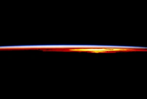
Background imageSciences Collection: The Earths atmosphere at sunrise seen from orbit

The Earths atmosphere at sunrise seen from orbit
Earths atmosphere. Sunrise over the Pacific Ocean, seen from a space shuttle in orbit (mission STS-69). The black area in the lower frame is the Earth in darkness

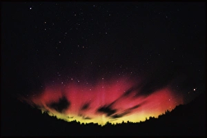
Background imageSciences Collection: A spectacular, colourful aurora borealis display

A spectacular, colourful aurora borealis display
View of a colourful aurora borealis display (northern lights). Aurorae are caused by the interaction between energetic charged particles coming from the Sun

Background imageSciences Collection: Climate change

Climate change. Car half buried by cracked earth, conceptual computer artwork

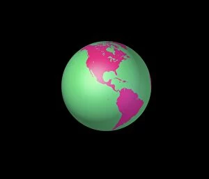
Background imageSciences Collection: Americas, artwork

Americas, artwork
Americas. Computer artwork of the whole Earth centred on the Americas. North is at top with the Atlantic Ocean to the east and the Pacific Ocean to the west

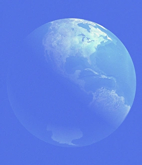
Background imageSciences Collection: Earth

Earth. Computer artwork of the Earth centred on Central America

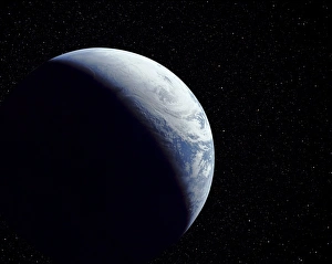
Background imageSciences Collection: Computer-enhanced Apollo 4 view of crescent Earth

Computer-enhanced Apollo 4 view of crescent Earth
Crescent Earth. Computer-enhanced view of the Earth as taken from the Apollo 4 spacecraft, in orbit 17, 960 kilometres above the surface

Background imageSciences Collection: Abu Dhabi, United Arab Emirates

Abu Dhabi, United Arab Emirates, satellite image. North is at top, urban areas are grey, water is blue, shallow coastal waters are light blue and arid areas are pale brown

Background imageSciences Collection: Deforestation in the Amazon

Deforestation in the Amazon. Satellite image of the region around the mouth of the Amazon River (upper left) in northern Brazil. North is at top

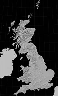
Background imageSciences Collection: Great Britain, relief map

Great Britain, relief map. Highland areas such as the west of Scotland (upper left) and Wales (lower centre) are picked out in light and shadow

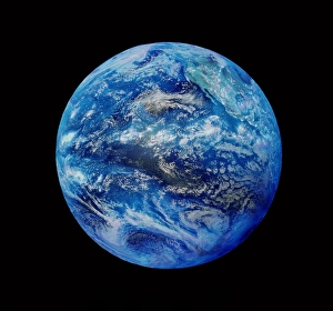
Background imageSciences Collection: Earth centred on the Pacific Ocean

Earth centred on the Pacific Ocean
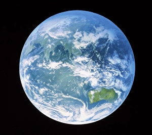
Whole Earth. Satellite image of the whole Earth centred on the Pacific Ocean. At top right is the west coast of North America. Weather systems demarcated by white cloud formations are seen

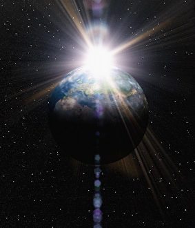
Background imageSciences Collection: Earth

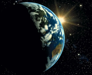
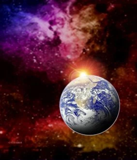
Earth. Computer artwork of the Earth in space with the Sun rising behind it

Background imageSciences Collection: Cuba and Florida from Space Shuttle

Cuba and Florida from Space Shuttle
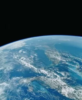
Shuttle photograph of the northern Caribbean Sea including the peninsula of Florida (shown at the top). Cuba appears in the centre foreground

Background imageSciences Collection: Whole earth from Apollo 17

Whole earth from Apollo 17
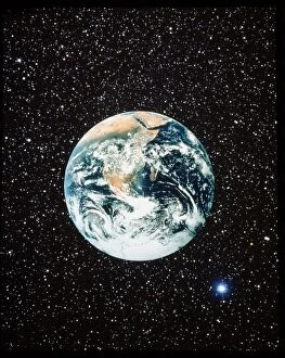
The classic photograph of the whole Earth, taken from the Apollo 17 spacecraft in December 1972. It shows Antarctica, Africa & Arabia

Background imageSciences Collection: Apollo 17 view of the earth

Apollo 17 view of the earth
The classic photograph of the whole Earth, taken from the Apollo 17 spacecraft in December 1972 & showing Antarctica, Africa, & Arabia. The starry background has been added photographically

Background imageSciences Collection: Northern Somalia & Gulf of Aden from space STS-55

Northern Somalia & Gulf of Aden from space STS-55
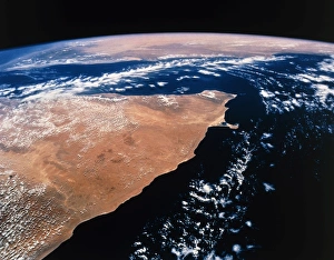
The Horn of Africa. View of northern Somalia and the Gulf of Aden, seen from space. The Somali provinces of Sanaag, Bari and Nugaal are in this image

Background imageSciences Collection: Map of Great Britain

Map of Great Britain and the Republic of Ireland on a blue grid

Background imageSciences Collection: USA, satellite image

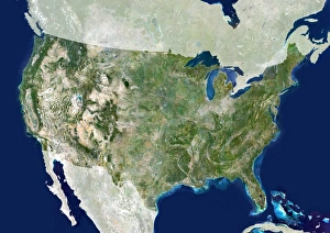
USA, satellite image. North is at top. The USA consists of the lower 48 states (shown). The Pacific islands of Hawaii and Alaska, which is separated from the lower 48 states by Canada

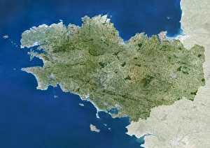
Background imageSciences Collection: Brittany region, France

Brittany region, France, satellite image. North is at top. Vegetation is shown in green, water in blue, and urban areas in grey

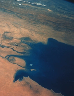
Background imageSciences Collection: Shuttle photograph of Kuwait, Iraq & Iran

Shuttle photograph of Kuwait, Iraq & Iran
Shuttle photograph showing the north Persian Gulf on December 4th 1988, taken from the earth- orbiting Atlantis during mission STS-27. Kuwait can be seen above the centre of the frame

Background imageSciences Collection: Brazil, satellite image

Brazil, satellite image. North is at top. Brazil is the largest country in South America. It shares borders with every country in South America with the exception of Chile and Ecuador

Background imageSciences Collection: Caribbean, satellite image

Caribbean, satellite image. North is at top. The Caribbean comprises over 7000 islands in the Caribbean Sea between the Gulf of Mexico and the USA to the north

Background imageSciences Collection: Computer artwork of Europe

Computer artwork of Europe
Europe. Computer artwork of Europe (upper centre). Europe is separated from Africa (bottom centre) by the Mediterranean Sea. The Middle East region is at centre right

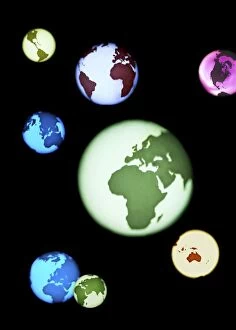
Background imageSciences Collection: Earth globes, composite artwork

Earth globes, composite artwork
Earth globes. Composite artwork of Earth globes in different colours. The continents shown include Europe, Africa, Australia, Asia and the Americas
Background imageSciences Collection: Drought in Australia, conceptual image

Drought in Australia, conceptual image
Drought in Australia. Conceptual computer artwork of mainland Australia with the land mass depicted as cracked earth, representing drought caused by climate change
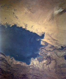
Background imageSciences Collection: Apollo 7 photograph of Kuwait, Iraq & Iran

Apollo 7 photograph of Kuwait, Iraq & Iran
Apollo 7 photograph showing the northern end of the Persian Gulf. Taken on October 14th 1968 from an altitude of 226 kilometres, it includes areas of Kuwait (lower left), Iraq (left) and Iran (top)

Background imageSciences Collection: True-colour satellite image of southern Scotland

True-colour satellite image of southern Scotland
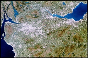
Southern Scotland. True-colour satellite image of southern Scotland, including the cities of Glasgow (at centre left) and Edinburgh (at right). North is at top

Background imageSciences Collection: China, satellite image

China, satellite image. North is at top. Green areas are vegetated, brown are desert and white are snow-covered. China is the worlds most populous country

Background imageSciences Collection: Earth centred on Australasia

Earth centred on Australasia
Australasia. Combined visible and infrared satellite image of Australasia taken by the Chinese FY-2 satellite. This geostationary weather satellite was launched by China on 10th June 1997

Background imageSciences Collection: Earth

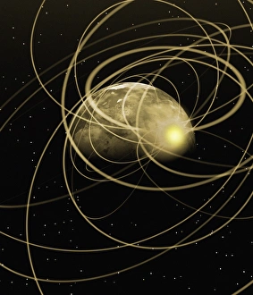
Earth. Conceptual computer artwork of the Earth with swirls of gold light

Background imageSciences Collection: Earth

Earth rise over water. Abstract computer image of the Earth seen on a starfield, appearing to rise over a foreground of rippled water

Background imageSciences Collection: Computer art of the Earth (Mercator projection)

Computer art of the Earth (Mercator projection)
Earth. Computer illustration of the Earth in flat projection, centred on Europe and Africa. This is a Mercator cylindrical projection

Background imageSciences Collection: Part of a map of Europe

Part of a map of Europe
Europe. Part of a map of Europe. North is towards the top right. The map shows the political divisions of the land

Background imageSciences Collection: Tropical belt expansion, artwork

Tropical belt expansion, artwork
Tropical belt expansion. Computer artwork of a map of the Earth representing the expansion of the tropical belt (red area) due to climate change

Background imageSciences Collection: Computer artwork of sunrise over the Earth

Computer artwork of sunrise over the Earth
Sunrise. Computer artwork of sunrise over the Earth seen from space. The Sun is illuminating Australasia

Background imageSciences Collection: Globe spinning on a finger

Globe spinning on a finger
MODEL RELEASED. Globe spinning on a finger. Conceptual image of the Earth spinning on a finger

Background imageSciences Collection: Satellite image of southwest Wales

Satellite image of southwest Wales
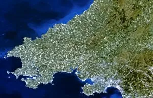
Southwest Wales. Satellite image of Southwest Wales, Great Britain. The colours here approximate to natural tones. North is at top. The city of Swansea (grey) is at lower right

Background imageSciences Collection: GOES satellite image of South America

GOES satellite image of South America
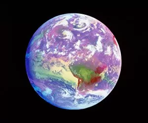
South America. Coloured combined visible and infrared GOES satellite image of South America and storms in the Atlantic Ocean. The continent of South America is seen at lower centre

Background imageSciences Collection: Sunrise

Sunrise. Computer artwork of the Earth in space, with the Sun emerging from behind it

Background imageSciences Collection: Abstract artwork of Earth arranged as an atom

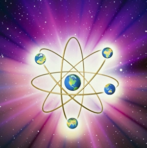
Abstract artwork of Earth arranged as an atom

Background imageSciences Collection: GOES satellite image of Earth showing day / night

GOES satellite image of Earth showing day / night
GOES satellite image of Earth showing day/night

Background imageSciences Collection: Computer artwork of sunrise over crescent Earth

Computer artwork of sunrise over crescent Earth
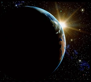
Sunrise. Computer artwork of sunrise over the Earth seen from space. Only a crescent of the Earth is illuminated by the Sun

Background imageSciences Collection: Red Sea from space

Red Sea from space
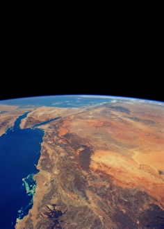
Arabian Peninsula (right) and the Red Sea (left) from space. At centre left, between two fingers of the Red Sea, is the Sinai Peninsula, part of Egypt

Background imageSciences Collection: Australasia and south-eastern Asia

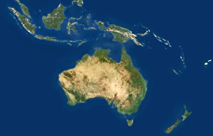
Australasia and south-eastern Asia. Coloured satellite image of south-eastern Asia and Australasia. North is at top. Vegetation is green, bare earth is brown and water is blue

Background imageSciences Collection: Essex, UK, satellite image

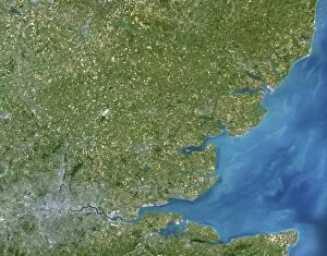
Essex, UK, satellite image. The county of Essex lies to the north east of London (grey area, bottom left) and is one of the key commuter belts of the capital

Background imageSciences Collection: Chile and Argentina, satellite image

Chile and Argentina, satellite image. North is at top. Chile is a long country which occupies the strip of land between the Pacific coast and the Andes mountains in the west of South America

Background imageSciences Collection: True colour satellite image of northwest Wales

True colour satellite image of northwest Wales
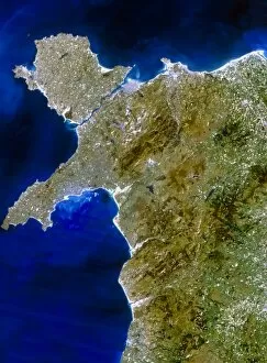
Wales. True-colour satellite image of northwest Wales, Great Britain. North is at top. The city of Bangor is on the coast at upper centre, but the rest of the region is largely rural

Background imageSciences Collection: Earth

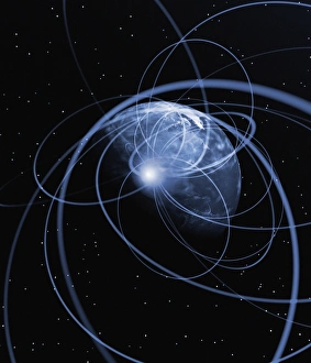
Earth. Conceptual computer artwork of the Earth surrounded by swirls of blue light

Background imageSciences Collection: True-colour satellite image of northern England

True-colour satellite image of northern England
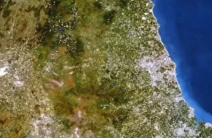
Northern England. True-colour satellite image of northern England, showing the counties of Cumbria (at left), Northumberland (at upper right) and Durham (at lower right). North is at top


All Professionally Made to Order for Quick Shipping

"Exploring the Wonders of Sciences: From Whole Earth to Beyond" Witness the breathtaking beauty of our planet with the iconic Blue Marble 2000 image, capturing the entirety of Earth in one mesmerizing view. Apollo 17's photograph of our whole earth from space reminds us of humanity's small yet significant place in the vastness of the universe. Discover a bird's-eye perspective with a satellite image showcasing the stunning British Isles, highlighting their unique geographical features and natural splendor. Unveil ancient wisdom through The Emerald Tablet, also known as Smaragdine Table or Tabula Smaragdina, an enigmatic text that holds secrets about alchemy and metaphysics. Journey back in time with Durer's world map from 1515, marveling at how early cartographers envisioned our planet before modern scientific advancements. Explore Science Allegorised, where art meets knowledge as intricate illustrations depict various branches of science and their interconnectedness. Experience awe-inspiring moments like never before with Earthrise - a captivating sight witnessed by astronauts above the moon's surface that forever changed our perception of home. Immerse yourself in history through a 16th-century plan of Florence, offering insights into both urban development and scientific progress during Renaissance times. Illuminate your nightscape curiosity with a satellite image revealing North America glowing under city lights – showcasing human activity across this vast continent after sunset. Travel through time and geography with a meticulously detailed 17th-century map depicting Europe’s diverse regions while reflecting evolving political boundaries and cultural identities. Dive into nature's wonders as you explore northwest Scotland through a true-color satellite image – unveiling its rugged landscapes, pristine lochs, and untamed beauty from above. Study topography like never before using an intricately crafted relief map showcasing United Kingdom and Eire – a tangible representation of the land's elevations and features.