Fraud Blocker Skip to main content

Scott Close Collection

"Exploring the picturesque landscapes of Scott Close

Background imageScott Close Collection: Berkshire RG4 8 Map

Berkshire RG4 8 Map
Postcode Sector Map of Berkshire RG4 8

Background imageScott Close Collection: Bassetlaw S81 0 Map

Bassetlaw S81 0 Map
Postcode Sector Map of Bassetlaw S81 0

Background imageScott Close Collection: Somerset TA2 6 Map

Somerset TA2 6 Map
Postcode Sector Map of Somerset TA2 6

Background imageScott Close Collection: Newport NP20 3 Map

Newport NP20 3 Map
Postcode Sector Map of Newport NP20 3

Background imageScott Close Collection: Harborough LE16 7 Map

Harborough LE16 7 Map
Postcode Sector Map of Harborough LE16 7

Background imageScott Close Collection: Leeds LS26 8 Map

Leeds LS26 8 Map
Postcode Sector Map of Leeds LS26 8

Background imageScott Close Collection: Lambeth SW16 5 Map

Lambeth SW16 5 Map
Postcode Sector Map of Lambeth SW16 5

Background imageScott Close Collection: Swindon SN26 8 Map

Swindon SN26 8 Map
Postcode Sector Map of Swindon SN26 8

Background imageScott Close Collection: Test Valley SO20 6 Map

Test Valley SO20 6 Map
Postcode Sector Map of Test Valley SO20 6

Background imageScott Close Collection: Cheshire East SK10 1 Map

Cheshire East SK10 1 Map
Postcode Sector Map of Cheshire East SK10 1

Background imageScott Close Collection: South Buckinghamshire SL2 3 Map

South Buckinghamshire SL2 3 Map
Postcode Sector Map of South Buckinghamshire SL2 3

Background imageScott Close Collection: North Hertfordshire SG8 5 Map

North Hertfordshire SG8 5 Map
Postcode Sector Map of North Hertfordshire SG8 5

Background imageScott Close Collection: Kennet SN8 3 Map

Kennet SN8 3 Map
Postcode Sector Map of Kennet SN8 3

Background imageScott Close Collection: Lichfield WS14 9 Map

Lichfield WS14 9 Map
Postcode Sector Map of Lichfield WS14 9

Background imageScott Close Collection: Rotherham S66 9 Map

Rotherham S66 9 Map
Postcode Sector Map of Rotherham S66 9

Background imageScott Close Collection: Hillingdon UB7 9 Map

Hillingdon UB7 9 Map
Postcode Sector Map of Hillingdon UB7 9

Background imageScott Close Collection: Staffordshire ST7 3 Map

Staffordshire ST7 3 Map
Postcode Sector Map of Staffordshire ST7 3

Background imageScott Close Collection: Telford and Wrekin TF7 4 Map

Telford and Wrekin TF7 4 Map
Postcode Sector Map of Telford and Wrekin TF7 4

Background imageScott Close Collection: Chesterfield S42 5 Map

Chesterfield S42 5 Map
Postcode Sector Map of Chesterfield S42 5

Background imageScott Close Collection: Test Valley SP10 5 Map

Test Valley SP10 5 Map
Postcode Sector Map of Test Valley SP10 5

Background imageScott Close Collection: Cherwell OX26 2 Map

Cherwell OX26 2 Map
Postcode Sector Map of Cherwell OX26 2

Background imageScott Close Collection: Cornwall PL14 5 Map

Cornwall PL14 5 Map
Postcode Sector Map of Cornwall PL14 5

Background imageScott Close Collection: Stockport SK5 7 Map

Stockport SK5 7 Map
Postcode Sector Map of Stockport SK5 7

Background imageScott Close Collection: Cherwell OX5 1 Map

Cherwell OX5 1 Map
Postcode Sector Map of Cherwell OX5 1

Background imageScott Close Collection: Peterborough PE2 8 Map

Peterborough PE2 8 Map
Postcode Sector Map of Peterborough PE2 8

Background imageScott Close Collection: Sussex PO21 1 Map

Sussex PO21 1 Map
Postcode Sector Map of Sussex PO21 1

Background imageScott Close Collection: Wokingham RG5 4 Map

Wokingham RG5 4 Map
Postcode Sector Map of Wokingham RG5 4

Background imageScott Close Collection: Hampshire PO14 2 Map

Hampshire PO14 2 Map
Postcode Sector Map of Hampshire PO14 2

Background imageScott Close Collection: Norfolk NR13 6 Map

Norfolk NR13 6 Map
Postcode Sector Map of Norfolk NR13 6

Background imageScott Close Collection: Nottingham NG6 7 Map

Nottingham NG6 7 Map
Postcode Sector Map of Nottingham NG6 7

Background imageScott Close Collection: Daventry NN6 8 Map

Daventry NN6 8 Map
Postcode Sector Map of Daventry NN6 8

Background imageScott Close Collection: Northampton NN5 4 Map

Northampton NN5 4 Map
Postcode Sector Map of Northampton NN5 4

Background imageScott Close Collection: Daventry NN11 0 Map

Daventry NN11 0 Map
Postcode Sector Map of Daventry NN11 0

Background imageScott Close Collection: Rutland LE15 9 Map

Rutland LE15 9 Map
Postcode Sector Map of Rutland LE15 9

Background imageScott Close Collection: Tonbridge and Malling ME20 6 Map

Tonbridge and Malling ME20 6 Map
Postcode Sector Map of Tonbridge and Malling ME20 6

Background imageScott Close Collection: Northumberland NE65 7 Map

Northumberland NE65 7 Map
Postcode Sector Map of Northumberland NE65 7

Background imageScott Close Collection: Northumberland NE46 2 Map

Northumberland NE46 2 Map
Postcode Sector Map of Northumberland NE46 2

Background imageScott Close Collection: Newark and Sherwood NG23 5 Map

Newark and Sherwood NG23 5 Map
Postcode Sector Map of Newark and Sherwood NG23 5

Background imageScott Close Collection: Leicester LE67 4 Map

Leicester LE67 4 Map
Postcode Sector Map of Leicester LE67 4

Background imageScott Close Collection: Liverpool L4 4 Map

Liverpool L4 4 Map
Postcode Sector Map of Liverpool L4 4

Background imageScott Close Collection: Epsom and Ewell KT19 9 Map

Epsom and Ewell KT19 9 Map
Postcode Sector Map of Epsom and Ewell KT19 9

Background imageScott Close Collection: Sefton L31 6 Map

Sefton L31 6 Map
Postcode Sector Map of Sefton L31 6

Background imageScott Close Collection: Highland IV15 9 Map

Highland IV15 9 Map
Postcode Sector Map of Highland IV15 9

Background imageScott Close Collection: Breckland IP24 1 Map

Breckland IP24 1 Map
Postcode Sector Map of Breckland IP24 1

Background imageScott Close Collection: Blackpool FY4 4 Map

Blackpool FY4 4 Map
Postcode Sector Map of Blackpool FY4 4

Background imageScott Close Collection: Guildford GU2 9 Map

Guildford GU2 9 Map
Postcode Sector Map of Guildford GU2 9

Background imageScott Close Collection: North East Lincolnshire DN37 9 Map

North East Lincolnshire DN37 9 Map
Postcode Sector Map of North East Lincolnshire DN37 9

Background imageScott Close Collection: Cheshire East CW11 3 Map

Cheshire East CW11 3 Map
Postcode Sector Map of Cheshire East CW11 3


All Professionally Made to Order for Quick Shipping

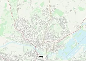
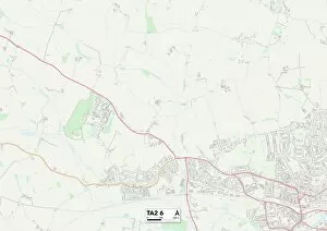
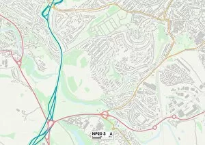
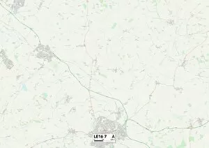
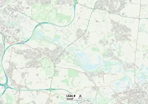
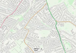
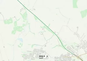
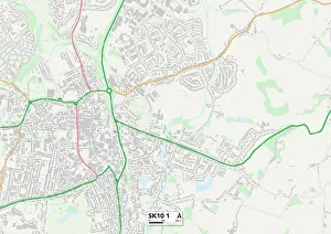
"Exploring the picturesque landscapes of Scott Close, from Berkshire RG4 8 to Bassetlaw S81 0 and Somerset TA2 Discover hidden gems in Newport NP20 3 and Harborough LE16 7, or soak up the vibrant atmosphere of Leeds LS26 8 and Lambeth SW16 Take a leisurely stroll through Swindon SN26 8 or Test Valley SO20 6, immersing yourself in nature's beauty. Admire the charming architecture of Cheshire East SK10 1 and South Buckinghamshire SL2 3, while North Hertfordshire SG8 invites you to explore its rich history. Embark on an adventure through Scott Close's diverse locations on these captivating maps. "