
Sectors Collection
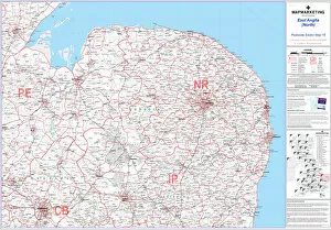
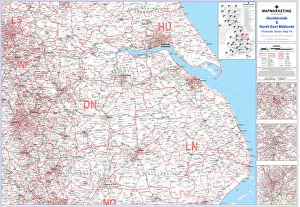
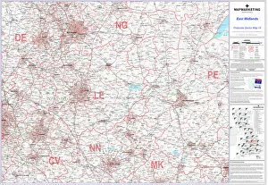
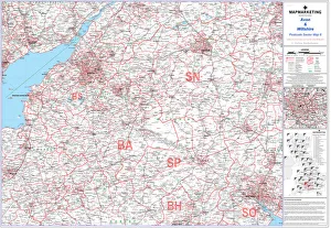
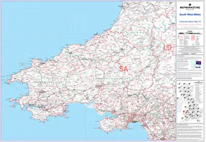
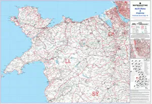
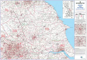
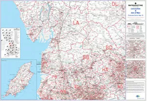
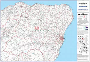
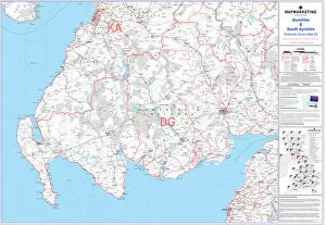
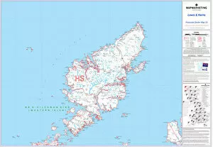
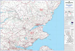
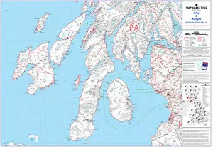
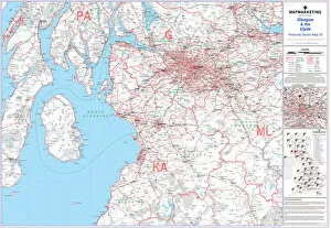
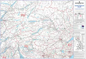
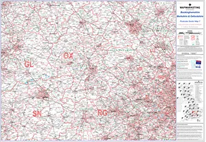
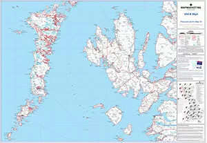
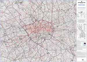
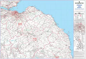
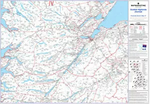
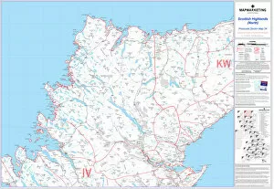
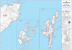
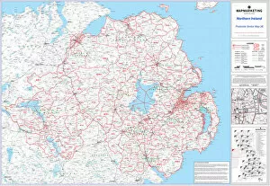
Sectors play a crucial role in organizing and categorizing various regions, as depicted on the Postcode Sector Map sheets


All Professionally Made to Order for Quick Shipping
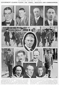
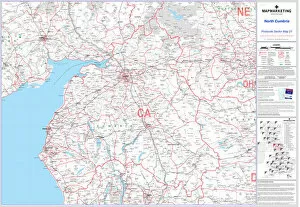
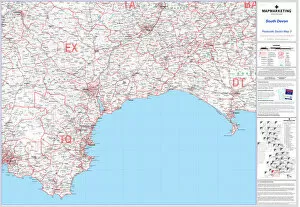
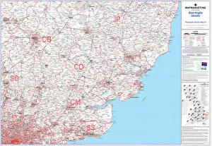
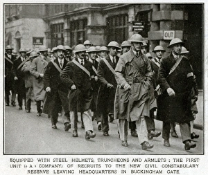
Sectors play a crucial role in organizing and categorizing various regions, as depicted on the Postcode Sector Map sheets. From East Anglia (North) to Humberside and North East Midlands, from North Devon to East Midlands, from Avon and Wiltshire to Mull and Tiree, these sectors help us navigate through different areas with ease. In times of historical significance like The General Strike or during government leaders' decision-making processes, sectors become even more relevant. They serve as markers for understanding the impact of such events on specific regions. Whether it's sheet 27 showcasing Mull and Tiree or sheet 21 highlighting North Cumbria, these maps provide valuable insights into how different areas were affected by significant moments in history. Moreover, it also aid in identifying unique characteristics of certain locations. For instance, sheet 3 reveals South Devon's distinctive qualities while sheet 9 sheds light on East Anglia (South)'s particularities. These maps allow us to appreciate the diversity within a larger region by breaking it down into smaller sections. Postcode Sector Map sheets are not limited to mainland territories; they extend their reach even further. Sheet 10 takes us to South West Wales while sheet 16 explores North Wales and Anglesey. These maps enable us to understand the geographical nuances that define each area within a country.