
Severe Storm Collection
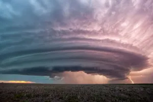
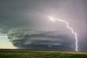
"Nature's Fury Unleashed: Witness the Power of Severe Storms" A Supercell Thunderstorm Engulfs Kansas


All Professionally Made to Order for Quick Shipping
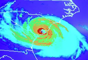
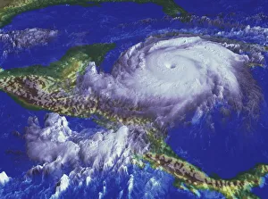
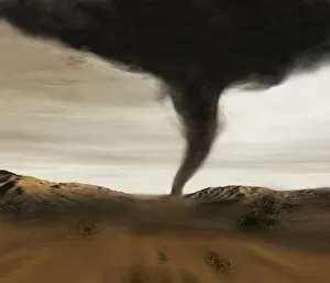
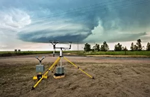
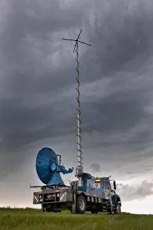
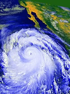
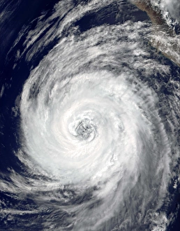
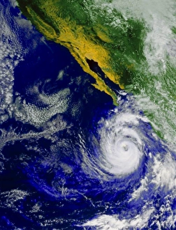
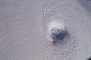
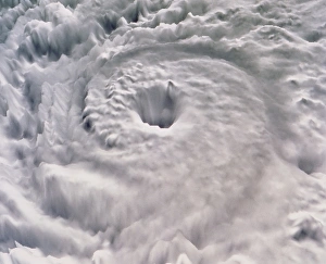
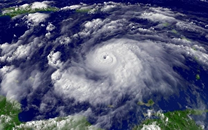
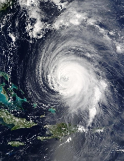
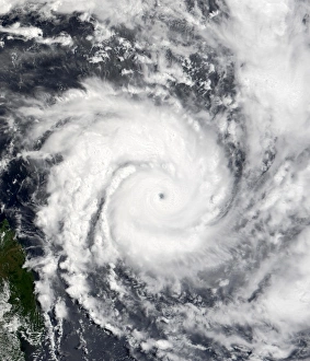
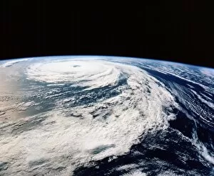
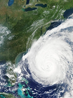
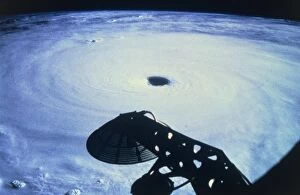
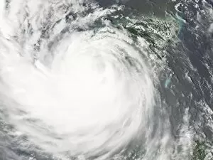
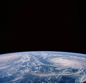
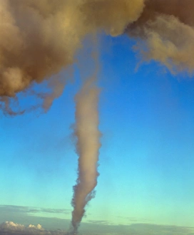
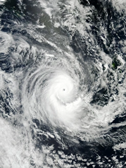
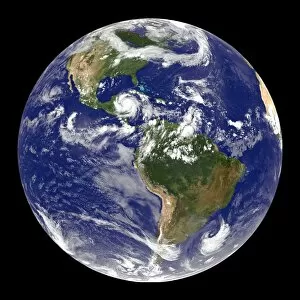
"Nature's Fury Unleashed: Witness the Power of Severe Storms" A Supercell Thunderstorm Engulfs Kansas, USA C017 / 8422: Brace yourself for a breathtaking display of nature's might as this colossal storm system takes over the skies. Coloured Satellite Image of Hurricane Hugo: Behold the swirling vortex of destruction as Hurricane Hugo wreaks havoc on its path, leaving a trail of devastation in its wake. Hurricane Mitch - Nature's Wrath Unleashed: This powerful hurricane demonstrates the sheer force and intensity that Mother Nature can unleash upon us, reminding us to always respect her power. Coloured Satellite Image of Hurricane Linda: Marvel at the mesmerizing beauty and terrifying strength captured in this satellite image, showcasing Hurricane Linda at its peak intensity. Lightning Strikes from a Supercell Thunderstorm: Feel your heart race as bolts of lightning illuminate the darkened sky during an electrifying supercell thunderstorm – a true spectacle to behold. Thundercloud Forming Over Wheat Field: Watch in awe as towering thunderclouds take shape above vast wheat fields, heralding an imminent onslaught from nature's wrathful forces. Pop N Drop - The Dance of Destruction Begins: Witness the birth pangs of chaos as ominous clouds gather momentum before unleashing their fury with torrential rain, fierce winds, and relentless lightning strikes. Mammatus Lit Up by Lightning Crosses Highway: A surreal scene unfolds before your eyes as eerie mammatus clouds are illuminated by dazzling streaks of lightning while crossing a desolate highway. Severe Thunderstorm Developing Over Country Road: Experience the raw energy building up within an approaching severe thunderstorm – watch out for pounding raindrops and deafening claps of thunder. Computer Illustration Reveals Tornado Terror.