Fraud Blocker Skip to main content

Woodfield Close Collection

Discover the charm of Woodfield Close, a hidden gem nestled in various locations across the UK

Background imageWoodfield Close Collection: Barnsley S73 9 Map

Barnsley S73 9 Map
Postcode Sector Map of Barnsley S73 9

Background imageWoodfield Close Collection: Sussex PO20 2 Map

Sussex PO20 2 Map
Postcode Sector Map of Sussex PO20 2

Background imageWoodfield Close Collection: Blackburn with Darwen BB2 2 Map

Blackburn with Darwen BB2 2 Map
Postcode Sector Map of Blackburn with Darwen BB2 2

Background imageWoodfield Close Collection: Croydon SE19 3 Map

Croydon SE19 3 Map
Postcode Sector Map of Croydon SE19 3

Background imageWoodfield Close Collection: High Peak SK13 1 Map

High Peak SK13 1 Map
Postcode Sector Map of High Peak SK13 1

Background imageWoodfield Close Collection: Walsall WS5 3 Map

Walsall WS5 3 Map
Postcode Sector Map of Walsall WS5 3

Background imageWoodfield Close Collection: Cannock Chase WS11 9 Map

Cannock Chase WS11 9 Map
Postcode Sector Map of Cannock Chase WS11 9

Background imageWoodfield Close Collection: West Berkshire RG20 0 Map

West Berkshire RG20 0 Map
Postcode Sector Map of West Berkshire RG20 0

Background imageWoodfield Close Collection: Somerset TA8 1 Map

Somerset TA8 1 Map
Postcode Sector Map of Somerset TA8 1

Background imageWoodfield Close Collection: Reigate and Banstead RH1 2 Map

Reigate and Banstead RH1 2 Map
Postcode Sector Map of Reigate and Banstead RH1 2

Background imageWoodfield Close Collection: Preston PR1 0 Map

Preston PR1 0 Map
Postcode Sector Map of Preston PR1 0

Background imageWoodfield Close Collection: South Holland PE11 2 Map

South Holland PE11 2 Map
Postcode Sector Map of South Holland PE11 2

Background imageWoodfield Close Collection: Suffolk NR34 8 Map

Suffolk NR34 8 Map
Postcode Sector Map of Suffolk NR34 8

Background imageWoodfield Close Collection: Sussex PO21 4 Map

Sussex PO21 4 Map
Postcode Sector Map of Sussex PO21 4

Background imageWoodfield Close Collection: Crawley RH10 8 Map

Crawley RH10 8 Map
Postcode Sector Map of Crawley RH10 8

Background imageWoodfield Close Collection: Oldham OL8 4 Map

Oldham OL8 4 Map
Postcode Sector Map of Oldham OL8 4

Background imageWoodfield Close Collection: Leicester LE19 3 Map

Leicester LE19 3 Map
Postcode Sector Map of Leicester LE19 3

Background imageWoodfield Close Collection: Lincoln LN6 0 Map

Lincoln LN6 0 Map
Postcode Sector Map of Lincoln LN6 0

Background imageWoodfield Close Collection: Mole Valley KT21 2 Map

Mole Valley KT21 2 Map
Postcode Sector Map of Mole Valley KT21 2

Background imageWoodfield Close Collection: Hereford HR2 9 Map

Hereford HR2 9 Map
Postcode Sector Map of Hereford HR2 9

Background imageWoodfield Close Collection: Harrogate HG1 4 Map

Harrogate HG1 4 Map
Postcode Sector Map of Harrogate HG1 4

Background imageWoodfield Close Collection: Exeter EX8 4 Map

Exeter EX8 4 Map
Postcode Sector Map of Exeter EX8 4

Background imageWoodfield Close Collection: Enfield EN1 1 Map

Enfield EN1 1 Map
Postcode Sector Map of Enfield EN1 1

Background imageWoodfield Close Collection: North East Lincolnshire DN36 4 Map

North East Lincolnshire DN36 4 Map
Postcode Sector Map of North East Lincolnshire DN36 4

Background imageWoodfield Close Collection: Tendring CO14 8 Map

Tendring CO14 8 Map
Postcode Sector Map of Tendring CO14 8

Background imageWoodfield Close Collection: Croydon CR5 3 Map

Croydon CR5 3 Map
Postcode Sector Map of Croydon CR5 3

Background imageWoodfield Close Collection: Cardiff CF3 2 Map

Cardiff CF3 2 Map
Postcode Sector Map of Cardiff CF3 2

Background imageWoodfield Close Collection: Uttlesford CM24 8 Map

Uttlesford CM24 8 Map
Postcode Sector Map of Uttlesford CM24 8

Background imageWoodfield Close Collection: Folkestone CT19 4 Map

Folkestone CT19 4 Map
Postcode Sector Map of Folkestone CT19 4

Background imageWoodfield Close Collection: Flintshire CH5 4 Map

Flintshire CH5 4 Map
Postcode Sector Map of Flintshire CH5 4

Background imageWoodfield Close Collection: Cheshire West and Chester CH4 0 Map

Cheshire West and Chester CH4 0 Map
Postcode Sector Map of Cheshire West and Chester CH4 0

Background imageWoodfield Close Collection: Bradford BD10 9 Map

Bradford BD10 9 Map
Postcode Sector Map of Bradford BD10 9

Background imageWoodfield Close Collection: Redditch B98 8 Map

Redditch B98 8 Map
Postcode Sector Map of Redditch B98 8

Background imageWoodfield Close Collection: Birmingham B74 2 Map

Birmingham B74 2 Map
Postcode Sector Map of Birmingham B74 2


All Professionally Made to Order for Quick Shipping

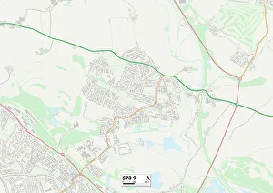
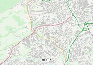
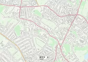
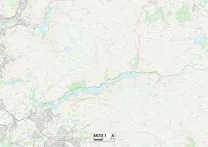
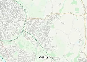
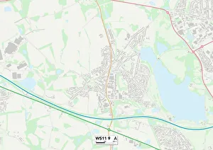
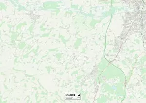
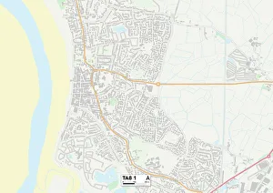
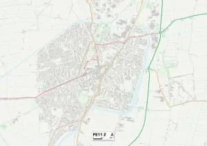
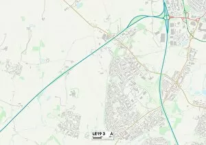
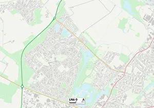
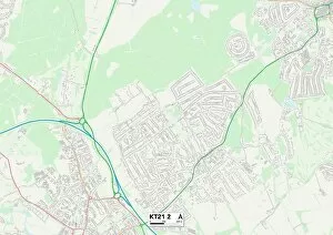
Discover the charm of Woodfield Close, a hidden gem nestled in various locations across the UK. From Barnsley to Blackburn with Darwen, Croydon to High Peak, this quaint neighborhood offers something for everyone. With its picturesque surroundings and convenient access to amenities, residents enjoy the best of both worlds. In Barnsley S73 9 Map, you'll find a peaceful retreat away from the hustle and bustle of city life. The tranquil atmosphere is perfect for those seeking solace amidst nature's beauty. Meanwhile, Blackburn with Darwen BB2 2 Map boasts a vibrant community spirit where neighbors become friends and every day feels like a celebration. Croydon SE19 3 Map offers an ideal location for families looking for excellent schools and recreational facilities nearby. Here, children can thrive while parents indulge in the many shopping and dining options available within easy reach. Similarly, High Peak SK13 1 Map provides stunning views of rolling hills and valleys that will take your breath away. Walsall WS5 3 Map presents an opportunity to experience suburban living at its finest. Immerse yourself in a close-knit community that values tradition while embracing modernity. Cannock Chase WS11 9 Map takes pride in its rich history and natural wonders such as ancient woodlands and wildlife reserves. For those craving rural tranquility combined with accessibility to urban conveniences, West Berkshire RG20 0 Map is the place to be. Somerset TA8 1 Map invites you into a world filled with charming cottages surrounded by idyllic countryside landscapes. Reigate and Banstead RH1 2 Map offer residents an escape from city life without compromising on convenience or connectivity. Preston PR1 0 map combines historical architecture with contemporary amenities creating an enchanting blend of old-world charm meets modern-day comfort. South Holland PE11 2 map showcases beautiful gardens blooming all year round alongside a thriving arts and culture scene.