Greetings Card > North America > United States of America > California > Los Angeles
Greetings Card : Los Angeles City Map


![]()
Cards from Map Marketing
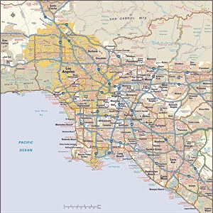
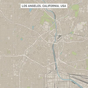
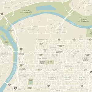
Los Angeles City Map
A street level map of central Los Angeles based on USGS topo map data. Covers from Atwater in the north to Clement Junction in the south and from Eastmont in the east to Hancock Park in the west
Media ID 19949669
© Map Marketing Ltd, Map Data courtesy of USGS
Greetings Card (7"x5")
Folded Greeting Cards (12.5x17.5 cm) have a laminate finish and are supplied with an envelope. The front and inside can be personalised with text in a selection of fonts, layouts and colours.
Greetings Cards suitable for Birthdays, Weddings, Anniversaries, Graduations, Thank You and much more
Estimated Product Size is 12.5cm x 17.5cm (4.9" x 6.9")
These are individually made so all sizes are approximate
Artwork printed orientated as per the preview above, with landscape (horizontal) or portrait (vertical) orientation to match the source image.
FEATURES IN THESE COLLECTIONS
> Animals
> Mammals
> Cricetidae
> California Mouse
> Maps and Charts
> Related Images
> North America
> United States of America
> California
> Los Angeles
MADE IN AUSTRALIA
Safe Shipping with 30 Day Money Back Guarantee
FREE PERSONALISATION*
We are proud to offer a range of customisation features including Personalised Captions, Color Filters and Picture Zoom Tools
SECURE PAYMENTS
We happily accept a wide range of payment options so you can pay for the things you need in the way that is most convenient for you
* Options may vary by product and licensing agreement. Zoomed Pictures can be adjusted in the Cart.