Home > Europe > United Kingdom > England > Birmingham > Area > Handsworth
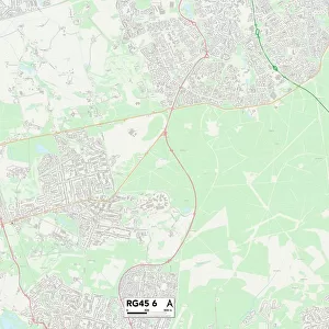
Birmingham B21 0 Map

![]()
Wall Art and Photo Gifts from Map Marketing
Birmingham B21 0 Map
Postcode Sector Map of Birmingham B21 0
Media ID 19965341
Alexandra Avenue Alexandra Road Belmont Road Birmingham Booth Street Boulton Road Brewery Street Chapel Street Clarence Avenue Clarence Road Conifer Drive Cross Street Florence Road Foxglove Way George Street Grasmere Road Green Lane Junction Road Malvern Road Mary Road Milton Grove Mount Road Raglan Road Reynolds Road Scholars Close St James Road Station Road Sycamore Road Victoria Road Watt Street Woodland Road St Michaels Hill
FEATURES IN THESE COLLECTIONS
> Arts
> Portraits
> Pop art gallery
> Street art portraits
> Europe
> United Kingdom
> England
> Birmingham
> Area
> Handsworth
> Europe
> United Kingdom
> England
> London
> Sights
> St James Park
> Europe
> United Kingdom
> England
> London
> Sights
> Victoria Park
> Europe
> United Kingdom
> Wales
> Anglesey
> Holyhead
> Europe
> United Kingdom
> Wales
> Gwynedd
> Holyhead
> Historic
> Famous inventors and scientists
> James Watt
> Map Marketing
> Postcode Sector Maps
> B - Birmingham
> Maps and Charts
> Related Images
MADE IN AUSTRALIA
Safe Shipping with 30 Day Money Back Guarantee
FREE PERSONALISATION*
We are proud to offer a range of customisation features including Personalised Captions, Color Filters and Picture Zoom Tools
SECURE PAYMENTS
We happily accept a wide range of payment options so you can pay for the things you need in the way that is most convenient for you
* Options may vary by product and licensing agreement. Zoomed Pictures can be adjusted in the Cart.