Home > Europe > United Kingdom > England > Birmingham > Area > Browns Green
Coventry CV5 9 Map

![]()
Wall Art and Photo Gifts from Map Marketing
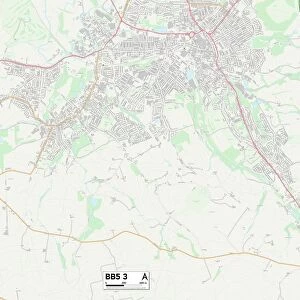
Coventry CV5 9 Map
Postcode Sector Map of Coventry CV5 9
Media ID 19968085
Albert Road Anglesey Close Barnfield Avenue Birmingham Road Browns Lane Burton Close Butchers Lane Butt Lane Cameron Close Cartmel Close Chalfont Close Chapel Gardens Cheriton Close Church Walk Clay Lane Coventry Evergreen Close Fenton Road Freshfield Close Grace Road Halifax Close Harvest Hill Harvey Close Kendal Rise Mackenzie Close Marlow Close Milford Close Oak Lane Rectory Close Rectory Lane Ripon Close Rydal Close Rye Hill Scafell Close South Ridge Streamside Close The Triangle Torbay Road Winslow Close Woodburn Close Worcester Close Denham Avenue Pickford The Chilterns West Ridge
FEATURES IN THESE COLLECTIONS
> Map Marketing
> Postcode Sector Maps
> CV - Coventry
> Arts
> Artists
> S
> James Sayers
> Arts
> Artists
> W
> James Wood
> Europe
> United Kingdom
> England
> Birmingham
> Area
> Browns Green
> Europe
> United Kingdom
> England
> Birmingham
> Area
> Hall Green
> Europe
> United Kingdom
> England
> Birmingham
> Area
> Hill Wood
> Europe
> United Kingdom
> England
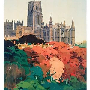
> Durham
> Durham
> Europe
> United Kingdom
> England
> Durham
> Hill End
> Europe
> United Kingdom
> England
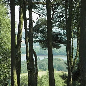
> London
> Sights
> St James Park
> Europe
> United Kingdom
> Northern Ireland
> Antrim
MADE IN AUSTRALIA
Safe Shipping with 30 Day Money Back Guarantee
FREE PERSONALISATION*
We are proud to offer a range of customisation features including Personalised Captions, Color Filters and Picture Zoom Tools
SECURE PAYMENTS
We happily accept a wide range of payment options so you can pay for the things you need in the way that is most convenient for you
* Options may vary by product and licensing agreement. Zoomed Pictures can be adjusted in the Cart.