Home > Europe > United Kingdom > Wales > Ceredigion > New Quay
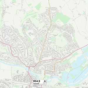
South Buckinghamshire UB9 6 Map

![]()
Wall Art and Photo Gifts from Map Marketing
South Buckinghamshire UB9 6 Map
Postcode Sector Map of South Buckinghamshire UB9 6
Media ID 19980122
Adrian Close Anderson Close Ash Close Ash Grove Bankside Close Barrington Drive Broadwater Lane Canal Way Chapel Row Church Hill Church Road Countess Close Dovedale Close Dunster Close Fallowfield Close Gilbert Road Hall Drive Hambleton Close Harefield Heron Place High Street Hillside Jacks Lane Lewis Close Leys Close Manor Court Mount Pleasant New Park Road Northwood Road Park Lane Plough Lane Pond Close Priory Avenue Priory Close Priory Gardens Rickmansworth Road Roman Close Sanctuary Close South Buckinghamshire Spring Close Springwell Lane Springwood Close St Annes Road St Marys Close St Marys Road Summerhouse Lane The Furrows Vernon Drive Waterside Mews Wickham Close Hill End
FEATURES IN THESE COLLECTIONS
> Map Marketing
> Postcode Sector Maps
> UB - Uxbridge
> Animals
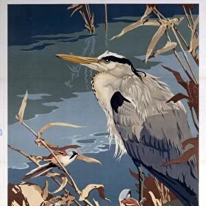
> Birds
> Herons
> Green Heron
> Animals
> Birds
> Herons
> Related Images
> Animals
> Mammals
> Bovidae
> Goral
> Arts
> Artists
> R
> Roman Roman
> Arts
> Portraits
> Pop art gallery
> Street art portraits
> Europe
> United Kingdom
> England
> Buckinghamshire
> Related Images
> Europe
> United Kingdom
> Wales
> Ceredigion
> New Quay
> Maps and Charts
> Related Images
MADE IN AUSTRALIA
Safe Shipping with 30 Day Money Back Guarantee
FREE PERSONALISATION*
We are proud to offer a range of customisation features including Personalised Captions, Color Filters and Picture Zoom Tools
SECURE PAYMENTS
We happily accept a wide range of payment options so you can pay for the things you need in the way that is most convenient for you
* Options may vary by product and licensing agreement. Zoomed Pictures can be adjusted in the Cart.