Fraud Blocker Skip to main content

Poster Print > Maps and Charts > Popular Maps

Popular Maps Poster Print Collection (#2)

"Explore the world in style with our stunning Popular Maps collection of poster prints. From vintage-inspired designs to modern illustrations, these beautiful maps will transport you to far-off lands and spark your sense of adventure. Perfect for decorating your home or office, each print is carefully crafted to showcase the intricate details and charm of a bygone era. Whether you're a history buff, a travel enthusiast, or simply someone who loves the beauty of cartography, this collection has something for everyone. So why wait? Get ready to chart your own course with our Popular Maps poster prints."

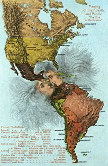
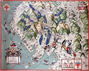
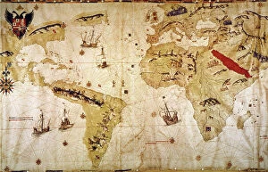
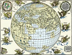
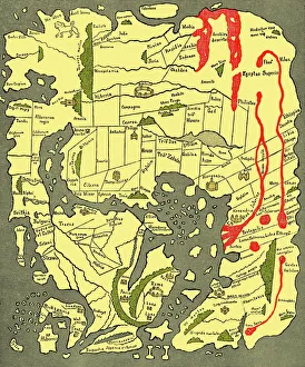
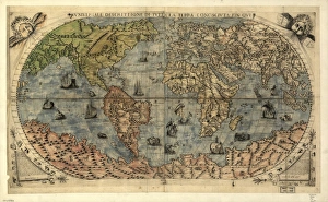
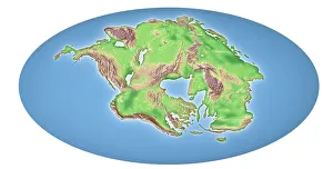
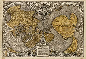
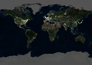
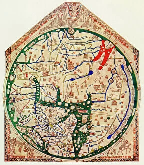
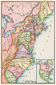
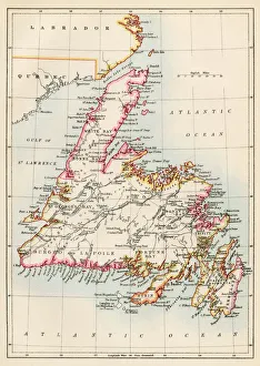
Some of our most popular maps and charts

62 Poster Prints

Background imagePopular Maps Poster Print Collection: Kiss of the Oceans - Atlantic meets Pacific - Panama Canal

Kiss of the Oceans - Atlantic meets Pacific - Panama Canal
The Kiss of the Oceans - The Atlantic meets the Pacific due to the construction of The Panama Canal - A lovely allegorical card relating to this phenomenal engineering project

Background imagePopular Maps Poster Print Collection: A Map of the Lake District, LMS poster, 1923-1947

A Map of the Lake District, LMS poster, 1923-1947
Poster produced for London, Midland & Scottish Railway (LMS) to promote rail travel to the Lake District. Artwork by Arthur Watts (1883-1935), who studied at the Slade Art School and in Antwerp

Background imagePopular Maps Poster Print Collection: The Tabula Rogeriana, drawn by al-Idrisi for Roger II of Sicily in 1154, an important

The Tabula Rogeriana, drawn by al-Idrisi for Roger II of Sicily in 1154, an important ancient world map

Background imagePopular Maps Poster Print Collection: VESPUCCIs WORLD MAP, 1526. Juan Vespuccis world map, 1526

VESPUCCIs WORLD MAP, 1526. Juan Vespuccis world map, 1526

Background imagePopular Maps Poster Print Collection: Durers world map, 1515

Durers world map, 1515. Albrecht Durer (1471- 1528) was a German artist. His skillful use of perspective and mathematical proportions made him one of the outstanding artistic figures of the early

Background imagePopular Maps Poster Print Collection: Anglo-Saxon 10th century world map

Anglo-Saxon 10th century world map
Anglo-Saxon world map, dating from the 10th century. East is top. This map of the known world was probably produced by an Irish monk

Background imagePopular Maps Poster Print Collection: 16th century world map

16th century world map
World map, published around 1565 in Venice, Italy, by Italian mapmaker Ferando Bertelli. The title of the map: Universale Descrittione di Tutta la Terra Conosciuta Fin Qui

Background imagePopular Maps Poster Print Collection: Continental drift after 250 million years

Continental drift after 250 million years, showing the supercontinent of Pangea Ultima, which was named for the ancient supercontinent of Pangea

Background imagePopular Maps Poster Print Collection: Global overpopulation, conceptual artwork

Global overpopulation, conceptual artwork. Map of the world made out of babies, representing the overpopulation of the Earth. Overpopulation is thought to be a major cause of climate change

Background imagePopular Maps Poster Print Collection: Oronce Fines world map, 1531

Oronce Fines world map, 1531
Oronce Fines world map. Map of the worlds northern and southern hemispheres by the French mathematician and cartographer Oronce Fine (1494-1555)

Background imagePopular Maps Poster Print Collection: Whole Earth at night, satellite image

Whole Earth at night, satellite image
Whole Earth map at night, satellite image. Here, Africa is seen at centre. City lights (yellow) of increasing intensity show areas of increasing population

Background imagePopular Maps Poster Print Collection: EXPL2A-00352

EXPL2A-00352
The Hereford Mappa Mundi of 1280 - Jerusalem is at the center, Europe lower left, Africa lower right. Printed color halftone reproduction 19th century

Background imagePopular Maps Poster Print Collection: Thirteen original colonies in 1776

Thirteen original colonies in 1776
American colonies at the outbreak of the Revolution. Printed color lithograph of a 19th-century illustration

Background imagePopular Maps Poster Print Collection: Newfoundland, 1870s

Newfoundland, 1870s
Map of Newfoundland, Canada, 1870s. Printed color lithograph


All Professionally Made to Order for Quick Shipping


-

Why Choose Us?

We are a leading provider of Art Prints and Photo Gifts since 2003, working in partnership with a range of Sporting Clubs, Charities, Museums and Picture Libraries. A large share of profits from any of their images will go directly towards supporting that charity or club. Our archive of images is carefully curated to bring you a wide range of subjects, including landscapes, wildlife, architecture, and more. We ship from our partner labs in the UK, USA, EU (Netherlands) and Australia.
+

How do I place an order?

Ordering is quick & easy - Just follow 5 Simple Steps:
  1. Find your image: Use our search box or browse our online photo Collections to find the image you want.

  2. Choose your print format: Select your desired product and add it to your cart.

  3. Enter your details: If you're a returning customer, simply enter your email address and password, and we'll fill in your billing and shipping address details. All personal details are held securely and are fully GDPR compliant. As standard, we remove all Personally Identifiable Information after 12 months.

  4. Pay for your purchase: We use state-of-the-art security for online shopping and do not have access to your card details.

  5. Sit back and relax: We'll email you confirmation of your order and when it's dispatched. Registered customers can also track orders in the 'My Account' area.

+

How do I pay for an order?

You can pay for your order with most of the major credit and debit cards, or PayPal. For added security, major financial institutions process payment details separately and securely on our behalf. We do not have access to your online payment card details. Online payments are preferred however we do take phone orders. For UK customers only we accept cheques issued against a UK bank.
+

Is my data safe?

We take data security very seriously. We do not have access to your full card details and all payments are requested over a fully secure connection. Additionally, we fully comply with current European and GDPR legislation, and automatically remove all personal data after at most 12 months (unless you have an account with us and have signed in recently). We also have a strict opt-in policy and would never sell your personal details. Your data is only used to fulfill your order promptly and efficiently.
+

Is wall art ready to hang?

For quick and easy installation all wall art, including framed prints, canvas prints and metal prints are supplied with a ready to hang solution on the back. Generally, saw tooth hangers are applied as they allow wall art to hang flush against the wall. The serrated edge of the hanger prevents the frame from shifting or tilting when hung.
+

Are the photo prints fade resistant?

Yes, we use archival quality photo paper photographic paper for vivid reproduction Prints are an accurate representations of the original artwork, which is preserved for artistic character and authenticity. We guarantee they match previews shown on our web site