Fraud Blocker Skip to main content

Home > Maps and Charts > Related Images

Related Images Collection (page 2)

50,000 items

Background imageRelated Images Collection: Blue map of USA and the Caribbean sea

Blue map of USA and the Caribbean sea
Rosana Laiz Blursbyai

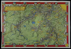
Background imageRelated Images Collection: A map of the Colne Valley Cloth District

A map of the Colne Valley Cloth District
Pictorial map of the Colne Valley Cloth District in Yorkshire, drawn by the poster artist and designer Leslie MacDonald Gill the year before his death, in 1946

Background imageRelated Images Collection: Map of the area around Isandlwana, Anglo-Zulu War, 1879

Map of the area around Isandlwana, Anglo-Zulu War, 1879
Vintage engraving of Map of the area around Isandlwana, Anglo-Zulu War, 1879

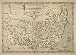
Background imageRelated Images Collection: County of Suffolk by Christopher Saxton, c. 1569. Reprint dated c. 1650

County of Suffolk by Christopher Saxton, c. 1569. Reprint dated c. 1650
SVFFOLCIAE COMITATVS ACC VRATA DESCRIPTIO, VNA CVM SINGVLIS HVNDREDIS ET FLVMINIBUS ET EODEM. Auctore Chriftophoro Saxton [c.1569] Printed and sould by P

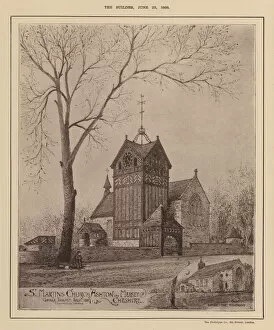
Background imageRelated Images Collection: St Martins Church, Ashton on Mersey, Cheshire (engraving)

St Martins Church, Ashton on Mersey, Cheshire (engraving)
7164119 St Martins Church, Ashton on Mersey, Cheshire (engraving) by English School, (19th century); Private Collection; (add.info.: St Martins Church, Ashton on Mersey, Cheshire)

Background imageRelated Images Collection: Birds Eye View of Bristol, 1887 (colour litho)

Birds Eye View of Bristol, 1887 (colour litho)
2829302 Birds Eye View of Bristol, 1887 (colour litho) by Lavars, Edward Colston (1842-1917); Bristol Museum and Art Gallery, UK; eBristol Museums, Galleries & Archives; English, out of copyright

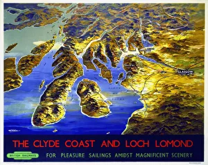
Background imageRelated Images Collection: The Clyde Coast and Loch Lomond, BR poster, 1955

The Clyde Coast and Loch Lomond, BR poster, 1955
Poster produced by British Railways (BR) to promote rail travel to Loch Lomond and the Clyde Coast of Scotland for pleasure sailings amidst magnificent scenery

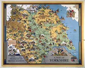
Background imageRelated Images Collection: A Map of Yorkshire, BR poster, 1949

A Map of Yorkshire, BR poster, 1949
Poster produced for British Railways (BR) to promote rail travel to and within Yorkshire. The poster shows a pictorial map of the county, with points of interest indicated. Artwork by Estra Clark

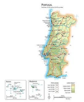
Background imageRelated Images Collection: Map of Portugal

Map of Portugal

Background imageRelated Images Collection: Singer Frank Ifield seen here posing for the Reveille newspaper for a fashion feature

Singer Frank Ifield seen here posing for the Reveille newspaper for a fashion feature. circa 1962. Ifield achieved considerable success in the first half of 1960s

Background imageRelated Images Collection: Map of the British Empire

Map of the British Empire
The Howard Vincent map of the British Empire, 1897 Date: 1897

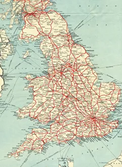
Background imageRelated Images Collection: British Railways network map 1950s

British Railways network map 1950s
A map showing the rail lines across the British Railway network during the 1950s

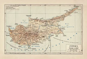
Background imageRelated Images Collection: Map of Cyprus, published in 1880

Map of Cyprus, published in 1880
Ancient map of Cyprus. Lithograph, published in 1880

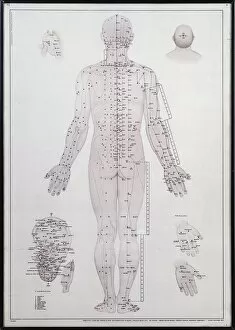
Background imageRelated Images Collection: Acupuncture meridian chart

Acupuncture meridian chart
Alternative Medicine - Chinese Medicine - Acupuncture meridian chart

Background imageRelated Images Collection: Flat Earth map of the world showing it to be a plane

Flat Earth map of the world showing it to be a plane
A MAP OF THE WORLD SHOWING IT TO BE A PLANE - and those of us who suppose it to be a globe are clearly mistaken. Date: 1893

Background imageRelated Images Collection: Map of ancient Rome

Map of ancient Rome
City plan of ancient Rome. Lithograph

Background imageRelated Images Collection: D-DAY MAP 1944

D-DAY MAP 1944
Plan 1C - Operation Neptune, an elaborate map detailing the proposed D-Day Normandy assault landings by Allied troops on the French beaches. Date: June 1944

Background imageRelated Images Collection: Kiss of the Oceans - Atlantic meets Pacific - Panama Canal

Kiss of the Oceans - Atlantic meets Pacific - Panama Canal
The Kiss of the Oceans - The Atlantic meets the Pacific due to the construction of The Panama Canal - A lovely allegorical card relating to this phenomenal engineering project

Background imageRelated Images Collection: MAP microwave background

MAP microwave background
Cosmic microwave background. Whole sky image of the cosmic microwave background made by the MAP (Microwave Anisotropy Probe) spacecraft

Background imageRelated Images Collection: Reference Map of Spain

Reference Map of Spain
The Spain Map shows that Spain is situated in south-western Europe. Spain is bordered by Mediterranean Sea, Gibraltar, France, Andorra, Bay of Biscay, Atlantic Ocean and Portugal

Background imageRelated Images Collection: Map of Russia

Map of Russia
Reference Map of Russia

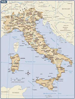
Background imageRelated Images Collection: Italy country map

Italy country map
2011 edition

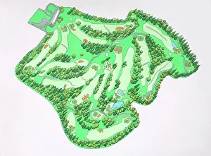
Background imageRelated Images Collection: Illustrated map of Augusta National Golf Course, Augusta, Georgia, USA

Illustrated map of Augusta National Golf Course, Augusta, Georgia, USA

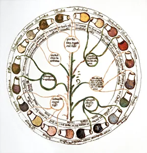
Background imageRelated Images Collection: Medieval urine wheel

Medieval urine wheel. Labelled in Latin, this 15th century diagram shows some of the possible colours of urine (outer edge of circle) to help doctors diagnose urine-related diseases

Background imageRelated Images Collection: Map of France - Vector

Map of France - Vector illustration

Background imageRelated Images Collection: Ukraine country map

Ukraine country map
2011 edition

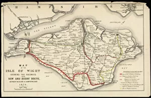
Background imageRelated Images Collection: Map of Isle of Wight

Map of Isle of Wight
A Map of the Isle of Wight, showing the internal railway system and the new & short route between the island and the Hampshire coast

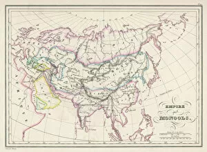
Background imageRelated Images Collection: Map / Asia / Mongol Empire

Map / Asia / Mongol Empire
The Mongol Empire at its greatest extent : commenced by Genghis Khan in the 13th century, it was enlarged by Kublai Khan but broke up after about 1380

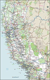
Background imageRelated Images Collection: California Highway Map

California Highway Map
Reference Maps, Top Sellers Art Prints, 103312667

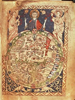
Background imageRelated Images Collection: Mappa Mundi, ink and colors on parchment, created in London about 1265

Mappa Mundi, ink and colors on parchment, created in London about 1265
Cartography, 13th century. Mappa Mundi, Medieval map, London about 1265. Ink and colors on parchment. The maps diameter is 9 cm

Background imageRelated Images Collection: Daily Mail War Map, WW1

Daily Mail War Map, WW1
A fold out war map issued by the Daily Mail in the early weeks of the First World War. The map offers statistics regarding the manpower strength of each of the warring nations

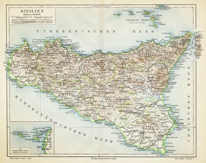
Background imageRelated Images Collection: Sicily map 1895

Sicily map 1895
Meyers Konversations-Lexikon. Ein Nachschlagewerk des allgemeinen Wissens, 5th edition 17 volumes Bibliographisches Institut - Leipzig 1895-1897

Background imageRelated Images Collection: Map of The Byzantine Empire

Map of The Byzantine Empire
A map showing the extent of the Byzantine Empire - the predominantly Greek-speaking continuation of the Roman Empire during Late Antiquity and the Middle Ages. Date: 1800

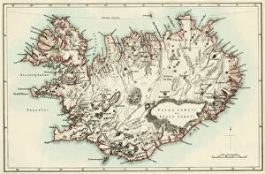
Background imageRelated Images Collection: Iceland map, 1800s

Iceland map, 1800s
Map of Iceland, 1870s. Printed color lithograph reproduction of a 19th-century illustratioin

Background imageRelated Images Collection: Map of England in 1066

Map of England in 1066
England at the time of the Norman conquest, 1066-1081. Color lithograph of a 19th-century illustration

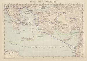
Background imageRelated Images Collection: Apostle Pauls Missionary Journeys, lithograph, published in 1886

Apostle Pauls Missionary Journeys, lithograph, published in 1886
Apostle Pauls Missionary Journeys: 1st (green); 2nd (red); 3rd (blue); last to Rome (yellow). Lithograph, published in 1886. Paul travelled over 10, 000 miles proclaiming the gospel of Jesus Christ

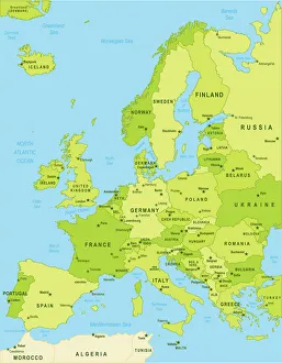
Background imageRelated Images Collection: Detailed map of Europe

Detailed map of Europe
url=http:/istockphoto/search/lightbox/12455888]

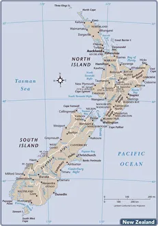
Background imageRelated Images Collection: New Zealand country map

New Zealand country map
2011 edition

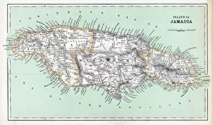
Background imageRelated Images Collection: Maps / Jamaica

Maps / Jamaica
Maps/Jamaica

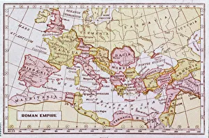
Background imageRelated Images Collection: Map of the Roman Empire

Map of the Roman Empire
A map showing the extent of the Roman Empire

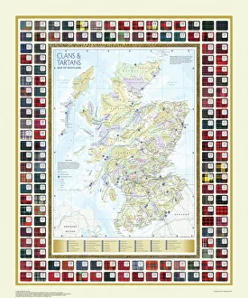
Background imageRelated Images Collection: Map of the Clans and Tartans of Scotland

Map of the Clans and Tartans of Scotland
This map of Scotland indicates the general sphere of influence held by the clans and considerable families at the beginning of the 17th century

Background imageRelated Images Collection: Norfolk County Road Map

Norfolk County Road Map
A detailed map of the glorious county of Norfolk in England. Derived from high quality Collins Bartholomew map data showing larger villages

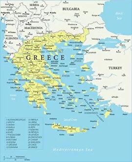
Background imageRelated Images Collection: Map of Greece - Vector

Map of Greece - Vector illustration

Background imageRelated Images Collection: Japan country map

Japan country map
2011 edition

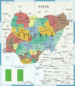
Background imageRelated Images Collection: Coloured Map of Nigeria with Flag

Coloured Map of Nigeria with Flag
Nigeria is located in western Africa. Nigeria is bordered by the Gulf of Guinea, Benin to the west, Niger to the north, and Chad and Cameroon to the east

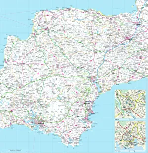
Background imageRelated Images Collection: Devon County Road Map

Devon County Road Map
A detailed map of the glorious county of Devon in England. Derived from high quality Collins Bartholomew map data showing larger villages

Background imageRelated Images Collection: Map of the Battle of Waterloo, 18th June 1815 (19th century)

Map of the Battle of Waterloo, 18th June 1815 (19th century). Battle plan showing the positions of the British and French armies at the outset of the battle

Background imageRelated Images Collection: Mappa Mundi, c. 1290 (vellum)

Mappa Mundi, c. 1290 (vellum)
BAL62567 Mappa Mundi, c.1290 (vellum) by Richard of Haldingham (Richard de Bello) (fl.c.1260-1305); Hereford Cathedral, Herefordshire, UK; English, out of copyright


All Professionally Made to Order for Quick Shipping


-

Why Choose Us?

We are a leading provider of Art Prints and Photo Gifts since 2003, working in partnership with a range of Sporting Clubs, Charities, Museums and Picture Libraries. A large share of profits from any of their images will go directly towards supporting that charity or club. Our archive of images is carefully curated to bring you a wide range of subjects, including landscapes, wildlife, architecture, and more. We ship from our partner labs in the UK, USA, EU (Netherlands) and Australia.
+

How do I place an order?

Ordering is quick & easy - Just follow 5 Simple Steps:
  1. Find your image: Use our search box or browse our online photo Collections to find the image you want.

  2. Choose your print format: Select your desired product and add it to your cart.

  3. Enter your details: If you're a returning customer, simply enter your email address and password, and we'll fill in your billing and shipping address details. All personal details are held securely and are fully GDPR compliant. As standard, we remove all Personally Identifiable Information after 12 months.

  4. Pay for your purchase: We use state-of-the-art security for online shopping and do not have access to your card details.

  5. Sit back and relax: We'll email you confirmation of your order and when it's dispatched. Registered customers can also track orders in the 'My Account' area.

+

How do I pay for an order?

You can pay for your order with most of the major credit and debit cards, or PayPal. For added security, major financial institutions process payment details separately and securely on our behalf. We do not have access to your online payment card details. Online payments are preferred however we do take phone orders. For UK customers only we accept cheques issued against a UK bank.
+

Is my data safe?

We take data security very seriously. We do not have access to your full card details and all payments are requested over a fully secure connection. Additionally, we fully comply with current European and GDPR legislation, and automatically remove all personal data after at most 12 months (unless you have an account with us and have signed in recently). We also have a strict opt-in policy and would never sell your personal details. Your data is only used to fulfill your order promptly and efficiently.
+

Is wall art ready to hang?

For quick and easy installation all wall art, including framed prints, canvas prints and metal prints are supplied with a ready to hang solution on the back. Generally, saw tooth hangers are applied as they allow wall art to hang flush against the wall. The serrated edge of the hanger prevents the frame from shifting or tilting when hung.
+

Are the photo prints fade resistant?

Yes, we use archival quality photo paper photographic paper for vivid reproduction Prints are an accurate representations of the original artwork, which is preserved for artistic character and authenticity. We guarantee they match previews shown on our web site