Poster Print : Map of Spain
![]()

Poster Prints from Mary Evans Picture Library
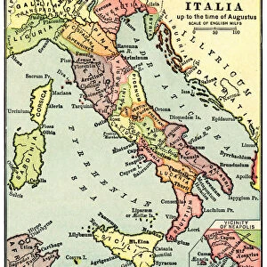
Map of Spain
Map of Spain said to have been used by the Duke of Wellington, 1808-1814. Associated with the Peninsular War (1808-1814). Date: 1814
Mary Evans Picture Library makes available wonderful images created for people to enjoy over the centuries
Media ID 14404206
© The National Army Museum / Mary Evans Picture Library
1808 1814 Associated Peninsular Wellington
A4 (29.7 x 21cm) Poster Print
Discover history with our exquisite Map of Spain Poster Print from Media Storehouse. This captivating antique map, sourced from Mary Evans Prints Online, dates back to 1814 and is said to have been used by the Duke of Wellington during the Peninsular War (1808-1814). Add an air of historical intrigue to any room with this beautifully detailed illustration, showcasing the geography of Spain during a pivotal period in European history. Each print is produced using high-quality materials and vibrant colors, ensuring a stunning addition to your home or office decor. Bring the past to life with Media Storehouse's Map of Spain Poster Print.
Premium quality poster prints are printed on luxurious semi-gloss satin 270 gsm paper. Our meticulously crafted poster prints offer an affordable option for decorating any space, making them ideal for living rooms, bedrooms, offices and beyond. To ensure your poster arrives in good condition, we roll and send them in strong mailing tubes.
Poster prints are budget friendly enlarged prints in standard poster paper sizes (A0, A1, A2, A3 etc). Whilst poster paper is sometimes thinner and less durable than our other paper types, they are still ok for framing and should last many years. Our Archival Quality Photo Prints and Fine Art Paper Prints are printed on higher quality paper and the choice of which largely depends on your budget.
Estimated Product Size is 30.3cm x 21.6cm (11.9" x 8.5")
These are individually made so all sizes are approximate
Artwork printed orientated as per the preview above, with landscape (horizontal) or portrait (vertical) orientation to match the source image.
EDITORS COMMENTS
This historic map print of Spain, dated 1814, is believed to have been used by the Duke of Wellington during the Peninsular War (1808-1814). The Duke, an English soldier and statesman, played a crucial role in the war against the French forces that had invaded the Iberian Peninsula. The map, with its intricate detail and precise cartography, would have been an invaluable tool for the Duke and his troops as they navigated the complex terrain of Spain and Portugal during their campaigns. The map's age and association with such a significant historical figure make it a valuable piece of military and cartographic history. The Peninsular War was a pivotal moment in European history, as it marked the beginning of the end for Napoleon Bonaparte's European conquests. The war also saw the rise of the Duke of Wellington as a military hero and set the stage for the final defeat of Napoleon at the Battle of Waterloo in 1815. This map, with its rich historical significance, offers a glimpse into the strategic planning and military tactics employed during one of the most important conflicts in European history.
MADE IN AUSTRALIA
Safe Shipping with 30 Day Money Back Guarantee
FREE PERSONALISATION*
We are proud to offer a range of customisation features including Personalised Captions, Color Filters and Picture Zoom Tools
SECURE PAYMENTS
We happily accept a wide range of payment options so you can pay for the things you need in the way that is most convenient for you
* Options may vary by product and licensing agreement. Zoomed Pictures can be adjusted in the Cart.


