Home > Oceania > Australia > Maps
State of Victoria, Australia, Relief Map

![]()
Wall Art and Photo Gifts from Universal Images Group (UIG)
State of Victoria, Australia, Relief Map
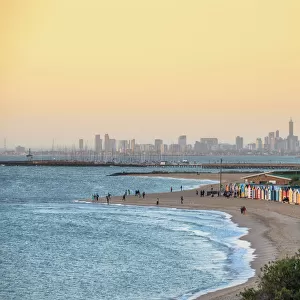
Relief map of the State of Victoria, Australia. This image was compiled from data acquired by LANDSAT 5 & 7 satellites combined with elevation data
Universal Images Group (UIG) manages distribution for many leading specialist agencies worldwide
Media ID 9618617
© Planet Observer/UIG
Australia Coastline Melbourne Oceania Relief Map Shore State Victoria Satellite View
FEATURES IN THESE COLLECTIONS
> Aerial Photography
> Australia
> Oceania
> Australia
> Melbourne
> Universal Images Group (UIG)
> Universal Images Group
> Satellite and Aerial
> Planet Observer 4
EDITORS COMMENTS
This print showcases the intricate and detailed relief map of the State of Victoria, Australia. Created from a combination of data acquired by LANDSAT 5 & 7 satellites along with elevation information, this image offers a unique perspective on the topography and physical geography of this stunning region. The vibrant colors and horizontal composition make it an eye-catching piece that would enhance any space. The relief map highlights not only the diverse landscapes but also the beautiful coastline that stretches along Victoria's shores. From rugged mountain ranges to rolling hills, this photograph captures the essence of Victoria's natural beauty in a single frame. With no people present in the image, it allows viewers to immerse themselves fully in its awe-inspiring scenery. Cartography enthusiasts and those interested in satellite views will find great delight in exploring every detail presented within this print. It serves as both an informative tool for understanding Victoria's terrain and a visually striking work of art. As part of Universal Images Group (UIG) collection, which specializes in high-quality photography from around the world, this particular print is perfect for educational purposes or simply as an aesthetic addition to your home or office decor
MADE IN AUSTRALIA
Safe Shipping with 30 Day Money Back Guarantee
FREE PERSONALISATION*
We are proud to offer a range of customisation features including Personalised Captions, Color Filters and Picture Zoom Tools
SECURE PAYMENTS
We happily accept a wide range of payment options so you can pay for the things you need in the way that is most convenient for you
* Options may vary by product and licensing agreement. Zoomed Pictures can be adjusted in the Cart.