Cushion > Universal Images Group (UIG) > Universal Images Group > Satellite and Aerial > Planet Observer 6
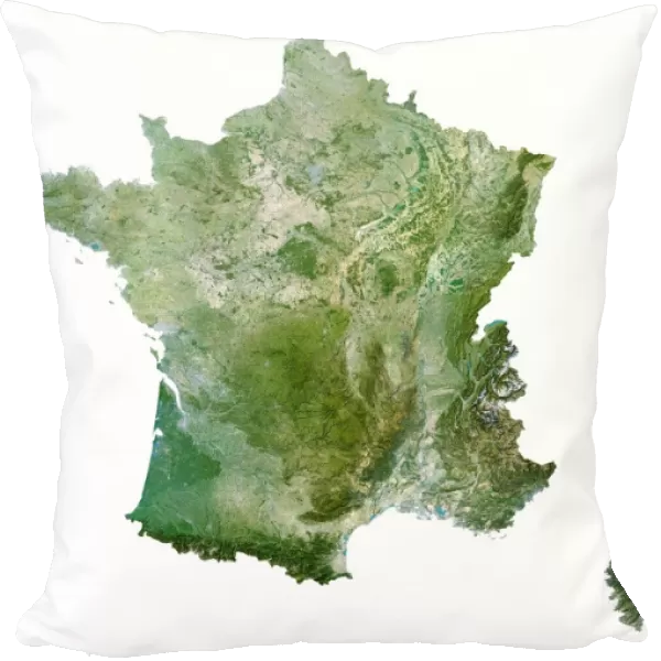
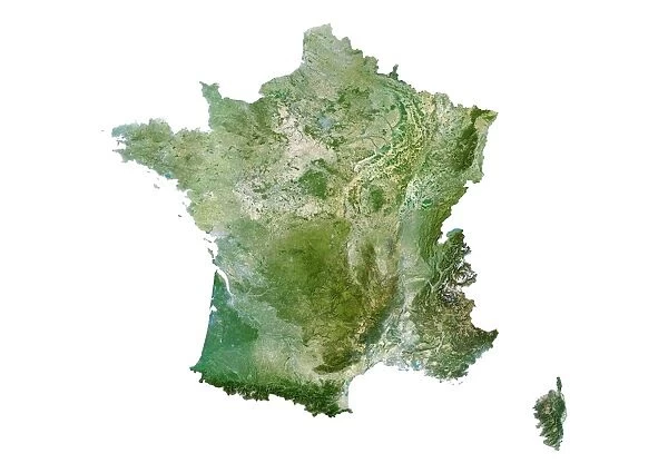
Cushion : France, Relief Map With Region Boundaries
![]()

Home Decor from Universal Images Group (UIG)
France, Relief Map With Region Boundaries
Satellite view of France. This image was compiled from data acquired by LANDSAT satellite
Universal Images Group (UIG) manages distribution for many leading specialist agencies worldwide
Media ID 9608963
© Planet Observer
Alsace Bas Rhin Geographical Border Relief Map Satellite View
Cushion
Refresh your home decor with a beautiful full photo 16"x16" (40x40cm) cushion, complete with cushion pad insert. Printed on both sides and made from 100% polyester with a zipper on the bottom back edge of the cushion cover. Care Instructions: Warm machine wash, do not bleach, do not tumble dry. Warm iron inside out. Do not dry clean.
Accessorise your space with decorative, soft cushions
Estimated Product Size is 40cm x 40cm (15.7" x 15.7")
These are individually made so all sizes are approximate
Artwork printed orientated as per the preview above, with landscape (horizontal) or portrait (vertical) orientation to match the source image.
EDITORS COMMENTS
This stunning print showcases the captivating beauty of France, offering a unique perspective from above. A satellite view of the country reveals its diverse topography and intricate region boundaries, providing an informative and visually striking representation. Compiled from data acquired by the LANDSAT satellite, this image captures every detail with remarkable precision. The rich colors and vertical composition make this photograph a true work of art. The lush green landscapes, majestic mountain ranges, and meandering rivers are all brought to life in vivid clarity. With no people present in the frame, the focus remains solely on France's natural splendor. From the rolling hills of Alsace to the picturesque Bas Rhin region, each area is clearly defined on this relief map. This aerial perspective allows us to appreciate not only France's physical geography but also its geographical borders that have shaped its history and culture over time. As we gaze upon this awe-inspiring image, we are reminded of Europe's incredible diversity and how it manifests itself within one single country. Whether you're an avid cartography enthusiast or simply captivated by breathtaking photography, this print offers a fascinating glimpse into France's magnificent landscape
MADE IN AUSTRALIA
Safe Shipping with 30 Day Money Back Guarantee
FREE PERSONALISATION*
We are proud to offer a range of customisation features including Personalised Captions, Color Filters and Picture Zoom Tools
SECURE PAYMENTS
We happily accept a wide range of payment options so you can pay for the things you need in the way that is most convenient for you
* Options may vary by product and licensing agreement. Zoomed Pictures can be adjusted in the Cart.


