Home > Europe > Portugal > Maps
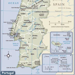
Map of the island of Madere (Portuguese island of the Atlantic Ocean), circa 1870. 19th century lithography
![]()

Wall Art and Photo Gifts from Fine Art Finder
Map of the island of Madere (Portuguese island of the Atlantic Ocean), circa 1870. 19th century lithography
NWI4871697 Map of the island of Madere (Portuguese island of the Atlantic Ocean), circa 1870. 19th century lithography.; (add.info.: Map of the island of Madere (Portuguese island of the Atlantic Ocean), circa 1870. 19th century lithography.); Photo © North Wind Pictures
Media ID 38166406
© © North Wind Pictures / Bridgeman Images
Atlantic Ocean Portugal Portugal Portuguese Portugese Portuguese Portugueses Geographical Map
FEATURES IN THESE COLLECTIONS
> Arts
> Artists
> O
> Oceanic Oceanic
> Europe
> Portugal
> Related Images
> Fine Art Finder
> Artists
> Artist Unknown
> Maps and Charts
> Early Maps
> Maps and Charts
> Related Images
> Popular Themes
> North Island
EDITORS COMMENTS
This stunning lithograph print from the 19th century showcases a detailed map of the island of Madeira, a Portuguese gem nestled in the vast Atlantic Ocean. The intricate lines and vibrant colors bring to life the geography of this enchanting island, capturing its beauty and allure.
As you gaze upon this historical piece, you can almost feel yourself being transported back in time to an era where exploration and discovery were at the forefront. The meticulous craftsmanship of the engraver is evident in every curve and contour, showcasing their dedication to accurately depicting this picturesque location.
Madeira's rich history and unique charm are beautifully encapsulated in this map, offering a glimpse into what life was like on the island during that period. From its lush landscapes to its bustling ports, every detail is meticulously rendered for viewers to admire.
Whether you have a personal connection to Madeira or simply appreciate historical cartography, this print is sure to captivate your imagination and spark your curiosity about this destination. Let yourself be drawn into the past as you explore the intricacies of this 19th-century lithograph map of Madeira.
MADE IN AUSTRALIA
Safe Shipping with 30 Day Money Back Guarantee
FREE PERSONALISATION*
We are proud to offer a range of customisation features including Personalised Captions, Color Filters and Picture Zoom Tools
SECURE PAYMENTS
We happily accept a wide range of payment options so you can pay for the things you need in the way that is most convenient for you
* Options may vary by product and licensing agreement. Zoomed Pictures can be adjusted in the Cart.


