Home > Europe > France > Maps
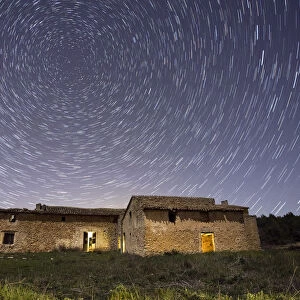
Map of the island Corsica, France, wood engraving, published in 1897

![]()
Wall Art and Photo Gifts from Fine Art Storehouse
Map of the island Corsica, France, wood engraving, published in 1897
Map of the island Corsica, France. Wood engraving, published in 1897
Unleash your creativity and transform your space into a visual masterpiece!
Media ID 14756138
© This content is subject to copyright
Corsica French Culture Island Isle Mediterranean Sea South Europe Topographic Map Topography Ajaccio Bastia Bonifacio
FEATURES IN THESE COLLECTIONS
> Fine Art Storehouse
> Map
> Historical Maps
> Maps and Charts
> Early Maps
EDITORS COMMENTS
This black and white wood engraving, published in 1897, showcases a topographic map of the stunning island Corsica in France. The intricate details of this historic print take us back to the enchanting 19th century, offering a glimpse into the rich history and culture of French heritage. Corsica's rugged mountain range dominates the landscape, creating an awe-inspiring backdrop that stretches across the entire island. As we explore this topography, we can almost feel ourselves being transported to this picturesque Mediterranean paradise. The map highlights key cities such as Bastia, Ajaccio, and Bonifacio along with their respective coastlines. These coastal towns are known for their charming architecture and vibrant French atmosphere. As our eyes wander over every contour of this vertical woodcut masterpiece, it becomes evident why Corsica has been a popular travel destination for centuries. Its unique blend of natural beauty and cultural significance makes it an irresistible gem nestled within South Europe. Whether you're a history enthusiast or simply captivated by maps, this vintage print is sure to spark your imagination and transport you to another era. Hang it proudly on your wall as a testament to both French culture and European exploration – a timeless piece that will undoubtedly ignite conversations about Corsica's allure for years to come.
MADE IN AUSTRALIA
Safe Shipping with 30 Day Money Back Guarantee
FREE PERSONALISATION*
We are proud to offer a range of customisation features including Personalised Captions, Color Filters and Picture Zoom Tools
SECURE PAYMENTS
We happily accept a wide range of payment options so you can pay for the things you need in the way that is most convenient for you
* Options may vary by product and licensing agreement. Zoomed Pictures can be adjusted in the Cart.