
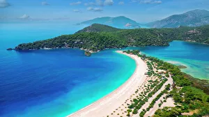
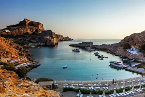
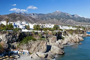
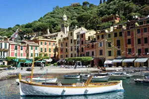
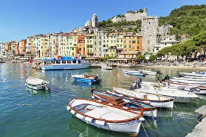
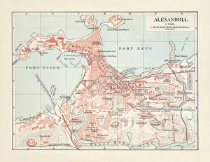
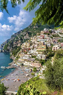
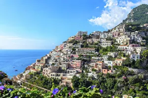
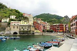
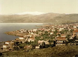
Mediterranean Sea Collection
The Mediterranean Sea, a timeless expanse of beauty and history, has witnessed the rise and fall of empires throughout the ages


All Professionally Made to Order for Quick Shipping
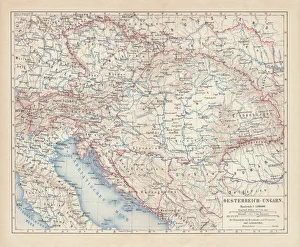
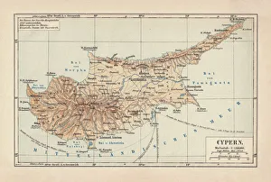
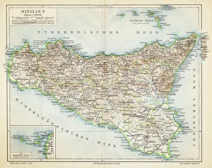
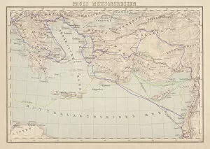
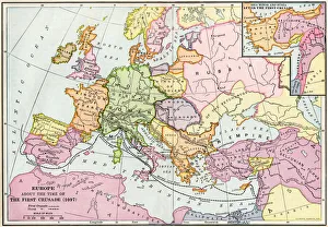
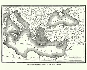
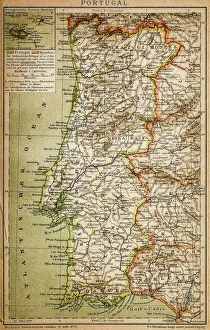
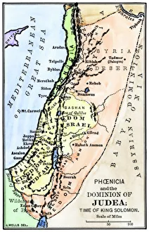
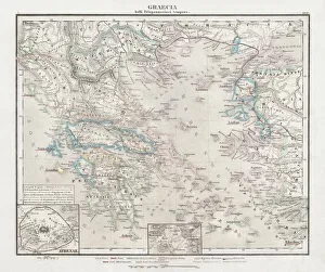
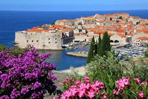
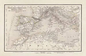
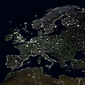
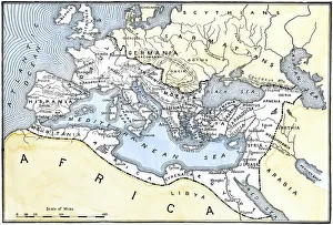
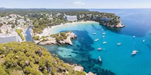
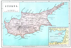
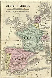
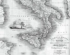
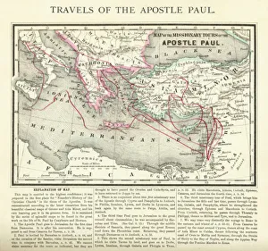
The Mediterranean Sea, a timeless expanse of beauty and history, has witnessed the rise and fall of empires throughout the ages. As we explore its rich tapestry through various maps and lithographs, we are transported to different eras that have shaped our world. Let's begin our journey with a Map of Cyprus from 1880, revealing the island's strategic location in the heart of this ancient sea. It serves as a gateway to Apostle Paul's Missionary Journeys depicted in an 1886 lithograph. These journeys spread Christianity across lands touched by the Mediterranean's gentle waves. Moving forward in time, we encounter a Map of the Byzantine Empire in the 9th Century. This empire once dominated these shores with its grandeur and influence. Further west lies Portugal on another map, reminding us of their maritime prowess during Europe's Age of Exploration. As we delve deeper into history, Medieval Europe at the start of the Crusades comes alive before us. The clash between East and West reverberates across these waters as kingdoms vie for control amidst religious fervor. Sicily unveils itself through a map from 1895 – an island steeped in diverse cultures due to its strategic position within this sea. Ancient Palestine emerges next with maps showcasing kingdoms like Judah and Israel; lands where stories from biblical times unfolded against this breathtaking backdrop. Greece takes center stage as we witness it at the beginning of one of history's most famous conflicts -the Peloponnesian War (431-404 BC). City-states battle for supremacy while leaving an indelible mark on Western civilization. A View of Old Town City Dubrovnik captures our attention next; its medieval walls standing strong against time’s relentless march. This Croatian gem reminds us how coastal cities flourished along these shores since antiquity.