
Ashfield Collection
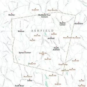
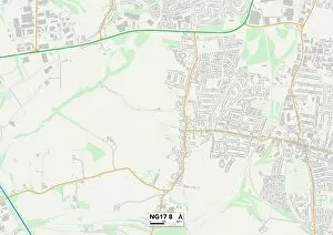
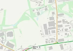
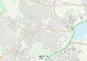
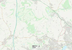
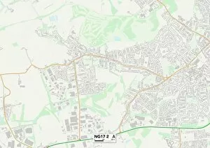
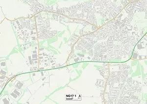
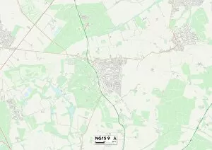
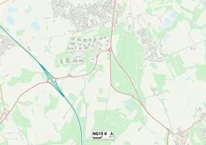
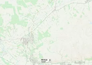
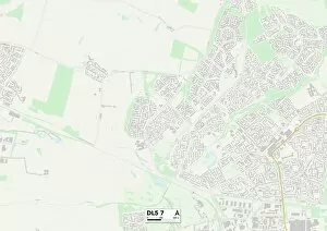
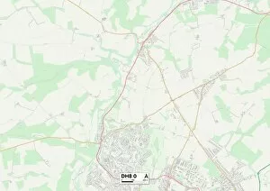
Ashfield, a charming town located in Nottinghamshire, is a hidden gem nestled between Mansfield and Church Street


All Professionally Made to Order for Quick Shipping
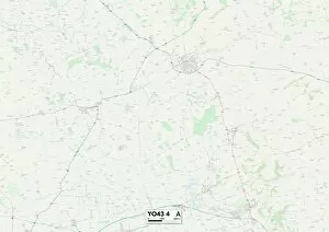
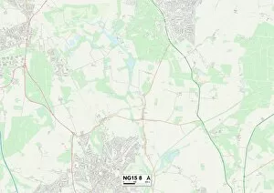
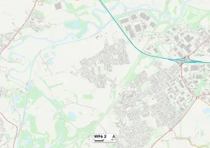
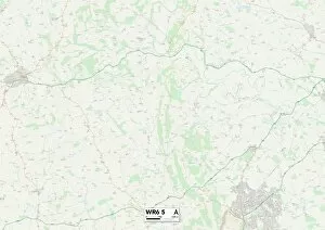
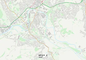
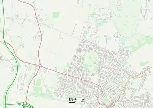
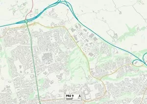
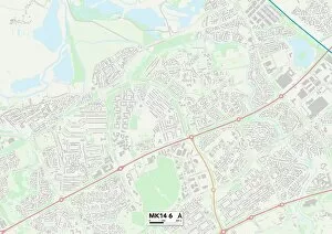
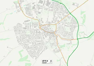
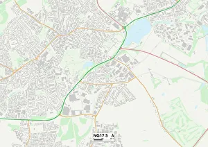
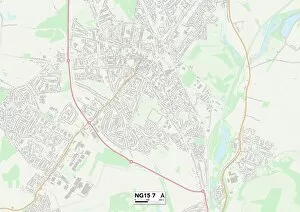
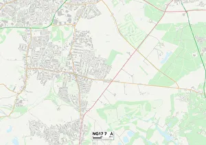
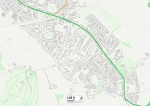
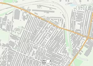
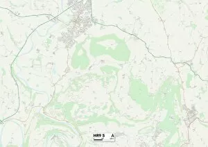
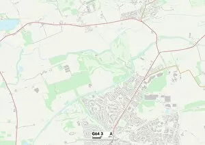
Ashfield, a charming town located in Nottinghamshire, is a hidden gem nestled between Mansfield and Church Street. With its picturesque landscapes and rich history, it offers something for everyone. For those who love exploring the outdoors, East Riding of Yorkshire YO43 4 Map is just a stone's throw away from Ashfield. This stunning area boasts breathtaking views and tranquil walking trails that will leave you feeling refreshed and rejuvenated. If you prefer to stay closer to home, Ashfield NG15 8 Map provides an array of local attractions. From quaint cafes to boutique shops, this vibrant neighborhood has it all. Take a stroll through the streets of Leeds LS22 7 Map or attend one of Mrs & Mrs Sweeny's famous Ascot House Parties for an unforgettable experience. Art enthusiasts will be delighted by the Portrait of Edward Stuart at Sutton-in-Ashfield Town railway station. This captivating piece showcases the elegance and grace of this historic figure with his flowing hair and lace stock. For those planning their next adventure beyond Ashfield's borders, MA Franklin Ashfield Vector Road Map offers detailed routes to nearby destinations such as Conway in East Riding or Wakefield WF6 2 Map in West Yorkshire. Explore further into Worcester WR6 5 Map or Wiltshire SN6 6 Map for even more exciting discoveries. Whether you're seeking tranquility amidst nature or immersing yourself in culture and history, it has it all. So pack your bags and embark on an unforgettable journey through this enchanting town – where beauty meets heritage at every turn.