Home > Animals > Birds > Passerines > Larks > Skylark
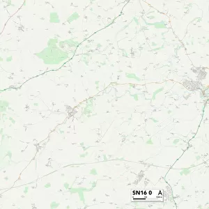
Wiltshire SN6 6 Map
![]()

Wall Art and Photo Gifts from Map Marketing
Wiltshire SN6 6 Map
Postcode Sector Map of Wiltshire SN6 6
Media ID 19981004
Ashfield Back Street Bath Road Blythe Close Cherry Tree Road Church Lane Church View Church Walk Common Hill Croft Close Croft Lane Eastfield Fairfield Fore Street Gas Lane Greenfield View Harris Road High Road High Street Hillside Leigh Long Row Malmesbury Road Mill Lane North End Park End Park Place Rectory Lane Red Lion Lane Richmond Court Ridgeway Lane Saxon Close School Lane Stones Lane Swan Lane Swindon Road Thames Close The Mead The Street Upcott White Horse Road Wiltshire Carpenters Cliffords Cricklade Dairy Farm Hitchings Home Ground Keels Lake Louise Middle Ground North Wall Pittsfield Reeds
FEATURES IN THESE COLLECTIONS
> Map Marketing
> Postcode Sector Maps
> SN - Swindon
> Animals
> Birds
> Passerines
> Larks
> Skylark
> Animals
> Mammals
> Muridae
> Fortior
> Animals
> Mammals
> Muridae
> House Mouse
> Animals
> Mammals
> Muridae
> Water Mouse
> Arts
> Portraits
> Pop art gallery
> Street art portraits
> Europe
> United Kingdom
> England
> Kent
> Church Street
> Europe
> United Kingdom
> England
> Kent
> Court-at-Street
> Europe
> United Kingdom
> England
> Kent
> Green Street Green
> Europe
> United Kingdom
> England
> Kent
> Ham
MADE IN AUSTRALIA
Safe Shipping with 30 Day Money Back Guarantee
FREE PERSONALISATION*
We are proud to offer a range of customisation features including Personalised Captions, Color Filters and Picture Zoom Tools
SECURE PAYMENTS
We happily accept a wide range of payment options so you can pay for the things you need in the way that is most convenient for you
* Options may vary by product and licensing agreement. Zoomed Pictures can be adjusted in the Cart.


