Fraud Blocker Skip to main content

Boundaries Collection (page 5)

"Exploring Boundaries: Tracing the Historical Imprints of Scotland's Borders" This captivating satellite image showcases the intricate boundaries that define Scotland

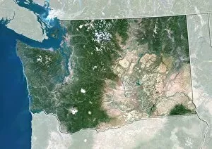
Background imageBoundaries Collection: Washington, USA, satellite image

Washington, USA, satellite image
Washington, USA. North is at top. Natural colour satellite image of the USA, showing the state of Washington, with the surrounding states shaded out. The Pacific Ocean (blue) is also shown

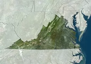
Background imageBoundaries Collection: Virginia, USA, satellite image

Virginia, USA, satellite image
Virginia, USA. North is at top. Natural colour satellite image of the USA, showing the state of Virginia, with the surrounding states shaded out. The Atlantic Ocean (blue) is also shown

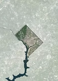
Background imageBoundaries Collection: Washington DC, USA, satellite image

Washington DC, USA, satellite image
Washington DC, USA. North is at top. Natural colour satellite showing Washington, D.C. in the Mid Atlantic region of the USA, with the surrounding states shaded out

Background imageBoundaries Collection: Texas, USA, satellite image

Texas, USA, satellite image
Texas, USA. North is at top. Natural colour satellite image of the USA, showing the state of Texas, with the surrounding states shaded out. The USA consists of 50 states

Background imageBoundaries Collection: Utah, USA, satellite image

Utah, USA, satellite image
Utah, USA. North is at top. Natural colour satellite image of the USA, showing the state of Utah, with the surrounding states shaded out. The USA consists of 50 states

Background imageBoundaries Collection: New Jersey, USA, satellite image

New Jersey, USA, satellite image
New Jersey, USA. North is at top. Natural colour satellite image of the USA, showing the state of New Jersey, with the surrounding states shaded out. The Atlantic Ocean (blue) is also shown

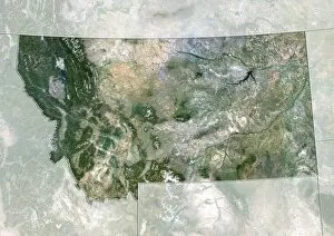
Background imageBoundaries Collection: Montana, USA, satellite image

Montana, USA, satellite image
Montana, USA. North is at top. Natural colour satellite image of the USA, showing the state of Montana, with the surrounding states shaded out. The USA consists of 50 states

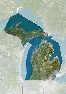
Background imageBoundaries Collection: Michigan, USA, satellite image

Michigan, USA, satellite image
Michigan, USA. North is at top. Natural colour satellite image of the USA, showing the state of Michigan with the surrounding states shaded out. The USA consists of 50 states

Background imageBoundaries Collection: Kansas, USA, satellite image

Kansas, USA, satellite image
Kansas, USA. North is at top. Natural colour satellite image of the USA, showing the state of Kansas with the surrounding states shaded out. The USA consists of 50 states

Background imageBoundaries Collection: Massachusetts, USA, satellite image

Massachusetts, USA, satellite image
Massachusetts, USA. North is at top. Natural colour satellite image of the USA, showing the state of Massachusetts with the surrounding states shaded out. The USA consists of 50 states

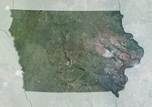
Background imageBoundaries Collection: Iowa, USA, satellite image

Iowa, USA, satellite image
Iowa, USA. North is at top. Natural colour satellite image of the USA, showing the state of Iowa with the surrounding states shaded out. The USA consists of 50 states

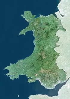
Background imageBoundaries Collection: Wales, UK, satellite image

Wales, UK, satellite image
Wales, UK. North is at top. Natural colour satellite image showing Wales in the United Kingdom, with the surrounding territories shaded out

Background imageBoundaries Collection: Northern Ireland, UK, satellite image

Northern Ireland, UK, satellite image
Northern Ireland, UK. North is at top. Natural colour satellite image showing Northern Ireland in the United Kingdom, with the surrounding territories shaded out

Background imageBoundaries Collection: England, UK, satellite image

England, UK, satellite image
England, UK. North is at top. Natural colour satellite image showing England in the United Kingdom, with the surrounding territories shaded out

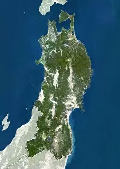
Background imageBoundaries Collection: Tohoku, Japan, satellite image

Tohoku, Japan, satellite image
Tohoku, Japan. North is at top. Natural colour satellite image showing the Tohoku region of Japan, with the surrounding regions shaded out. Japan is an island nation in East Asia

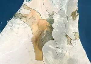
Background imageBoundaries Collection: Sharjah, UAE, satellite image

Sharjah, UAE, satellite image
Sharjah, United Arab Emirates. North is at top. Natural colour satellite image showing the emirate of Sharjah, United Arab Emirates (UAE), with the surrounding emirates shaded out
Background imageBoundaries Collection: Kyushu, Japan, satellite image

Kyushu, Japan, satellite image
Kyushu, Japan. North is at top. Natural colour satellite image showing the island of Kyushu, Japan, with the surrounding regions shaded out. Japan is an island nation in East Asia

Background imageBoundaries Collection: Kansai, Japan, satellite image

Kansai, Japan, satellite image
Kansai, Japan. North is at top. Natural colour satellite image showing the Kansai region of Japan, with the surrounding regions shaded out. Japan is an island nation in East Asia

Background imageBoundaries Collection: Calabria, Italy, satellite image

Calabria, Italy, satellite image
Calabria, Italy. North is at top. Natural colour satellite image showing the region of Calabria, in Italy, with the surrounding Italian regions shaded out

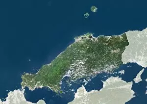
Background imageBoundaries Collection: Chugoku, Japan, satellite image

Chugoku, Japan, satellite image
Chugoku, Japan. North is at top. Natural colour satellite image showing the Chugoku region of Japan, with the surrounding regions shaded out. Japan is an island nation in East Asia

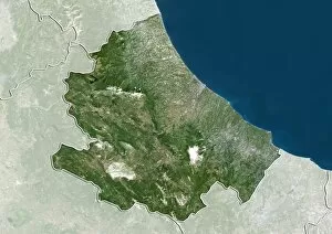
Background imageBoundaries Collection: Abruzzo, Italy, satellite image

Abruzzo, Italy, satellite image
Abruzzo, Italy. North is at top. Natural colour satellite image showing the region of Abruzzo, in Italy, with the surrounding Italian regions shaded out

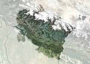
Background imageBoundaries Collection: Uttarakhand, India, satellite image

Uttarakhand, India, satellite image
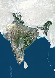
Uttarakhand, India. North is at top. Natural colour satellite image showing the state of Uttarakhand, India, with the surrounding states shaded out. India is located in South Asia

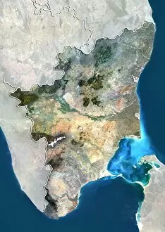
Background imageBoundaries Collection: Tamil Nadu, India, satellite image

Tamil Nadu, India, satellite image
Tamil Nadu, India. North is at top. Natural colour satellite image showing the state of Tamil Nadu, India, with the surrounding states shaded out. India is located in South Asia

Background imageBoundaries Collection: Gujarat, India, satellite image

Gujarat, India, satellite image
Gujarat, India. North is at top. Natural colour satellite image showing the state of Gujarat, India, with the surrounding states shaded out. India is located in South Asia

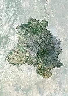
Background imageBoundaries Collection: Delhi, India, satellite image

Delhi, India, satellite image
Delhi, India. North is at top. Natural colour satellite image showing the National Capital Territory of Delhi, India, with the surrounding states shaded out. India is located in South Asia

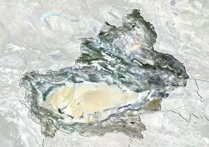
Background imageBoundaries Collection: Xinjiang, China, satellite image

Xinjiang, China, satellite image
Xinjiang, China. North is at top. Natural colour satellite image showing the Xinjiang region of China, with the surrounding Chinese provinces and regions shaded out

Background imageBoundaries Collection: Flanders, Belgium, satellite image

Flanders, Belgium, satellite image
Flanders, Belgium. North is at top. Natural colour satellite image showing the Flemish region of Belgium, with the surrounding regions shaded out

Background imageBoundaries Collection: Hainan, China, satellite image

Hainan, China, satellite image
Hainan, China. North is at top. Natural colour satellite image showing Hainan Island off the coast of China (top). Hainan is located in the South China Sea (blue)

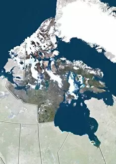
Background imageBoundaries Collection: Nunavut, Canada, satellite image

Nunavut, Canada, satellite image. North is at top. Natural colour satellite image showing the Canadian province of Nunavut

Background imageBoundaries Collection: Tocantins, Brazil, satellite image

Tocantins, Brazil, satellite image
Amazonas, Brazil. North is at top. Natural colour satellite image showing the state of Tocantins in Brazil, with the surrounding states shaded out

Background imageBoundaries Collection: Alberta, Canada, satellite image

Alberta, Canada, satellite image
Alberta, Canada. North is at top. Natural colour satellite image showing the Canadian province of Alberta with the surrounding provinces and territories shaded out

Background imageBoundaries Collection: Mexico State, Mexico, satellite image

Mexico State, Mexico, satellite image
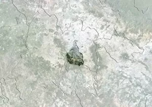
Mexico City, satellite image. North is at top. Natural colour satellite image showing the state of Mexico City, Mexico, with the surrounding Mexican states shaded out

Background imageBoundaries Collection: Mexico State, Mexico, satellite image C014 / 0071

Mexico State, Mexico, satellite image C014 / 0071
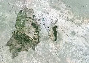
Mexico City, satellite image. North is at top. Natural colour satellite image showing the state of Mexico City, Mexico, with the surrounding Mexican states shaded out

Background imageBoundaries Collection: Chihuahua, Mexico, satellite image

Chihuahua, Mexico, satellite image
Chihuahua, satellite image. North is at top. Natural colour satellite image showing the state of Chihuahua, Mexico, with the surrounding Mexican states shaded out

Background imageBoundaries Collection: Italy, satellite image C014 / 0065

Italy, satellite image C014 / 0065
Italy, satellite image. North is at top. Natural colour satellite image showing Italy divided into its 20 regions. Italy is located in south-central Europe and is bordered by France (upper left)

Background imageBoundaries Collection: Lower Saxony, Germany, satellite image

Lower Saxony, Germany, satellite image
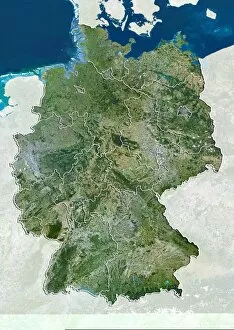
Lower Saxony, satellite image. North is at top. Natural colour satellite image showing the state of Lower Saxony, Germany, with the surrounding German states shaded out

Background imageBoundaries Collection: Madhya Pradesh, India, satellite image

Madhya Pradesh, India, satellite image
Madhya Pradesh, satellite image. North is at top. Natural colour satellite image showing the state of Madhya Pradesh, India, with the surrounding Indian states shaded out

Background imageBoundaries Collection: Tibet, China, satellite image

Tibet, China, satellite image
Tibet, satellite image. North is at top. Natural colour satellite image showing the Tibet Autonomous Region (Tibet), with the surrounding Chinese provinces and regions shaded out

Background imageBoundaries Collection: Quebec, Canada, satellite image

Quebec, Canada, satellite image
Quebec, satellite image. North is at top. Natural colour satellite image showing the predominantly French-speaking Canadian province of Quebec

Background imageBoundaries Collection: Amazonas, Brazil, satellite image

Amazonas, Brazil, satellite image
Amazonas, satellite image. North is at top. Natural colour satellite image showing the state of Amazonas in Brazil, with the surrounding states shaded out

Background imageBoundaries Collection: Upper Austria, Austria, satellite image

Upper Austria, Austria, satellite image
Upper Austria, satellite image. Natural colour satellite image showing the state (Bundeslander) of Upper Austria in Austria, with the surrounding states: Lower Austria, Styria, and Salzburg

Background imageBoundaries Collection: Buenos Aires, Argentina, satellite image

Buenos Aires, Argentina, satellite image
Buenos Aires, satellite image. North is at top. Natural colour satellite image showing Buenos Aires in Argentina, with the countrys other provinces shaded out

Background imageBoundaries Collection: Small limestone-walled old fields on Inisheer the Burren, western Eire

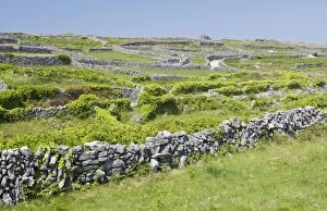
Small limestone-walled old fields on Inisheer the Burren, western Eire
ROG-13982 Small limestone-walled old fields on Inisheer the Burren western Eire Bob Gibbons contact details: prints@ardea.com tel: +44 (0) 20 8318 1401

Background imageBoundaries Collection: King Alfred defines the county boundaries

King Alfred defines the county boundaries
King Alfred the Great devises administrative reforms, redefining the division of England into Counties, Hundreds and Tithings Date: Circa 885

Background imageBoundaries Collection: King Alfreds administrative reforms

King Alfreds administrative reforms
King Alfred the Great introduces administrative reforms, redefining county boundaries and introducing a law code Date: Circa 885

Background imageBoundaries Collection: Six meter set a side strip on Suffolk farmland

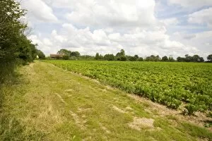
Six meter set a side strip on Suffolk farmland

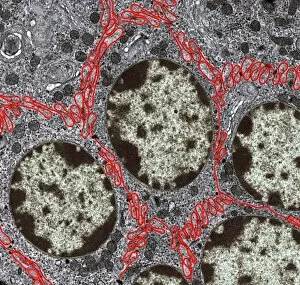
Background imageBoundaries Collection: Liver cells, TEM

Liver cells, TEM
Liver cells. Coloured transmission electron micrograph (TEM) of cells in a liver, showing their tessellating boundaries (red) and nuclei (beige). Magnification: x9000 when printed 10 centimetres wide

Background imageBoundaries Collection: Agricultural landscape, Yorkshire Dales

Agricultural landscape, Yorkshire Dales, England. This landscape, at Malham, shows fields of different ages, separated by stone walls. Photographed in May


All Professionally Made to Order for Quick Shipping

"Exploring Boundaries: Tracing the Historical Imprints of Scotland's Borders" This captivating satellite image showcases the intricate boundaries that define Scotland, UK. From the iconic London arms and seals to a fascinating map of Europe in 1360, these hints unravel a tale of territorial demarcations. Delving deeper into history, we discover an intriguing map depicting Westerham and Eatonbridge Hundred with the Parish and Ville of Brasted. This ancient document reveals how they were meticulously defined even centuries ago. The tradition of "Beating the Bounds Boats" comes alive through vivid images from 1930, where communities gathered to mark their territory along rivers and coastlines. These rituals symbolized unity while reinforcing geographical limits. They have always been subject to change as demonstrated by a passionate demonstration aiming to keep Horley and Charlwood within Surrey's embrace. The fence lining a country road serves as a reminder that borders can shape landscapes both physically and socially. Traveling back in time, we explore Victorian maps showcasing Great Marlow, Windsor, and Abingdon in 1832. These intricately detailed documents provide insights into how boundaries evolved over time while preserving historical landmarks. In this journey through space and time, we witness how they have shaped our world – defining nations, cultures, traditions – yet also reminding us that they are not fixed but constantly evolving reflections of human endeavors.