
British Isles Collection
The British Isles, a land steeped in history and natural beauty, captivates the imagination with its rich tapestry of cultures and landscapes


All Professionally Made to Order for Quick Shipping
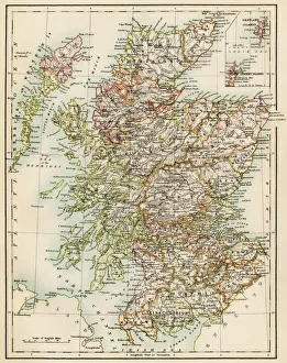
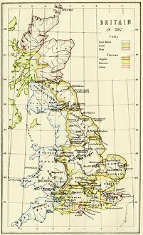
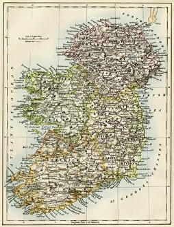
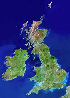
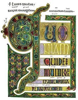
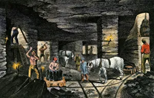
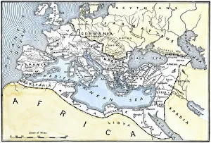
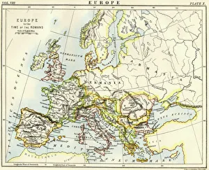
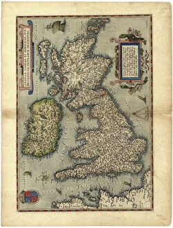
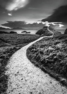
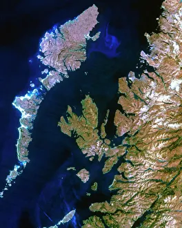
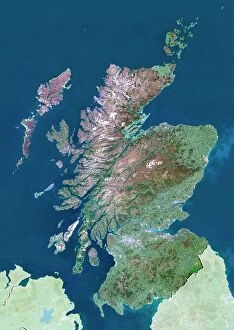
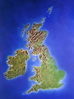
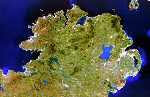
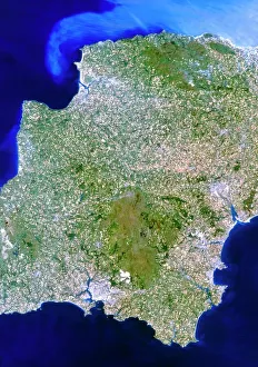
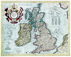
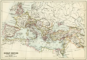
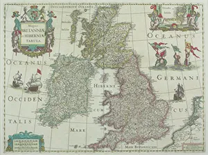
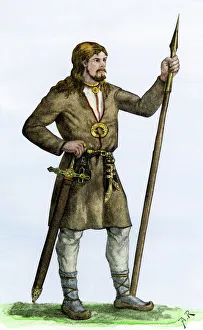
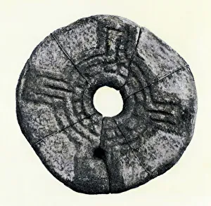
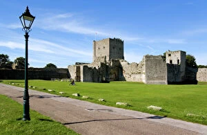
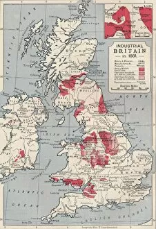
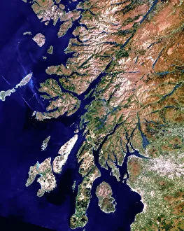
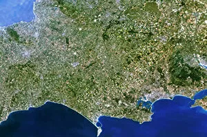
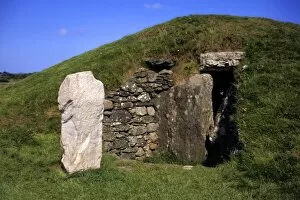
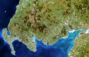
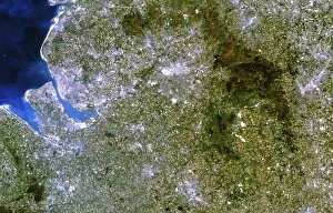
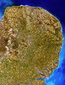
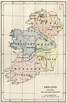
The British Isles, a land steeped in history and natural beauty, captivates the imagination with its rich tapestry of cultures and landscapes. From the intricate illustrations of St. Matthew in the Book of Kells to the detailed maps showcasing Scotland's evolution in the 1870s, every corner tells a story. Travel back in time as you explore Britain's past through a map depicting its shape in 597 AD. Witness Ireland's historical journey alongside it, beautifully portrayed on a map from the same era. And for an awe-inspiring perspective, gaze upon a satellite image capturing the entirety of these enchanting isles. Delve into ancient manuscripts like the Lindisfarne Gospels page, where artistry intertwines with spirituality. Marvel at how Europe was shaped under Roman rule by examining maps illustrating their vast empire's reach. Yet not all tales are told through ink and parchment alone; venture underground to witness England's coal mine during its industrial heyday in the 1850s. Or soar above Scotland with a modern satellite image that showcases its breathtaking landscapes from an entirely new vantage point. Immerse yourself further into history by exploring a meticulously crafted 16th-century map of these lands - each detail carefully etched to guide adventurers across this diverse realm. And finally, let your eyes rest upon Llanddwyn Island Lighthouse perched gracefully on Anglesey off Wales' coast - serving as both beacon and symbol for those navigating life’s turbulent waters. The British Isles beckon us with their stories etched deep within their soil and whispered through centuries-old winds. Let us embark on this captivating journey together – where legends come alive amidst stunning vistas that will forever leave an indelible mark on our souls.