
Land Use Collection (page 2)
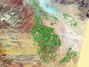
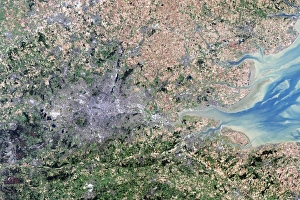
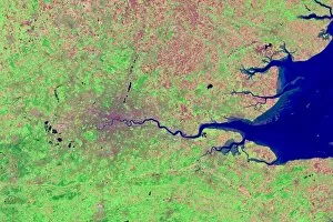
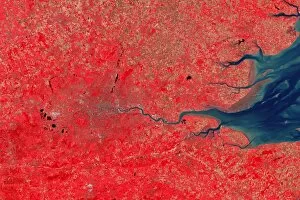
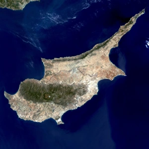
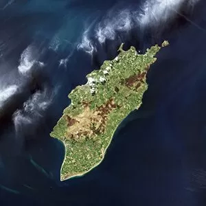
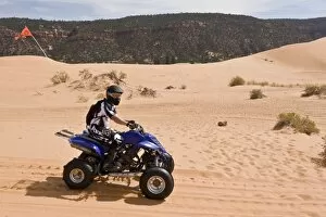
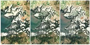
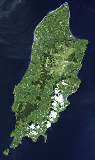
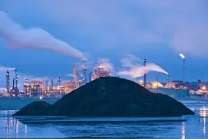
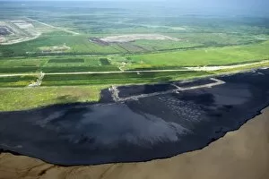
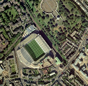
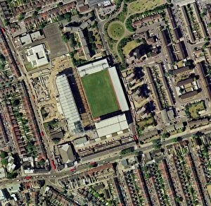
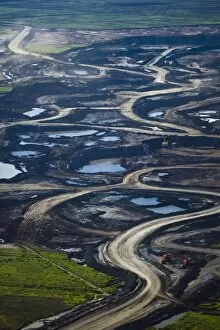
"Exploring the diverse tapestry of land use: from the iconic Wimbledon tennis complex in the UK, where sports and leisure meet on carefully maintained grounds


All Professionally Made to Order for Quick Shipping
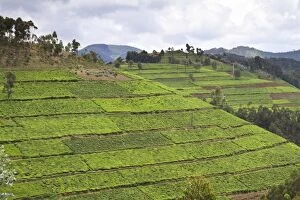
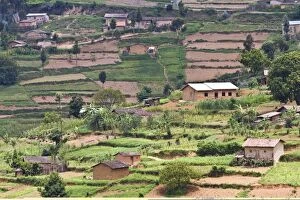
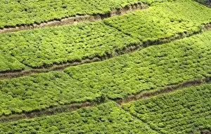
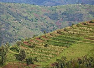
"Exploring the diverse tapestry of land use: from the iconic Wimbledon tennis complex in the UK, where sports and leisure meet on carefully maintained grounds, to the majestic Stirling Castle in Scotland overlooking a landscape shaped by centuries of human settlement. Witnessing agricultural marvels like a combine harvester off-loading grain, showcasing how modern technology aids efficient land utilization. Amidst bustling cities lies Newcastle United's St James Park Stadium, an urban oasis blending recreation with city life. Nature's wonders also take center stage as we encounter Highland cows grazing peacefully amidst rolling Scottish hills and charming Angora goats showcasing their luxurious fleece. The vibrant presence of roosters and hens reminds us of sustainable farming practices that rely on responsible land management. Delving into culinary delights, we discover parsnips thriving in fertile soil; Pastinaca Tender and True variety offering a tantalizing taste experience. In contrast to nature's bounty, an oil refinery at night illuminates industrial landscapes shaped by mankind's pursuit of energy resources. Embracing equine beauty, we are captivated by the gracefulness of Highland ponies galloping freely across vast meadows while Hereford cows symbolize traditional livestock farming methods passed down through generations. And finally, meeting llamas who have found their niche in various roles from companionship to wool production. " In this captivating journey through different facets of land use, one thing becomes clear - our relationship with the earth is multifaceted and ever-evolving. From sporting arenas to natural habitats and everything in between, each corner holds its own story within this intricate web woven by humans and nature alike.