Fraud Blocker Skip to main content

Landmass Collection (page 4)

"Exploring the Dynamic World: Unveiling the Mysteries of Landmass" Embarking on a journey through time and space

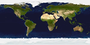
Background imageLandmass Collection: Detailed satellite view of Earth

Detailed satellite view of Earth

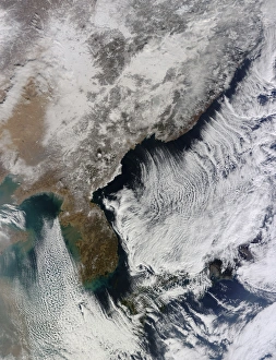
Background imageLandmass Collection: Cloud streets in the Sea of Japan and Yellow Sea

Cloud streets in the Sea of Japan and Yellow Sea
January 9, 2014 - Cloud streets in the Sea of Japan and Yellow Sea

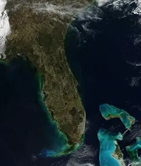
Background imageLandmass Collection: Satellite view of Florida

Satellite view of Florida
February 17, 2014 - Satellite view of Florida

Background imageLandmass Collection: Satellite view of Eastern Canada

Satellite view of Eastern Canada
April 15, 2011 - Satellite view of Eastern Canada

Background imageLandmass Collection: Satellite view of Central India

Satellite view of Central India
January 12, 2011 - Satellite view of Central India

Background imageLandmass Collection: Satellite view of most of the South Island of New Zealand

Satellite view of most of the South Island of New Zealand
December 22, 2009 - View of most of the South Island of New Zealand. The Southern Alps, the range that divides the South Island, are covered with snow though it is summer in the southern hemisphere
Background imageLandmass Collection: The Queen Elizabeth Islands

The Queen Elizabeth Islands
August 27, 2009 - The Queen Elizabeth Islands, located in northern Canada. In this image, much of the ice is broken up and blue water is visible, as well as brown terrain

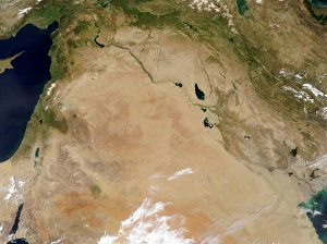
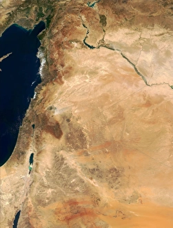
Background imageLandmass Collection: Satellite view of the Middle East

Satellite view of the Middle East
May 4, 2003 - Deserts stretch across the Middle East in shades of tan, pink, and orange, while green foothills, mountains, and plains mark their edges

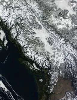
Background imageLandmass Collection: British Columbia

British Columbia
June 3, 2009 - British Columbia

Background imageLandmass Collection: Fires and smoke in southeast Australia

Fires and smoke in southeast Australia
January 11, 2007 - Fires and smoke in southeast Australia

Background imageLandmass Collection: Eruption of Mt. Etna in Sicily

Eruption of Mt. Etna in Sicily
November 24, 2006 - Eruption of Mt. Etna in Sicily

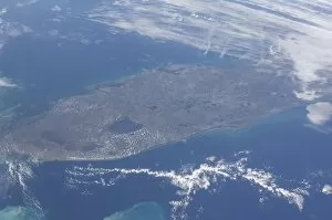
Background imageLandmass Collection: View from space of the Florida peninsula

View from space of the Florida peninsula
January 1, 2012 - View from space of the Florida peninsula. Cape Canaveral and the Kennedy Space Center are near frame center. The Gulf of Mexico is in the top portion of the photo

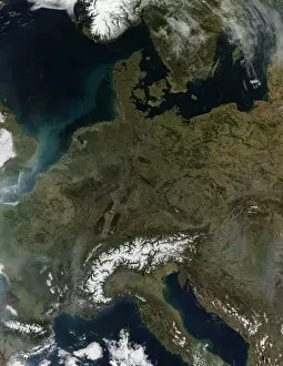
Background imageLandmass Collection: Satellite view of Central Europe

Satellite view of Central Europe
March 12, 2014 - Satellite view of Central Europe

Background imageLandmass Collection: Satellite view of full Earth showing a powerful winter storm

Satellite view of full Earth showing a powerful winter storm
February 13, 2014 - Satellite view of full Earth showing a powerful winter storm battering Mid-Atlantic and New England areas of the United States

Background imageLandmass Collection: Satellite view of the Mergui Archipelago showing Auckland and Whale Bays

Satellite view of the Mergui Archipelago showing Auckland and Whale Bays
December 14, 2004 - Satellite view of the Mergui Archipelago showing Auckland and Whale Bays. The archipelago in the Andaman Sea is made up of more than 800 islands surrounded by extensive coral

Background imageLandmass Collection: Snow cover across the northeastern United States

Snow cover across the northeastern United States
March 9, 2013 - Snow cover across the northeastern United States, stretching from West Virginia into Canada, and from the western shore of Lake Ontario to the Atlantic Ocean

Background imageLandmass Collection: Satellite view of snow in Italy

Satellite view of snow in Italy
February 24, 2012 - Satellite view of snow in Italy

Background imageLandmass Collection: Central Europe

Central Europe
September 1, 2009 - Central Europe

Background imageLandmass Collection: Dust and clouds hovered over the Taklimakan Desert

Dust and clouds hovered over the Taklimakan Desert
June 9, 2009 - Dust and clouds hover over the Taklimakan Desert. The dust forms a hazy veil over the desert, especially along its northwestern margin

Background imageLandmass Collection: Cloud coverage over the United States and Atlantic Ocean

Cloud coverage over the United States and Atlantic Ocean
February 2, 2014 - Satellite view of cloud coverage over the continental United States and Atlantic Ocean

Background imageLandmass Collection: Full Earth from space above the African continent

Full Earth from space above the African continent

Background imageLandmass Collection: Satellite view of the Republic of Turkey covered by snow

Satellite view of the Republic of Turkey covered by snow
January 13, 2002 - The predominantly mountainous terrain of the Republic of Turkey covered by snow. The snow-laced peaks of the Kure Daglari mountain range in the north can be seen as they range

Background imageLandmass Collection: Southeastern Asia

Southeastern Asia
November 30, 2001 - Southeastern Asia. The image focuses on the countries of Myanmar, Thailand, Laos, Cambodia, and Vietnam, left to right respectively

Background imageLandmass Collection: Dust storm in Iran

Dust storm in Iran
January 23, 2010 - Pale tan dust billows over the Dasht-e Lut, a large salt desert in eastern Iran. The dust storm blows across the southern desert

Background imageLandmass Collection: Cloud streets in the Gulf of Mexico

Cloud streets in the Gulf of Mexico

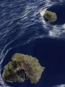
Background imageLandmass Collection: Satellite view of the Prince Edward Islands

Satellite view of the Prince Edward Islands
May 5, 2009 - A dusting of ice graced the summit of Marion Island in early May 2009 as waves breaking against the islands shore formed a broken perimeter of white

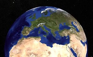
Background imageLandmass Collection: The Blue Marble Next Generation Earth showing the Mediterranean Sea

The Blue Marble Next Generation Earth showing the Mediterranean Sea
The Blue Marble Next Generation data set provides a monthly global cloud-free true-color picture of the Earths landcover at a 500-meter spatial resolution

Background imageLandmass Collection: Satellite view of North Central Europe

Satellite view of North Central Europe
August 11, 2003 - Satellite view of North Central Europe

Background imageLandmass Collection: Satellite image of the northern Philippines

Satellite image of the northern Philippines, showing the island of Luzon and the Cagayan River running in the plains between the Sierra Madre mountain range on the northeast Coast

Background imageLandmass Collection: Satellite view of the Tibetan Plateau

Satellite view of the Tibetan Plateau
November 10, 2010 - Satellite view of the Tibetan Plateau. Resembling bits of abalone shell, the lakes glimmer in assorted jewel tones

Background imageLandmass Collection: The lands of Israel along the eastern shore of the Mediterranean Sea

The lands of Israel along the eastern shore of the Mediterranean Sea
September 10, 2000 - This true-color image shows the lands of Israel along the eastern shore of the Mediterranean Sea, with the countries of Jordan to the southeast and Syria to the Northeast

Background imageLandmass Collection: Artists depiction of the difference in size between Earth and Kepler 22b

Artists depiction of the difference in size between Earth and Kepler 22b
An artists depiction of the difference in size between Earth and Kepler 22b. Orbiting the star Kepler 22 in the constellation Cygnus, the planet is in a zone that might contain liquid water

Background imageLandmass Collection: The Blue Marble: Land Surface, Ocean Color and Sea Ice

The Blue Marble: Land Surface, Ocean Color and Sea Ice. This spectacular blue marble image is the most detailed true-color image of the entire Earth to date

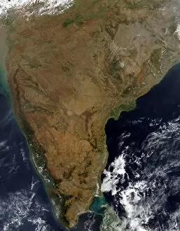
Background imageLandmass Collection: Satellite view of Southern India

Satellite view of Southern India
January 31, 2003 - Southern India. The Eastern Ghats are visible along Indias Indian Ocean coast (right), and the Western Ghat Mountains are visible on Indias Arabian Sea coast (left)

Background imageLandmass Collection: Southeastern United States

Southeastern United States
December 20, 2004 - Southeastern United States. In the upper right corner of the image, the lower reaches of the Appalachian Mountains in Tennessee and North Carolina are dusted with snow

Background imageLandmass Collection: The summer thaw around Ellesmere Island, Canada, and northwest Greenland

The summer thaw around Ellesmere Island, Canada, and northwest Greenland
Satellite view showing the summer thaw around Ellesmere Island, Canada, (west) and northwest Greenland (east). As summer progression, the snow retreats from the coastlines, exposing the bare

Background imageLandmass Collection: Fog and snow in British Columbia

Fog and snow in British Columbia
February 21, 2010 - True-color view of fog and snow in British Columbia

Background imageLandmass Collection: True-color satellite view of central Athens, Greece

True-color satellite view of central Athens, Greece
July 2, 2004 - True-color image of central Athens, Greece. Main roads run mostly northeast-southwest through this part of the city, and side streets divide densely packed buildings

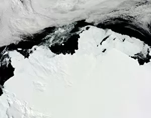
Background imageLandmass Collection: The Queen Mary Coast of Antarctica

The Queen Mary Coast of Antarctica
February 15, 2010 - The Queen Mary Coast of Antarctica. The Queen Mary Coast borders the Davis Sea and lies south of Australia. Across the top of the image is a bank of clouds

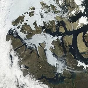
Background imageLandmass Collection: The Northwest Passage

The Northwest Passage
August 27, 2009 - Ice clogged some but not all of the Northwest Passage, and snow had retreated from most of the islands in the Canadian Arctic Archipelago

Background imageLandmass Collection: Satellite view of the Persian Gulf

Satellite view of the Persian Gulf

Background imageLandmass Collection: Kamchatka Peninsula, Eastern Russia

Kamchatka Peninsula, Eastern Russia
January 14, 2009 - Kamchatka Peninsula, Eastern Russia

Background imageLandmass Collection: Satellite view of Honolulu, Oahu, Hawaii

Satellite view of Honolulu, Oahu, Hawaii
March 18, 2001 - Satellite view of Honolulu, Oahu, Hawaii. On the bottom lefthand side of the image is Pearl Harbor. Just to the East of Honolulu is Waikiki Beach

Background imageLandmass Collection: A partial view of Earth showing Australia and the Great Barrier Reef

A partial view of Earth showing Australia and the Great Barrier Reef
A clear view of the southern Great Barrier Reef, salt pans in the Australian desert, and sunglint patterns in the Bismarck Sea

Background imageLandmass Collection: A view of the Caribbean island of Hispaniola from the International Space Station

A view of the Caribbean island of Hispaniola from the International Space Station
September 28, 2009 - A view of the Caribbean island of Hispaniola from the International Space Station. This island is comprised of Haiti (in the center left of the image)

Background imageLandmass Collection: The Mozambique coast

The Mozambique coast
May 15, 2009 - The Mozambique coast

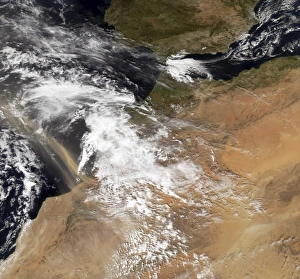
Background imageLandmass Collection: Dust plumes off the Moroccan coast

Dust plumes off the Moroccan coast
February 10, 2008 - Dust plumes hundreds of kilometers long blow off the Moroccan coast. This satellite view captured the dust plumes mixing with clouds over the Atlantic Ocean the same day

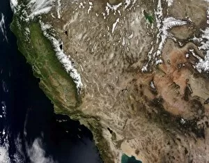
Background imageLandmass Collection: Southwestern United States

Southwestern United States


All Professionally Made to Order for Quick Shipping

"Exploring the Dynamic World: Unveiling the Mysteries of Landmass" Embarking on a journey through time and space, we delve into the captivating phenomenon of continental drift. Through intricate diagrams, we witness the majestic dance of tectonic plates shaping our planet's landmasses. From a satellite view high above New Zealand, we marvel at its unique landforms that bear witness to millions of years of continental movement. The rugged beauty tells tales of ancient collisions and separations. Venturing to England's Northumberland, we encounter an extraordinary creation named Northumberlandia – a colossal sculpture embodying the very essence transformation. Its undulating curves pay homage to nature's ever-changing forms. Turning pages in history, we stumble upon intriguing accounts like Osnabrug Island bearing testimony to explorers' navigational prowess as they charted unknown territories with precision and skill. Ink-stained records reveal glimpses of unidentified islands waiting for their stories to be unraveled. With compass bearings guiding their way, intrepid adventurers set forth towards uncharted horizons. The enchanting profile etched onto paper unveils St. Jago, one among Cape Verde Islands – an exquisite testament to how landmasses emerge from volcanic origins and evolve over eons under nature's watchful eye. A vibrant map takes us back centuries ago when cartographers meticulously depicted Crete's splendorous contours in vivid colors - capturing both its geographical significance and cultural heritage within a single frame. Stepping into Matavai Bay in Otaheite (now Tahiti), brushstrokes bring alive Captain Cook's expedition as he encountered new lands amidst turquoise waters - forever altering our understanding of distant shores. Finally, gazing upon the Isle of Mayo off Cape Verde Islands' coast reveals yet another captivating coastal profile that has witnessed countless waves crashing against its rocky cliffs throughout time immemorial. Landmasses hold secrets untold, their ever-changing nature a testament to the dynamic forces shaping our world.