
Mumby Collection
"Mumby: A Glimpse into the Turmoil of World War I" Step back in time and explore the tumultuous era of the First World War through a collection of captivating images


All Professionally Made to Order for Quick Shipping
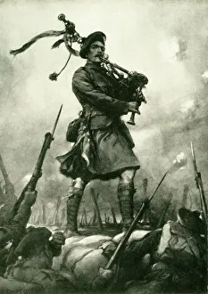
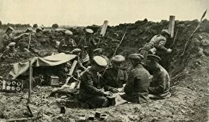
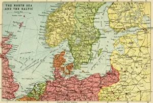
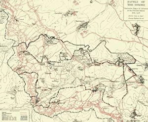
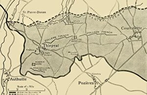
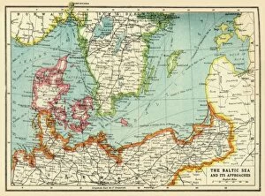
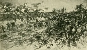
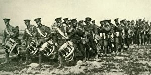
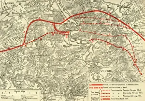
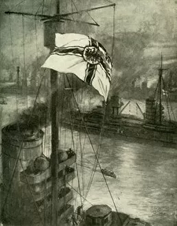
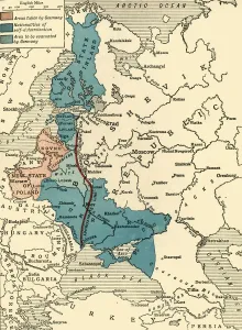
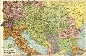
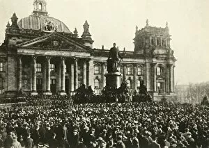
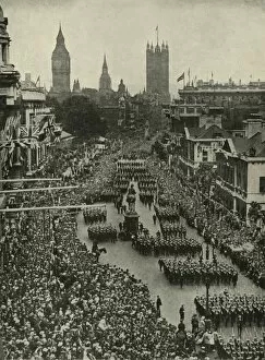
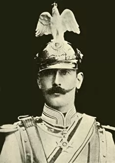
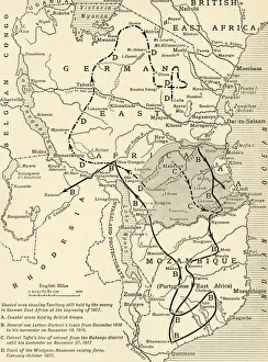
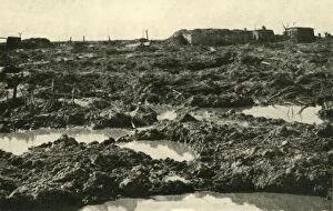
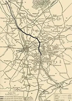
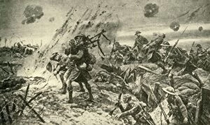
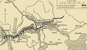
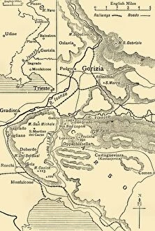
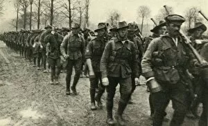
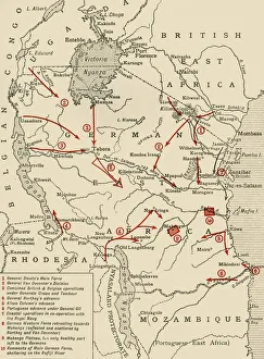
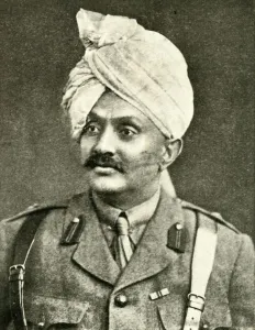
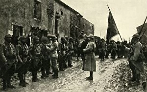
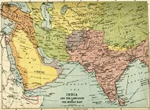
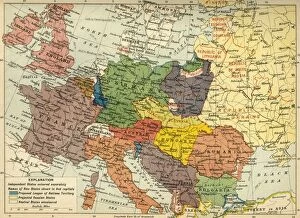
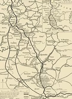
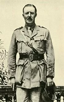
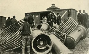
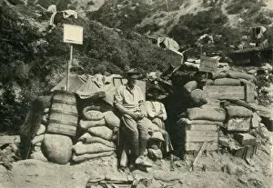
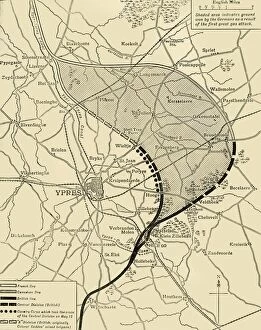
"Mumby: A Glimpse into the Turmoil of World War I" Step back in time and explore the tumultuous era of the First World War through a collection of captivating images. Delve into history with a map showcasing Suvla Bay on the Gallipoli peninsula, where brave soldiers fought valiantly in 1915. Witness their unwavering determination etched onto their faces as they engage in a game of cards amidst the trenches during this trying period. Embark on an expedition across treacherous waters with a detailed map depicting the North Sea and Baltic regions, crucial strategic points during this global conflict. Discover how Piper Laidlaw's extraordinary bravery earned him the prestigious Victoria Cross on September 25, 1915, forever immortalizing his heroism. Feel your heart race as you witness "First Blood" being shed in one of history's most infamous battles - The Battle of Somme. On July 1st, 1916, countless lives were lost but not forgotten; their sacrifice serves as a poignant reminder of human resilience. Marvel at another significant battleground - Thiepval Ridge - where British forces made significant gains in 1916. Immerse yourself further into this harrowing narrative by joining British soldiers stationed along France's Western Front during that fateful year. Witness yet another chapter unfold before your eyes as positions are marked out for battle at Verdun, Northern France. Feel the weight of history upon your shoulders as you grasp just how much was sacrificed to secure victory. Explore naval strategies and engagements with an intricate depiction of The Baltic Sea and Its Approaches from c1915 – reminding us that war extended far beyond land-based conflicts. Finally, bask in triumph alongside Allied forces when German Fleet surrendered against a backdrop painted by sunset on November 21st, 1918. As we journey through these snapshots frozen in time, let us remember those who fought, sacrificed, and shaped the course of history.