Fraud Blocker Skip to main content

Region Collection (page 10)

Explore the captivating world of regions through a journey across time and space

Background imageRegion Collection: 1870 Colton Pocket Map Of Texas Topography Cartography

1870 Colton Pocket Map Of Texas Topography Cartography
1870, Colton Pocket Map of Texas

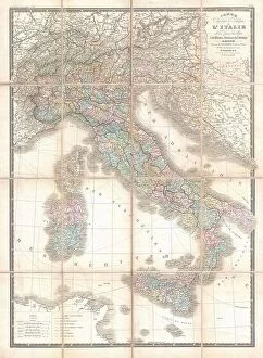
Background imageRegion Collection: 1870 Brue And Levasseur Pocket Map Of Italy Topography

1870 Brue And Levasseur Pocket Map Of Italy Topography
1870, Brue and Levasseur Pocket Map of Italy

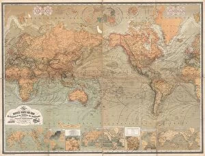
Background imageRegion Collection: 1870 Baur And Bromme Map Of The World On Mercator Projection

1870 Baur And Bromme Map Of The World On Mercator Projection
1870, Baur and Bromme Map of the World on Mercator Projection

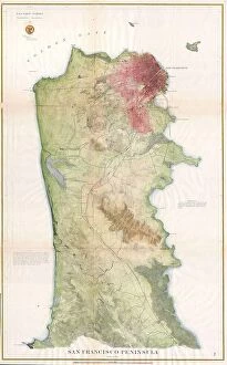
Background imageRegion Collection: 1869 U.S. Coast Survey Map Of The San Francisco Peninsula

1869 U.S. Coast Survey Map Of The San Francisco Peninsula
1869, U.S. Coast Survey Map of the San Francisco Peninsula

Background imageRegion Collection: 1869 U.S.C.S. Map Of The San Francisco Peninsula

1869 U.S.C.S. Map Of The San Francisco Peninsula
1869, U.S.C.S. Map of the San Francisco Peninsula

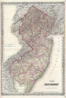
Background imageRegion Collection: 1868 Colton Map Of New Jersey Topography Cartography

1868 Colton Map Of New Jersey Topography Cartography
1868, Colton Map of New Jersey

Background imageRegion Collection: 1869 Kitchen Shannon Map Of New York City Topography

1869 Kitchen Shannon Map Of New York City Topography
1869, Kitchen Shannon Map of New York City

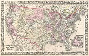
Background imageRegion Collection: 1867 Mitchell Map Of The United States Topography

1867 Mitchell Map Of The United States Topography
1867, Mitchell Map of the United States

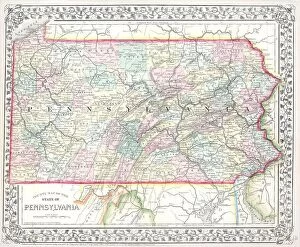
Background imageRegion Collection: 1867 Mitchell Map Of Pennsylvania Topography

1867 Mitchell Map Of Pennsylvania Topography
1867, Mitchell Map of Pennsylvania

Background imageRegion Collection: 1867 Johnson Map Of England And Wales Topography

1867 Johnson Map Of England And Wales Topography
1867, Johnson Map of England and Wales

Background imageRegion Collection: 1867 Mitchell Map Of New York State Topography

1867 Mitchell Map Of New York State Topography
1867, Mitchell Map of New York State

Background imageRegion Collection: 1867 Colton Pocket Map Of New York City And Brooklyn

1867 Colton Pocket Map Of New York City And Brooklyn
1867, Colton Pocket Map of New York City and Brooklyn

Background imageRegion Collection: 1867 Johnson Map Of Asia Topography Cartography

1867 Johnson Map Of Asia Topography Cartography
1867, Johnson Map of Asia

Background imageRegion Collection: 1866 U.S. Coast Survey Nautical Chart Of Map Of New York City And Harbor

1866 U.S. Coast Survey Nautical Chart Of Map Of New York City And Harbor
1866, U.S. Coast Survey Nautical Chart of Map of New York City and Harbor

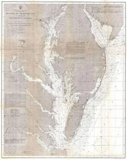
Background imageRegion Collection: 1866 U.S. Coast Survey Map Of The Chesapeake Bay And Delaware Bay

1866 U.S. Coast Survey Map Of The Chesapeake Bay And Delaware Bay
1866, U.S. Coast Survey Map of the Chesapeake Bay and Delaware Bay

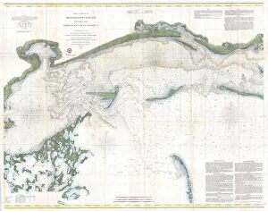
Background imageRegion Collection: 1866 U.S. Coast Survey Chart Or Map Of The Mississippi Sound

1866 U.S. Coast Survey Chart Or Map Of The Mississippi Sound
1866, U.S. Coast Survey Chart or Map of the Mississippi Sound, Western Part

Background imageRegion Collection: 1866 U.S. Coast Survey Chart Or Map Of San Francisco Bay

1866 U.S. Coast Survey Chart Or Map Of San Francisco Bay
1866, U.S. Coast Survey Chart or Map of San Francisco Bay

Background imageRegion Collection: 1866 U.S. Coast Survey Chart Of The South Carolina Coast

1866 U.S. Coast Survey Chart Of The South Carolina Coast
1866, U.S. Coast Survey Chart of the South Carolina Coast, Charleston to St. Helena Bay

Background imageRegion Collection: 1866 Mitchell Map Of Washington D.C. Topography

1866 Mitchell Map Of Washington D.C. Topography
1866, Mitchell Map of Washington D.C.

Background imageRegion Collection: 1866 Mitchell Map Of The World On Mercator Projection

1866 Mitchell Map Of The World On Mercator Projection
1866, Mitchell Map of the World on Mercator Projection

Background imageRegion Collection: 1866 Mitchell Map Of The United States Topography

1866 Mitchell Map Of The United States Topography
1866, Mitchell Map of the United States

Background imageRegion Collection: 1866 Mitchell Map Of Utah And Nevada Topography

1866 Mitchell Map Of Utah And Nevada Topography
1866, Mitchell Map of Utah and Nevada

Background imageRegion Collection: 1866 Mitchell Map Of New York City And Brooklyn

1866 Mitchell Map Of New York City And Brooklyn
1866, Mitchell Map of New York City and Brooklyn

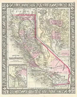
Background imageRegion Collection: 1866 Mitchell Map Of California Topography Cartography

1866 Mitchell Map Of California Topography Cartography
1866, Mitchell Map of California

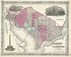
Background imageRegion Collection: 1866 Johnson Map Of Washington D.C. Topography

1866 Johnson Map Of Washington D.C. Topography
1866, Johnson Map of Washington D.C.

Background imageRegion Collection: 1866 Johnson Map Of The World In Hemispheres

1866 Johnson Map Of The World In Hemispheres
1866, Johnson Map of the World in Hemispheres

Background imageRegion Collection: 1866 Johnson Map Of Scotland And Ireland Topography

1866 Johnson Map Of Scotland And Ireland Topography
1866, Johnson Map of Scotland and Ireland

Background imageRegion Collection: 1866 Johnson Map Of Texas Topography Cartography

1866 Johnson Map Of Texas Topography Cartography
1866, Johnson Map of Texas

Background imageRegion Collection: 1866 Johnson Map Of Pennsylvania And New Jersey

1866 Johnson Map Of Pennsylvania And New Jersey
1866, Johnson Map of Pennsylvania and New Jersey

Background imageRegion Collection: 1866 Johnson Map Of North Carolina And South Carolina

1866 Johnson Map Of North Carolina And South Carolina
1866, Johnson Map of North Carolina and South Carolina

Background imageRegion Collection: 1866 Johnson Map Of New York City And Brooklyn

1866 Johnson Map Of New York City And Brooklyn
1866, Johnson Map of New York City and Brooklyn

Background imageRegion Collection: 1866 Johnson Map Of Kentucky And Tennessee Topography

1866 Johnson Map Of Kentucky And Tennessee Topography
1866, Johnson Map of Kentucky and Tennessee

Background imageRegion Collection: 1866 Johnson Map Of Holland And Belgium Topography

1866 Johnson Map Of Holland And Belgium Topography
1866, Johnson Map of Holland and Belgium

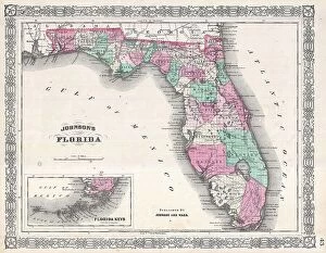
Background imageRegion Collection: 1866 Johnson Map Of Florida Topography Cartography

1866 Johnson Map Of Florida Topography Cartography
1866, Johnson Map of Florida

Background imageRegion Collection: 1866 Fornari Pocket Map Or Case Map Of Rome Italy

1866 Fornari Pocket Map Or Case Map Of Rome Italy
1866, Fornari Pocket Map or Case Map of Rome Italy

Background imageRegion Collection: 1865 U.S. Coast Survey Triangulation Map Of San Francisco Bay

1865 U.S. Coast Survey Triangulation Map Of San Francisco Bay
1865, U.S. Coast Survey Triangulation Map of San Francisco Bay

Background imageRegion Collection: 1866 Mitchell Map Of Texas Topography Cartography

1866 Mitchell Map Of Texas Topography Cartography
1866, Mitchell Map of Texas

Background imageRegion Collection: 1865 Spruner Map Of The World Under The Persian Empire

1865 Spruner Map Of The World Under The Persian Empire
1865, Spruner Map of the World under the Persian Empire

Background imageRegion Collection: 1865 U.S.C.S. Chart Or Map Of The Mississippi River Around Cairo Illinois

1865 U.S.C.S. Chart Or Map Of The Mississippi River Around Cairo Illinois
1865, U.S.C.S. Chart or Map of the Mississippi River around Cairo Illinois

Background imageRegion Collection: 1865 Spruner Map Of The World Under The Assyrian Empire

1865 Spruner Map Of The World Under The Assyrian Empire
1865, Spruner Map of the World under the Assyrian Empire

Background imageRegion Collection: 1865 Spruner Map Of The World After The Battle Of Corupedi

1865 Spruner Map Of The World After The Battle Of Corupedi
1865, Spruner Map of the World After the Battle of Corupedi

Background imageRegion Collection: 1866 Mitchell Map Of Mexico And The West Indies

1866 Mitchell Map Of Mexico And The West Indies
1866, Mitchell Map of Mexico and the West Indies

Background imageRegion Collection: 1866 Johnson Map Of Central America Topography

1866 Johnson Map Of Central America Topography
1866, Johnson Map of Central America

Background imageRegion Collection: 1865 U.S. Coast Survey Map Of The New England Coast

1865 U.S. Coast Survey Map Of The New England Coast
1865, U.S. Coast Survey Map of the New England Coast

Background imageRegion Collection: 1865 U.S.C.S. Map Of The Mississippi River Around Chester Illinois

1865 U.S.C.S. Map Of The Mississippi River Around Chester Illinois
1865, U.S.C.S. Map of the Mississippi River around Chester Illinois

Background imageRegion Collection: 1866 Johnson Map Of The West Indies And Caribbean

1866 Johnson Map Of The West Indies And Caribbean
1866, Johnson Map of the West Indies and Caribbean

Background imageRegion Collection: 1866 Johnson Map Of Prussia And Germany Topography

1866 Johnson Map Of Prussia And Germany Topography
1866, Johnson Map of Prussia and Germany

Background imageRegion Collection: 1866 Johnson Map Of New York City And Brooklyn

1866 Johnson Map Of New York City And Brooklyn
1866, Johnson Map of New York City and Brooklyn


All Professionally Made to Order for Quick Shipping

Explore the captivating world of regions through a journey across time and space. Step back to 1845, when the HMS Erebus and HMS Terror set sail on their ill-fated expedition in search of the Northwest Passage. These ships ventured into uncharted territories, braving treacherous waters and unknown lands. Fast forward to 1768, where James Craig's Map of New Town in Edinburgh showcases the birth of a new region. This meticulously crafted plan laid the foundation for an architectural masterpiece that still stands today. Travel eastward to Zahle in Lebanon, a region known for its rich history and vibrant culture. Nestled amidst picturesque landscapes, this enchanting place offers glimpses into ancient civilizations that once thrived here. Meet Captain Francis Crozier of HMS Terror, who fearlessly led his crew through icy Arctic waters. His unwavering determination embodies the spirit of exploration that defines regions yet untouched by human presence. Cast your eyes upon Orteliuss map from 1570, revealing the vast Ottoman Empire at its zenith. This intricate cartographic marvel provides insights into political boundaries and cultural diversity within this expansive region. Delve deeper into our own bodies with an artwork depicting the medulla oblongata in our brain - a vital region responsible for controlling essential functions like breathing and heartbeat. Journey back to ancient Greece with Delisle's Map from 1794, which unveils Southern Ancient Greece along with Greek Isles and Crete. Explore these historic regions teeming with myths, legends, and extraordinary tales waiting to be discovered. Witness London's Bedford Heavy Unit patrolling as part of NFS (London Region) during World War II. In this tumultuous era, regions played crucial roles in defending nations against external threats while fostering unity among communities within their borders. Marvel at an exquisite map showcasing Italy's diverse landscapes created by an unknown artist in 1902. From rolling hills adorned with vineyards to majestic coastlines, this region's beauty is truly unparalleled.