Fraud Blocker Skip to main content

Relief Map Collection (page 2)

"Exploring the World's Diverse Landscapes: A Journey through Relief Maps" Embark on a captivating journey as we delve into the fascinating world of relief maps

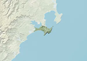
Background imageRelief Map Collection: Jervis Bay Territory, Australia, Relief Map

Jervis Bay Territory, Australia, Relief Map
Relief map of Jervis Bay Territory, Australia. This image was compiled from data acquired by LANDSAT 5 & 7 satellites combined with elevation data

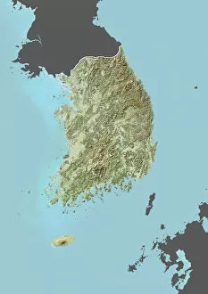
Background imageRelief Map Collection: South Korea, Relief Map with Border and Mask

South Korea, Relief Map with Border and Mask
Relief map of South Korea (with border and mask). This image was compiled from data acquired by landsat 5 & 7 satellites combined with elevation data

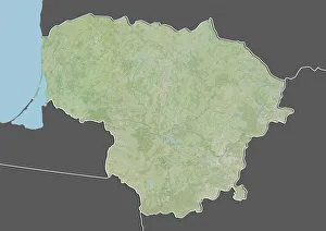
Background imageRelief Map Collection: Lithuania, Relief Map With Border and Mask

Lithuania, Relief Map With Border and Mask
Relief map of Lithuania (with border and mask). This image was compiled from data acquired by landsat 5 & 7 satellites combined with elevation data

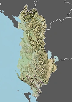
Background imageRelief Map Collection: Albania, Relief Map With Border and Mask

Albania, Relief Map With Border and Mask
Relief map of Albania (with border and mask). This image was compiled from data acquired by landsat 5 & 7 satellites combined with elevation data

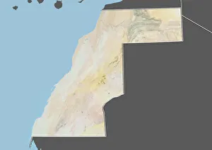
Background imageRelief Map Collection: Western Sahara, Relief Map with Border and Mask

Western Sahara, Relief Map with Border and Mask
Relief map of Western Sahara (with border and mask). This image was compiled from data acquired by landsat 5 & 7 satellites combined with elevation data

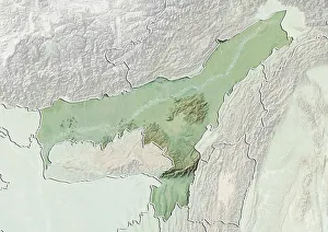
Background imageRelief Map Collection: State of Assam, India, Relief Map

State of Assam, India, Relief Map
Relief map of the State of Assam, India. This image was compiled from data acquired by LANDSAT 5 & 7 satellites combined with elevation data

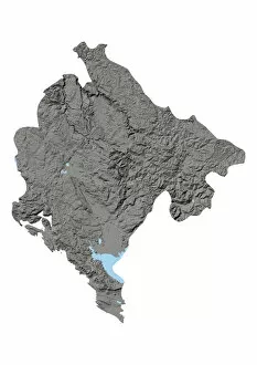
Background imageRelief Map Collection: Montenegro, Relief Map

Montenegro, Relief Map
Relief map of Montenegro. This map was processed from elevation data

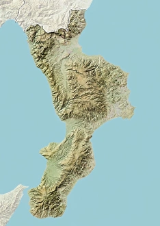
Background imageRelief Map Collection: Region of Calabria, Italy, Relief Map

Region of Calabria, Italy, Relief Map
Relief map of the region of Calabria, Italy. This image was compiled from data acquired by LANDSAT 5 & 7 satellites combined with elevation data

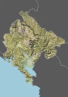
Background imageRelief Map Collection: Montenegro, Relief Map With Border and Mask

Montenegro, Relief Map With Border and Mask
Relief map of Montenegro (with border and mask). This image was compiled from data acquired by landsat 5 & 7 satellites combined with elevation data

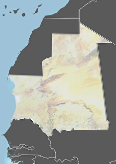
Background imageRelief Map Collection: Mauritania, Relief Map With Border and Mask

Mauritania, Relief Map With Border and Mask
Relief map of Mauritania (with border and mask). This image was compiled from data acquired by landsat 5 & 7 satellites combined with elevation data

Background imageRelief Map Collection: Guinea-Bissau, Satellite Image

Guinea-Bissau, Satellite Image
Satellite view of Guinea-Bissau. This image was compiled from data acquired by LANDSAT satellite

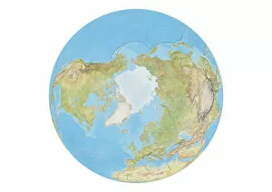
Background imageRelief Map Collection: Earth Globe Showing North Pole With Country Borders

Earth Globe Showing North Pole With Country Borders
This image shows the earth globe on white background with focus on North Pole, with country borders and ocean relief

Background imageRelief Map Collection: World map with Arctic ice pack and country borders

World map with Arctic ice pack and country borders
World map processed from Earth satellite imagery and elevation data combined with ocean shaded relief

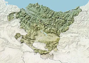
Background imageRelief Map Collection: Basque Country, Spain, Relief Map

Basque Country, Spain, Relief Map
Relief map of Basque Country, Spain. This image was compiled from data acquired by LANDSAT 5 & 7 satellites combined with elevation data

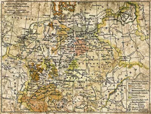
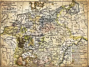
Background imageRelief Map Collection: Germany until the Thirty Years War. (1493-1618)

Germany until the Thirty Years War. (1493-1618)
Illustration of a Germany until the Thirty Years War. (1493-1618)

Background imageRelief Map Collection: Brasov man

Brasov man
Illustration of a Brasov map

Background imageRelief Map Collection: Antique map of Algeria and Tunisia

Antique map of Algeria and Tunisia
Illustration of a Antique map of Algeria and Tunisia

Background imageRelief Map Collection: Europe relief map 1875

Europe relief map 1875
The Independent Course Comprehensive Geography by James Monteith, A.S. Barnes & Co, New York & Chicago 1875

Background imageRelief Map Collection: South America relief map 1875

South America relief map 1875
The Independent Course Comprehensive Geography by James Monteith, A.S. Barnes & Co, New York & Chicago 1875

Background imageRelief Map Collection: North America relief map 1875

North America relief map 1875
The Independent Course Comprehensive Geography by James Monteith, A.S. Barnes & Co, New York & Chicago 1875

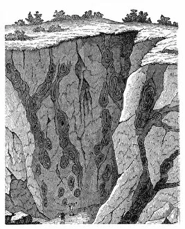
Background imageRelief Map Collection: Veins in limestone on Monte Calvi

Veins in limestone on Monte Calvi
Illustration of a Veins in limestone on

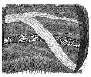
Background imageRelief Map Collection: Section of a terrain, double vein

Section of a terrain, double vein

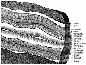
Background imageRelief Map Collection: Part of a Freiberg ore mine: sulphur, quartz, gneiss

Part of a Freiberg ore mine: sulphur, quartz, gneiss
Illustration of a Freiberg ore mine: sulphur, quartz, gneiss

Background imageRelief Map Collection: Section of a terrain

Section of a terrain, ramification and enforcement

Background imageRelief Map Collection: England and Wales

England and Wales
Antique map of England and Wales

Background imageRelief Map Collection: Antique map of Germany

Antique map of Germany from 1815

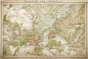
Background imageRelief Map Collection: Potsdam and environment

Potsdam and environment
Antique illustration of a Potsdam and environment

Background imageRelief Map Collection: Political outline map of Africa

Political outline map of Africa from 1898

Background imageRelief Map Collection: Germany 1547

Germany 1547
Antique map of Germany from 1547

Background imageRelief Map Collection: Germany

Germany
Antique map of Germany from 1648

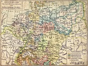
Background imageRelief Map Collection: Germany map from 1786

Germany map from 1786
Antique map of Germany from 1786

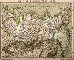
Background imageRelief Map Collection: Siberia outline map

Siberia outline map
Antique illustration of Siberia outline map

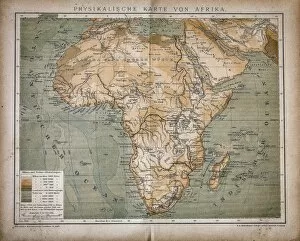
Background imageRelief Map Collection: Map of Africa

Map of Africa
Antique illustration of a map of Africa

Background imageRelief Map Collection: Equatorial Africa

Equatorial Africa
Antique illustration of a equatorial Africa

Background imageRelief Map Collection: Section of a terrain

Section of a terrain
Section of Freiberg with a symmetrical lay - out structure

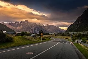
Background imageRelief Map Collection: The Scenery of Village in Mount Cook, New Zealand

The Scenery of Village in Mount Cook, New Zealand
The scenery of village in Mount Cook National Park from South Island New Zealand

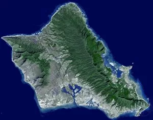
Background imageRelief Map Collection: Satellite image of Oahu, Hawaii

Satellite image of Oahu, Hawaii

Background imageRelief Map Collection: Topographic view of South America

Topographic view of South America
This image of South America was generated with data from the Shuttle Radar Topography Mission (SRTM). Topographic relief in South America is dominated by the Andes Mountains

Background imageRelief Map Collection: 3D rendering of planet Earth, centered on the North Pole

3D rendering of planet Earth, centered on the North Pole
3D rendering of planet Earth with clouds, centered on the North Pole with North America and Asia partially visible

Background imageRelief Map Collection: New Zealand

New Zealand
February 2000 - New Zealand straddles the juncture of the Indo-Australian and Pacific tectonic plates, two of Earths major crustal plates

Background imageRelief Map Collection: Color shaded relief of the lunar farside

Color shaded relief of the lunar farside

Background imageRelief Map Collection: The Sinai Peninsula

The Sinai Peninsula
February 2000 - The Sinai Peninsula, located between Africa and Asia, is a result of those two continents pulling apart from each other

Background imageRelief Map Collection: Russias Kamchatka Peninsula

Russias Kamchatka Peninsula
February 2000 - Russias Kamchatka Peninsula, lying between the Sea of Okhotsk to the west and the Bering Sea and Pacific Ocean to the east

Background imageRelief Map Collection: Full Earth featuring North and South America

Full Earth featuring North and South America. The west African coast can be seen to the right. The lighting of this scene is completely artistic and not scientifically accurate

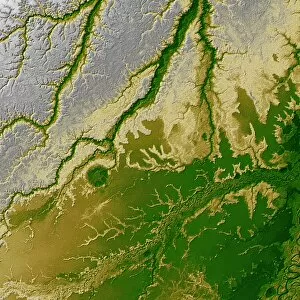
Background imageRelief Map Collection: The Bolivian Amazon

The Bolivian Amazon
September 13, 2002 - An 8-kilometer (5-mile) wide crater of possible impact origin is shown in this view of an isolated part of the Bolivian Amazon from the Shuttle Radar Topography Mission

Background imageRelief Map Collection: A light fog forms in a desiccated gully in Gale Crater, Mars

A light fog forms in a desiccated gully in Gale Crater, Mars. The craters 5km high central mound can be seen in the background

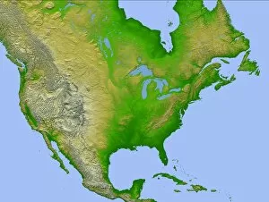
Background imageRelief Map Collection: Topographic view of North America

Topographic view of North America
This image of North America was generated with data from the Shuttle Radar Topography Mission (SRTM). Active tectonics (structural deformation of the Earths crust) along and near the Pacific

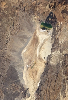
Background imageRelief Map Collection: Natural-color image of the north end of the Suguta Valley in Kenya

Natural-color image of the north end of the Suguta Valley in Kenya
January 10, 2011 - Natural-color image of the north end of the Suguta Valley in Kenya, including Logipi Lake. Suguta Valley is one of the driest places in Kenya


All Professionally Made to Order for Quick Shipping

"Exploring the World's Diverse Landscapes: A Journey through Relief Maps" Embark on a captivating journey as we delve into the fascinating world of relief maps, showcasing stunning landscapes from various corners of the globe. From Scotland's rugged terrain to Romania's enchanting beauty, these satellite images provide us with a unique perspective. Discover the intricacies of the United Kingdom and Eire through an intricate relief map that highlights its diverse topography. Meanwhile, in France's Departement of Ille-et-Vilaine, witness how this relief map unravels the region's breathtaking features. Take a step further and explore an illustration depicting the British Isles' remarkable relief map. Marvel at its mountains, valleys, and rivers that shape this picturesque landscape. Venture southward to Niger and Turkey where satellite images offer a glimpse into their distinctive terrains. Navigate through geographical elements such as compass rose, equator, Indian Ocean, and international dateline while exploring maps that showcase Melanesia’s charm. Witness how these elements intertwine with each other like puzzle pieces on our planet Earth rendered in 3D form centered around Africa and Europe. Travel across North America with a river and mountains map that unveils nature’s grandeur in this vast continent. Immerse yourself in history by examining antique maps featuring Algeria & Tunisia or Italy – capturing moments frozen in time. Through these mesmerizing relief maps spanning continents afar or lands close to home; one can truly appreciate Earth’s boundless beauty etched upon its surface for all to behold.