Fraud Blocker Skip to main content

Satellite Image Collection (page 8)

"Exploring the vastness of our universe, satellite images capture breathtaking views that redefine our perspective

Background imageSatellite Image Collection: India, satellite image

India, satellite image. North is at top. Natural colour satellite image showing India with the surrounding regions removed. Image compiled from data acquired by LANDSAT satellites, in 2012

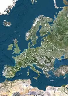
Background imageSatellite Image Collection: Europe, satellite image

Europe, satellite image
Europe. North is at top. Satellite image of Europe, showing the borders (white lines) of the countries. Image compiled from data acquired by LANDSAT satellites, in 2012

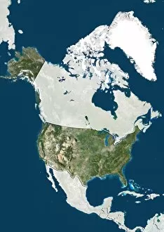
Background imageSatellite Image Collection: United States, satellite image

United States, satellite image
United States. North is at top. Satellite image showing the United States of America with the surrounding territories shaded out. The USA consists of 50 states

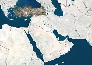
Background imageSatellite Image Collection: Turkey, satellite image

Turkey, satellite image. North is at top. Satellite image showing Turkey, with the surrounding countries shaded out. Turkey is a Eurasian country

Background imageSatellite Image Collection: Kazakhstan, satellite image

Kazakhstan, satellite image
Kazakhstan. North is at top. Satellite image of the Republic of Kazakhstan, with the surrounding countries shaded out. Kazakhstan is located in Central Asia

Background imageSatellite Image Collection: Centre region, France, satellite image

Centre region, France, satellite image
Centre region, France. North is at top. Satellite image of a close-up on the departments that make up the Centre administrative region of France, with the surrounding areas shaded out

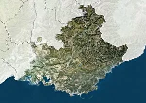
Background imageSatellite Image Collection: Provence-Alpes-Cote d Azur, France

Provence-Alpes-Cote d Azur, France. North is at top. Satellite image of a close-up on the departments that make up the Provence-Alpes-Cote d Azur administrative region of France

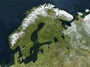
Background imageSatellite Image Collection: Scandinavia, satellite image C017 / 9060

Scandinavia, satellite image C017 / 9060
Scandinavia, satellite image. North is at top. Snow tops the mountains of Norway (white, left) with forests and lakes covering most of Sweden (centre left) and Finland (upper centre)

Background imageSatellite Image Collection: Tibet, China, relief map

Tibet, China, relief map
Tibet, China. North is at top. Relief map compiled from satellite data, showing the Tibet Autonomous Region (Tibet, yellow) and the surrounding Chinese provinces and regions (grey)

Background imageSatellite Image Collection: Bavaria, Germany, relief map

Bavaria, Germany, relief map
Bavaria, Germany. North is at top. Relief map compiled from satellite data, showing the state of Bavaria (yellow), Germany, with the surrounding German states shaded out (grey)

Background imageSatellite Image Collection: Texas, USA, relief map

Texas, USA, relief map
Texas, USA. North is at top. Relief map compiled from satellite data of the USA, showing the state of Texas (yellow), with the surrounding states shaded out (grey). The USA consists of 50 states

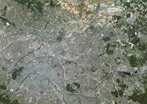
Background imageSatellite Image Collection: Ile-de-France, France, satellite image

Ile-de-France, France, satellite image
Ile-de-France, France. North is at top. Natural colour satellite image of a close-up on the Ile-de-France administrative region of France

Background imageSatellite Image Collection: Val-de-Marne, France, satellite image

Val-de-Marne, France, satellite image
Val-de-Marne, France. North is at top. Natural colour satellite image showing the French department of Val-de-Marne, with the surrounding regions shaded out. Paris can be seen at upper left

Background imageSatellite Image Collection: Seine-Saint-Denis, France

Seine-Saint-Denis, France. North is at top. Natural colour satellite image showing the French department of Seine-Saint-Denis, with the surrounding regions shaded out

Background imageSatellite Image Collection: Paris, France, satellite image

Paris, France, satellite image
Paris, France. North is at top. Natural colour satellite image showing Paris, with the surrounding regions shaded out. France is located in Western Europe

Background imageSatellite Image Collection: Hauts-de-Seine, France, satellite image

Hauts-de-Seine, France, satellite image
Hauts-de-Seine, France. North is at top. Natural colour satellite image showing the French department of Hauts-de-Seine, with the surrounding regions shaded out. France is located in Western Europe

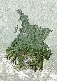
Background imageSatellite Image Collection: Hautes-Pyrenees, France, satellite image

Hautes-Pyrenees, France, satellite image
Hautes-Pyrenees, France. North is at top. Natural colour satellite image showing the French department of Hautes-Pyrenees, with the surrounding regions shaded out

Background imageSatellite Image Collection: Aveyron, France, satellite image

Aveyron, France, satellite image
Aveyron, France. North is at top. Natural colour satellite image showing the French department of Aveyron, with the surrounding regions shaded out. France is located in Western Europe

Background imageSatellite Image Collection: Corse-du-Sud, France, satellite image

Corse-du-Sud, France, satellite image
Corse-du-Sud, France. North is at top. Natural colour satellite image showing the French department of Corse-du-Sud, with the surrounding regions shaded out. France is located in Western Europe

Background imageSatellite Image Collection: Wyoming, USA, satellite image

Wyoming, USA, satellite image
Wyoming, USA. North is at top. Natural colour satellite image of the USA, showing the state of Wyoming, with the surrounding states shaded out. The USA consists of 50 states

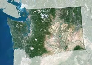
Background imageSatellite Image Collection: Washington, USA, satellite image

Washington, USA, satellite image
Washington, USA. North is at top. Natural colour satellite image of the USA, showing the state of Washington, with the surrounding states shaded out. The Pacific Ocean (blue) is also shown

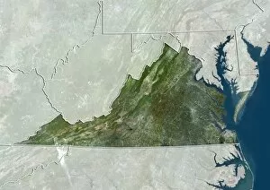
Background imageSatellite Image Collection: Virginia, USA, satellite image

Virginia, USA, satellite image
Virginia, USA. North is at top. Natural colour satellite image of the USA, showing the state of Virginia, with the surrounding states shaded out. The Atlantic Ocean (blue) is also shown

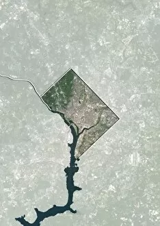
Background imageSatellite Image Collection: Washington DC, USA, satellite image

Washington DC, USA, satellite image
Washington DC, USA. North is at top. Natural colour satellite showing Washington, D.C. in the Mid Atlantic region of the USA, with the surrounding states shaded out

Background imageSatellite Image Collection: Texas, USA, satellite image

Texas, USA, satellite image
Texas, USA. North is at top. Natural colour satellite image of the USA, showing the state of Texas, with the surrounding states shaded out. The USA consists of 50 states

Background imageSatellite Image Collection: Utah, USA, satellite image

Utah, USA, satellite image
Utah, USA. North is at top. Natural colour satellite image of the USA, showing the state of Utah, with the surrounding states shaded out. The USA consists of 50 states

Background imageSatellite Image Collection: New Jersey, USA, satellite image

New Jersey, USA, satellite image
New Jersey, USA. North is at top. Natural colour satellite image of the USA, showing the state of New Jersey, with the surrounding states shaded out. The Atlantic Ocean (blue) is also shown

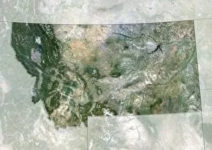
Background imageSatellite Image Collection: Montana, USA, satellite image

Montana, USA, satellite image
Montana, USA. North is at top. Natural colour satellite image of the USA, showing the state of Montana, with the surrounding states shaded out. The USA consists of 50 states

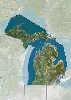
Background imageSatellite Image Collection: Michigan, USA, satellite image

Michigan, USA, satellite image
Michigan, USA. North is at top. Natural colour satellite image of the USA, showing the state of Michigan with the surrounding states shaded out. The USA consists of 50 states

Background imageSatellite Image Collection: Kansas, USA, satellite image

Kansas, USA, satellite image
Kansas, USA. North is at top. Natural colour satellite image of the USA, showing the state of Kansas with the surrounding states shaded out. The USA consists of 50 states

Background imageSatellite Image Collection: Massachusetts, USA, satellite image

Massachusetts, USA, satellite image
Massachusetts, USA. North is at top. Natural colour satellite image of the USA, showing the state of Massachusetts with the surrounding states shaded out. The USA consists of 50 states

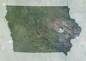
Background imageSatellite Image Collection: Iowa, USA, satellite image

Iowa, USA, satellite image
Iowa, USA. North is at top. Natural colour satellite image of the USA, showing the state of Iowa with the surrounding states shaded out. The USA consists of 50 states

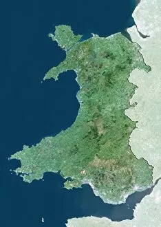
Background imageSatellite Image Collection: Wales, UK, satellite image

Wales, UK, satellite image
Wales, UK. North is at top. Natural colour satellite image showing Wales in the United Kingdom, with the surrounding territories shaded out

Background imageSatellite Image Collection: Northern Ireland, UK, satellite image

Northern Ireland, UK, satellite image
Northern Ireland, UK. North is at top. Natural colour satellite image showing Northern Ireland in the United Kingdom, with the surrounding territories shaded out

Background imageSatellite Image Collection: England, UK, satellite image

England, UK, satellite image
England, UK. North is at top. Natural colour satellite image showing England in the United Kingdom, with the surrounding territories shaded out

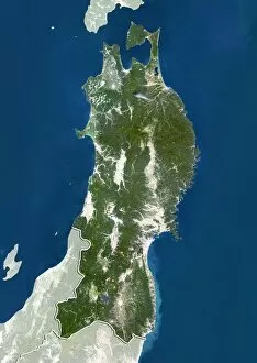
Background imageSatellite Image Collection: Tohoku, Japan, satellite image

Tohoku, Japan, satellite image
Tohoku, Japan. North is at top. Natural colour satellite image showing the Tohoku region of Japan, with the surrounding regions shaded out. Japan is an island nation in East Asia

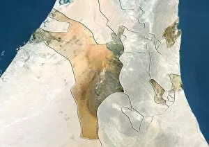
Background imageSatellite Image Collection: Sharjah, UAE, satellite image

Sharjah, UAE, satellite image
Sharjah, United Arab Emirates. North is at top. Natural colour satellite image showing the emirate of Sharjah, United Arab Emirates (UAE), with the surrounding emirates shaded out

Background imageSatellite Image Collection: Kyushu, Japan, satellite image

Kyushu, Japan, satellite image
Kyushu, Japan. North is at top. Natural colour satellite image showing the island of Kyushu, Japan, with the surrounding regions shaded out. Japan is an island nation in East Asia

Background imageSatellite Image Collection: Kansai, Japan, satellite image

Kansai, Japan, satellite image
Kansai, Japan. North is at top. Natural colour satellite image showing the Kansai region of Japan, with the surrounding regions shaded out. Japan is an island nation in East Asia

Background imageSatellite Image Collection: Calabria, Italy, satellite image

Calabria, Italy, satellite image
Calabria, Italy. North is at top. Natural colour satellite image showing the region of Calabria, in Italy, with the surrounding Italian regions shaded out

Background imageSatellite Image Collection: Chugoku, Japan, satellite image

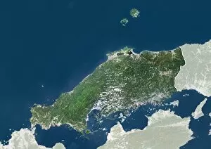
Chugoku, Japan, satellite image
Chugoku, Japan. North is at top. Natural colour satellite image showing the Chugoku region of Japan, with the surrounding regions shaded out. Japan is an island nation in East Asia

Background imageSatellite Image Collection: Abruzzo, Italy, satellite image

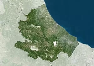
Abruzzo, Italy, satellite image
Abruzzo, Italy. North is at top. Natural colour satellite image showing the region of Abruzzo, in Italy, with the surrounding Italian regions shaded out

Background imageSatellite Image Collection: Uttarakhand, India, satellite image

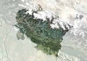
Uttarakhand, India, satellite image
Uttarakhand, India. North is at top. Natural colour satellite image showing the state of Uttarakhand, India, with the surrounding states shaded out. India is located in South Asia

Background imageSatellite Image Collection: Tamil Nadu, India, satellite image

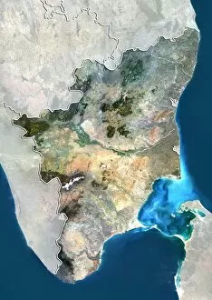
Tamil Nadu, India, satellite image
Tamil Nadu, India. North is at top. Natural colour satellite image showing the state of Tamil Nadu, India, with the surrounding states shaded out. India is located in South Asia

Background imageSatellite Image Collection: Gujarat, India, satellite image

Gujarat, India, satellite image
Gujarat, India. North is at top. Natural colour satellite image showing the state of Gujarat, India, with the surrounding states shaded out. India is located in South Asia

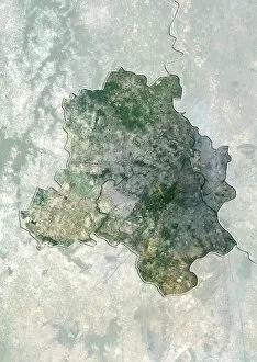
Background imageSatellite Image Collection: Delhi, India, satellite image

Delhi, India, satellite image
Delhi, India. North is at top. Natural colour satellite image showing the National Capital Territory of Delhi, India, with the surrounding states shaded out. India is located in South Asia

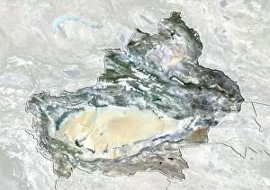
Background imageSatellite Image Collection: Xinjiang, China, satellite image

Xinjiang, China, satellite image
Xinjiang, China. North is at top. Natural colour satellite image showing the Xinjiang region of China, with the surrounding Chinese provinces and regions shaded out

Background imageSatellite Image Collection: Flanders, Belgium, satellite image

Flanders, Belgium, satellite image
Flanders, Belgium. North is at top. Natural colour satellite image showing the Flemish region of Belgium, with the surrounding regions shaded out

Background imageSatellite Image Collection: Hainan, China, satellite image

Hainan, China, satellite image
Hainan, China. North is at top. Natural colour satellite image showing Hainan Island off the coast of China (top). Hainan is located in the South China Sea (blue)


All Professionally Made to Order for Quick Shipping

"Exploring the vastness of our universe, satellite images capture breathtaking views that redefine our perspective. Inspired by Voyager 1's iconic 'Pale Blue Dot' image, we witness the beauty and fragility of Earth from space. From the British Isles to Europe at night, these satellite images reveal a tapestry of lights illuminating cities and towns across continents. Marvel at the mesmerizing glow as darkness blankets Europe or gaze in awe at the captivating sight of our entire planet aglow during nighttime. Delve into Tenerife's intricate landscapes, where satellite imagery unveils its hidden wonders with stunning clarity. Venturing beyond our home planet, New Horizons grants us an extraordinary glimpse into Jupiter and its moon Io – a celestial dance frozen in time. Witnessing Earth from afar reminds us of its remarkable diversity; behold Scotland's rugged terrain captured through a lens high above. Satellite imagery also unravels nature's grandeur: observe awe-inspiring solar prominences erupting from the sun’s surface like fiery tendrils reaching towards infinity. In January 2010, witness Mother Nature transforming the United Kingdom into a winter wonderland as snow blankets every corner. Finally, explore North America at night through satellite lenses – an ethereal spectacle showcasing bustling metropolises intertwined with serene natural landscapes under starlit skies. " Note.