
Stratigraphy Collection
"Unraveling Earth's Layers: Exploring the Fascinating World of Stratigraphy" Delve into the captivating realm of stratigraphy


All Professionally Made to Order for Quick Shipping
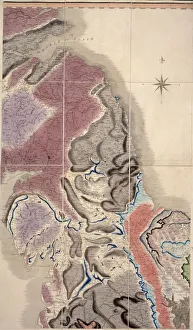
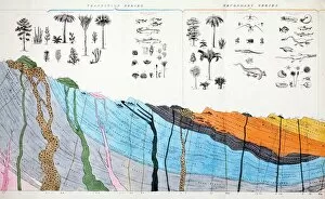
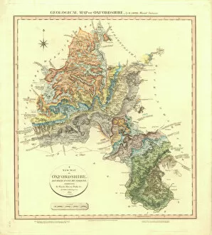
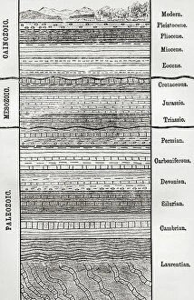
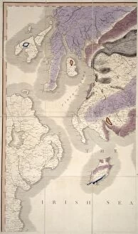
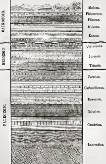
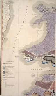
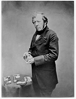
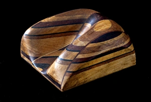
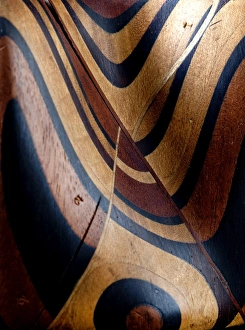
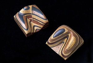
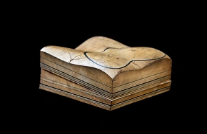
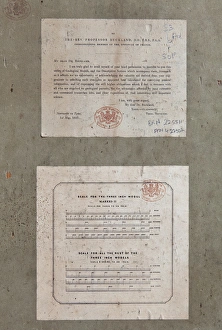
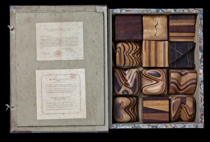
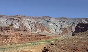
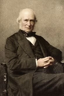
"Unraveling Earth's Layers: Exploring the Fascinating World of Stratigraphy" Delve into the captivating realm of stratigraphy, where layers upon layers of Earth's history are unveiled. The Geological Map of Oxfordshire serves as a gateway to understanding this intricate science. Dating back to 1815, it holds the honor of being Britain's first geological map, shedding light on the region's ancient past (C016 / 5683). Intriguingly, the 1836 Buckland geology cross-section offers a visual journey through time, showcasing how different rock formations have evolved over millennia, and is a testament to our ever-growing knowledge and curiosity about our planet. Portrait of James Hall reminds us that behind every scientific breakthrough lies an enigmatic figure. Hall's contributions in stratigraphy paved the way for future discoveries and advancements in this field before his passing in 1898. Transport yourself to Beachy Head through a mesmerizing black-and-white photograph. This iconic landmark not only boasts breathtaking views but also reveals hidden clues about geological processes etched into its rugged cliffs. Thomas Sopwith emerges as another luminary within stratigraphic studies with his remarkable geological models. Model XII illustrates the denudation process affecting mineral veins while Model VII showcases surface denudation patterns caused by veins' exposure over time. Sopwith Models offer further insights into denudation and faulting phenomena, unraveling nature's complex tapestry layer by layer. From coal strata near Newcastle depicted in Model II to intersecting mineral veins showcased in Model VI – each model unravels new chapters within Earth's storybook. Stratigraphy invites us to decipher these intricate tales preserved beneath our feet – stories told through sedimentary layers that hold secrets spanning millions of years.