
Surveys Collection
"Exploring the Past and Present: Surveys Unveiling Hidden Stories" The Falklands War - 1982: A survey of battle scars


All Professionally Made to Order for Quick Shipping
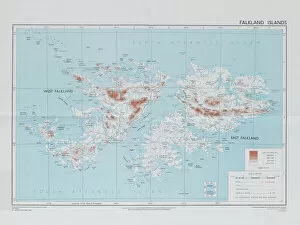
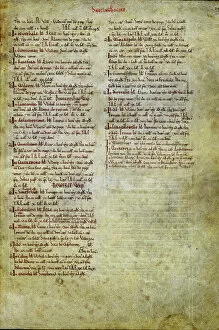
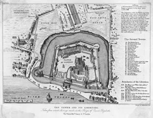
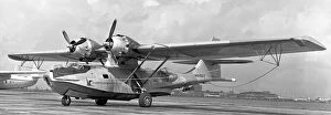
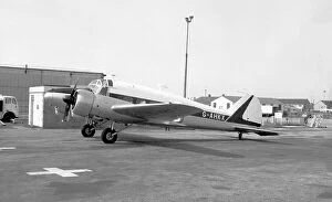
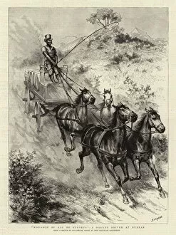
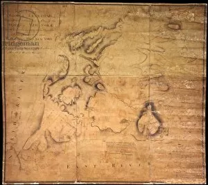
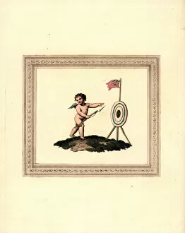
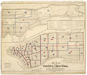
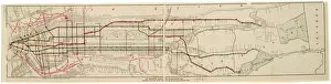
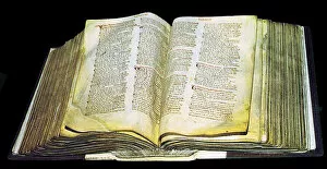
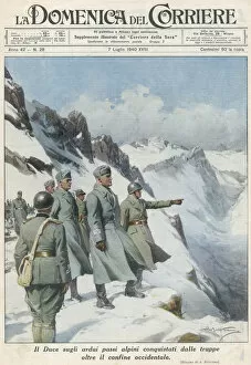
"Exploring the Past and Present: Surveys Unveiling Hidden Stories" The Falklands War - 1982: A survey of battle scars, reminding us of the resilience and courage displayed during this historic conflict. Frilled dragon in Australia: Through surveys, we discover fascinating creatures like the frilled dragon, showcasing the incredible biodiversity found Down Under. Nottinghamshire's Domesday Book: An ancient survey capturing a snapshot of medieval life, offering glimpses into long-forgotten times and traditions. Surrey's Domesday Book: Another chapter in history revealed through surveys, shedding light on how communities thrived centuries ago in this English county. Tower from the 16th Century: Surveys unveil architectural marvels like this tower, standing tall as a testament to human ingenuity throughout different eras. Artokoloro's Survey Collection: Delving into artistic surveys by Artokoloro opens up a world where brushstrokes capture moments frozen in time with exquisite detail. Norfolk's Domesday Book: Yet another piece of England's rich heritage uncovered through meticulous surveys, painting a vivid picture of past lives lived within these lands. Avro Anson 19 G-AHKX aircraft: A survey reveals remnants of aviation history—a reminder of technological advancements that have shaped our modern world. "Monarch of all he Surveys": An engraving depicting a Darkey Driver at Durban showcases how art can provide insights into societal dynamics captured during colonial times. Mapping New York City for George Clinton Esq. : Historical maps serve as invaluable surveys documenting urban development over time—tracing the cityscape's evolution under various leaders' guidance. Manhattan Island circa 1765-1770 from Battery to Turtle Bay: A captivating survey transports us back to pre-revolutionary America—where bustling streets now stand, once untouched wilderness thrived.