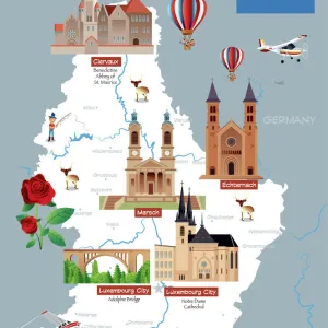
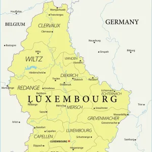
Home > Europe > Luxembourg > Maps
Germanys Western Frontier under the terms of the Peace Treaty, 1918, (c1920). Creator: Unknown
. Creator: Unknown")
![]()
Wall Art and Photo Gifts from Heritage Images
Germanys Western Frontier under the terms of the Peace Treaty, 1918, (c1920). Creator: Unknown
Germanys Western Frontier under the terms of the Peace Treaty, 1918, (c1920). Map showing the border between France and Germany after the signing of the armistice at the end of the First World War. Also shown are: International boundaries in 1914; Territory restored to France; New Franco-German frontier; Areas for Plebiscite; Saar Basin, to be administered by the League of Nations; Luxembourg, detached from German Zollverein (Customs Union). From " The Great World War: A History", Volume IX, edited by Frank A Mumby. [The Gresham Publishing Company Ltd, London, c1920]
Heritage Images features heritage image collections
Media ID 19666131
© The Print Collector/Heritage Images
Alsace Alsace France Alsace Lorraine Frank A Frank A Mumby Frank Arthur Frank Arthur Mumby Gresham Publishing Co Ltd Gresham Publishing Company Keystone Archives Lorraine Lorraine France Luxembourg Mumby Mumby Frank A Mumby Frank Arthur Peace Treaty Prussia The Great World War A History Treaty Treaty Of Versailles 1st World War
FEATURES IN THESE COLLECTIONS
> Europe
> Luxembourg
> Maps
> Europe
> Luxembourg
> Posters
> Europe
> Luxembourg
> Related Images
> Historic
> World War I and II
> World War I
> Historic
> World War I and II
> Maps and Charts
> Luxembourg
EDITORS COMMENTS
This print captures the aftermath of the First World War, specifically highlighting Germany's western frontier under the terms of the Peace Treaty in 1918. The map showcases significant changes to international boundaries, emphasizing France and Germany's border after the signing of the armistice. It also depicts various other elements such as territories restored to France, new Franco-German frontiers, areas designated for plebiscite, Saar Basin administered by the League of Nations, Luxembourg detached from German Zollverein (Customs Union), and more. The image is sourced from a historical book titled "The Great World War: A History" edited by Frank A Mumby and published by The Gresham Publishing Company Ltd in London around 1920. Despite being created by an unknown artist or photographer, this visual representation offers valuable insights into post-war territorial arrangements. By examining this photograph print closely, viewers can gain a deeper understanding of how geopolitical landscapes were reshaped following one of history's most devastating conflicts. It serves as a reminder not only of the consequences faced by defeated nations but also highlights efforts made towards establishing peace through diplomatic negotiations like those reflected in the Treaty of Versailles. This image provides us with a glimpse into an important chapter in world history - one that forever altered borders and set forth new dynamics between nations on Germany's western frontier.
MADE IN AUSTRALIA
Safe Shipping with 30 Day Money Back Guarantee
FREE PERSONALISATION*
We are proud to offer a range of customisation features including Personalised Captions, Color Filters and Picture Zoom Tools
SECURE PAYMENTS
We happily accept a wide range of payment options so you can pay for the things you need in the way that is most convenient for you
* Options may vary by product and licensing agreement. Zoomed Pictures can be adjusted in the Cart.