Jigsaw Puzzle > North America > Canada > Maps
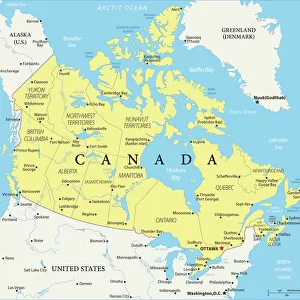
Jigsaw Puzzle : Cartoon map of Canada

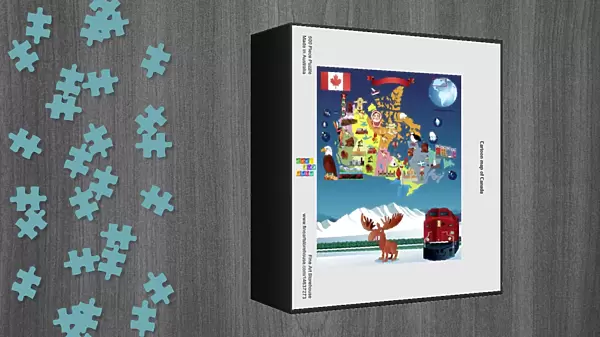


![]()
Jigsaw Puzzles from Fine Art Storehouse
Cartoon map of Canada
Unleash your creativity and transform your space into a visual masterpiece!
Media ID 14637273
Jigsaw Puzzle (500 Pieces)
Discover the joy of piecing together a piece of Canadian history with our Cartoon Map of Canada jigsaw puzzle from the Media Storehouse collection at Fine Art Storehouse. This vibrant and whimsical puzzle showcases a playful representation of Canada's diverse provinces and territories. Each puzzle piece is intricately designed, making the assembly process an engaging and rewarding experience for all ages. Bring a touch of Canadian culture into your home or office while creating lasting memories with family and friends. Order your Cartoon Map of Canada jigsaw puzzle today and let the fun begin!
500 piece puzzles are custom made in Australia and hand-finished on 100% recycled 1.6mm thick laminated puzzle boards. There is a level of repetition in jigsaw shapes with each matching piece away from its pair. The completed puzzle measures 40x51cm and is delivered packaged in an attractive presentation box specially designed to fit most mail slots with a unique magnetic lid
Jigsaw Puzzles are an ideal gift for any occasion
Estimated Product Size is 40.3cm x 50.7cm (15.9" x 20")
These are individually made so all sizes are approximate
Artwork printed orientated as per the preview above, with landscape (horizontal) or portrait (vertical) orientation to match the source image.
FEATURES IN THESE COLLECTIONS
> Fine Art Storehouse
> Map
> Cartoon Maps
> Maps and Charts
> Related Images
> North America
> Canada
> Maps
> North America
> Canada
> Related Images
EDITORS COMMENTS
This vibrant and whimsical cartoon map of Canada is a delightful piece that captures the essence of this vast and diverse country. Bursting with color, it brings to life the unique characteristics and landmarks that define each province and territory. From coast to coast, this playful illustration showcases iconic symbols such as the majestic Rocky Mountains in Alberta, the stunning Niagara Falls in Ontario, and the picturesque fishing villages of Newfoundland. Each region is depicted with its own distinct charm, highlighting cultural references like hockey players in Quebec or maple syrup production in New Brunswick. The artist's attention to detail is evident throughout this print, as they have carefully crafted every element to create an engaging visual narrative. Whether you're a Canadian proud of your heritage or simply fascinated by our northern neighbor's beauty, this artwork will undoubtedly bring joy and spark conversations. Perfect for any space seeking a touch of lightheartedness or educational flair, this cartoon map invites viewers young and old to explore Canada's rich geography while embracing its playful spirit. Hang it on your wall at home or display it proudly in a classroom setting; either way, it promises endless hours of discovery and appreciation for all things Canadian.
MADE IN AUSTRALIA
Safe Shipping with 30 Day Money Back Guarantee
FREE PERSONALISATION*
We are proud to offer a range of customisation features including Personalised Captions, Color Filters and Picture Zoom Tools
SECURE PAYMENTS
We happily accept a wide range of payment options so you can pay for the things you need in the way that is most convenient for you
* Options may vary by product and licensing agreement. Zoomed Pictures can be adjusted in the Cart.