Jigsaw Puzzle > Granger Art on Demand > 20th Century Wars
Jigsaw Puzzle : WORLD WAR I: MAP, 1919. Boundaries of Germany under the Treaty of Versailles including


![]()
Jigsaw Puzzles from Granger
WORLD WAR I: MAP, 1919. Boundaries of Germany under the Treaty of Versailles including
WORLD WAR I: MAP, 1919.
Boundaries of Germany under the Treaty of Versailles including Alsace-Lorraine, The Sarre Coal Basin and small sections around Eupen and Malmedy on the Belgian border. Map, 1919
Granger holds millions of images spanning more than 25,000 years of world history, from before the Stone Age to the dawn of the Space Age
Media ID 12406596
1919 Alsace Belgian Border Boundary Europe Germany Holland Lorraine Prussia Stripe Treaty Of Versailles World War I Malmedy
Jigsaw Puzzle (1000 Pieces)
Discover history with our captivating WORLD WAR I: MAP, 1919 jigsaw puzzle from Media Storehouse, featuring an image from Granger Art on Demand. This intriguing puzzle showcases the political map of Europe after the Treaty of Versailles, highlighting the new boundaries of Germany, including Alsace-Lorraine, The Sarre Coal Basin, and small sections around Eupen and Malmedy on the Belgian border. Engage in a stimulating challenge as you piece together this educational and visually captivating puzzle, perfect for history enthusiasts, puzzle collectors, or anyone seeking a thoughtful pastime. Immerse yourself in the rich tapestry of history and bring this significant moment in time to life in your own home.
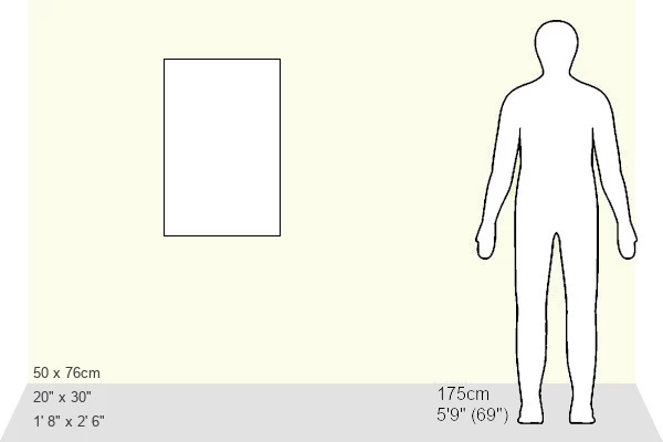
1000 piece puzzles are custom made in Australia and hand-finished on 100% recycled 1.6mm thick laminated puzzle boards. There is a level of repetition in jigsaw shapes with each matching piece away from its pair. The completed puzzle measures 76x50cm and is delivered packaged in an attractive presentation box specially designed to fit most mail slots with a unique magnetic lid
Jigsaw Puzzles are an ideal gift for any occasion
Estimated Product Size is 50.2cm x 76cm (19.8" x 29.9")
These are individually made so all sizes are approximate
Artwork printed orientated as per the preview above, with landscape (horizontal) or portrait (vertical) orientation to match the source image.
EDITORS COMMENTS
This print showcases a historical map from 1919, depicting the boundaries of Germany under the Treaty of Versailles after World War I. The intricate details reveal the significant changes that occurred in Europe following this monumental conflict. The map highlights various regions, including Alsace-Lorraine, The Sarre Coal Basin, and small sections around Eupen and Malmedy on the Belgian border. The image transports us back to a time when nations were redefining their territories and establishing new borders. It serves as a visual representation of the consequences imposed upon Germany by the victorious Allied powers through this treaty. Notably, Alsace-Lorraine is prominently featured on the map—a region that had long been contested between France and Germany. As we examine this historic document, we gain insight into how geopolitical decisions shaped post-war Europe. The inclusion of Holland (the Netherlands) emphasizes neighboring countries' involvement in defining these new boundaries. While studying this photograph print evokes feelings of curiosity and reflection about our shared history, it is important to note that it should not be used for commercial purposes or associated with any specific company. Instead, let us appreciate its educational value as a testament to an era marked by profound transformation and international diplomacy—the aftermath of World War I captured within one compelling image.
MADE IN AUSTRALIA
Safe Shipping with 30 Day Money Back Guarantee
FREE PERSONALISATION*
We are proud to offer a range of customisation features including Personalised Captions, Color Filters and Picture Zoom Tools
SECURE PAYMENTS
We happily accept a wide range of payment options so you can pay for the things you need in the way that is most convenient for you
* Options may vary by product and licensing agreement. Zoomed Pictures can be adjusted in the Cart.