Jigsaw Puzzle > Animals > Birds > Passerines > Finches > Atlantic Canary
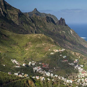
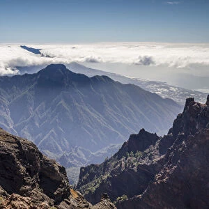
Jigsaw Puzzle : Map of La Palma, Canary Islands


![]()
Jigsaw Puzzles from Mary Evans Picture Library
Map of La Palma, Canary Islands
Map of La Palma, Canary Islands. Date: circa 1908
Mary Evans Picture Library makes available wonderful images created for people to enjoy over the centuries
Media ID 14262716
© Mary Evans / Pharcide
Atlantic Canaries Canary Cruz Maps Palma Quisisana Tenerife
Jigsaw Puzzle (1000 Pieces)
Discover the beauty of the Canary Islands with our intricately designed jigsaw puzzle from Media Storehouse. This captivating puzzle features a vintage map of La Palma, dated circa 1908, sourced from Mary Evans Prints Online. Bring the history and allure of this stunning island to your home with this challenging and engaging puzzle. Perfect for puzzle enthusiasts, families, or anyone seeking a relaxing and rewarding activity. Immerse yourself in the intricate details of this map and transport yourself to the enchanting landscapes of La Palma.
1000 piece puzzles are custom made in Australia and hand-finished on 100% recycled 1.6mm thick laminated puzzle boards. There is a level of repetition in jigsaw shapes with each matching piece away from its pair. The completed puzzle measures 76x50cm and is delivered packaged in an attractive presentation box specially designed to fit most mail slots with a unique magnetic lid
Jigsaw Puzzles are an ideal gift for any occasion
Estimated Product Size is 50.2cm x 76cm (19.8" x 29.9")
These are individually made so all sizes are approximate
Artwork printed orientated as per the preview above, with landscape (horizontal) or portrait (vertical) orientation to match the source image.
FEATURES IN THESE COLLECTIONS
> Animals
> Birds
> Passerines
> Finches
> Atlantic Canary
> Animals
> Mammals
> Cricetidae
> Santa Cruz Mouse
> Animals
> Mammals
> Muridae
> Water Mouse
> Arts
> Artists
> O
> Oceanic Oceanic
> Europe
> France
> Canton
> Landes
> Maps and Charts
> Related Images
EDITORS COMMENTS
This map print, dated circa 1908, showcases the beautiful island of La Palma in the Canary Islands located in the Atlantic Ocean. The intricate details of the map reveal the various coastal towns and villages, including Santa Cruz de La Palma, the largest city and political capital, and the popular tourist destination of Quisisana, known for its Grand Hotel. The map provides a glimpse into the geography of the island, highlighting its rugged coastline, volcanic terrain, and the vast expanse of the Atlantic Ocean that surrounds it. The map also includes the neighboring islands of Tenerife, Gran Canaria, and El Hierro, adding to the grandeur of the view. The map serves as a testament to the rich history and natural beauty of the Canary Islands, which have been a popular destination for travelers since the late 1800s. The islands' unique location, situated near the intersection of the North and South Atlantic currents, offers a diverse climate and a wealth of natural resources, making it an ideal destination for exploration and relaxation. This map print is a beautiful addition to any home or office, transporting viewers to a time when travel was an adventure and the natural wonders of the world were a source of endless fascination. With its intricate details and stunning visual representation of the island, this map is a must-have for anyone with an appreciation for history, geography, or the natural world.
MADE IN AUSTRALIA
Safe Shipping with 30 Day Money Back Guarantee
FREE PERSONALISATION*
We are proud to offer a range of customisation features including Personalised Captions, Color Filters and Picture Zoom Tools
SECURE PAYMENTS
We happily accept a wide range of payment options so you can pay for the things you need in the way that is most convenient for you
* Options may vary by product and licensing agreement. Zoomed Pictures can be adjusted in the Cart.