Jigsaw Puzzle > Europe > United Kingdom > England > Sussex > Coombes
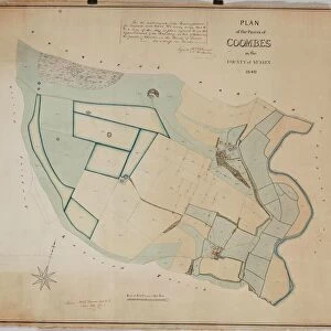
Jigsaw Puzzle : Coombes Tithe Map, 1840


![]()
Jigsaw Puzzles from West Sussex County Council
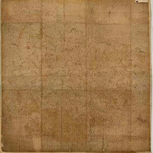
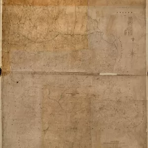
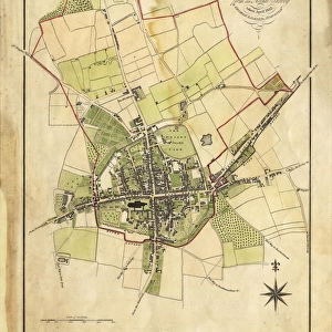
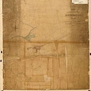
Coombes Tithe Map, 1840
Surveyor unknown. 16 in. to 1m. Original map size 32in. × 37in.
Tithe Award Map Collection
West Sussex Record Office Ref No: TD/W38
West Sussex County Council Record Office contains a fascinating history of the county of West Sussex, England
Media ID 7915680
© West Sussex County Council - All Rights Reserved
Jigsaw Puzzle (500 Pieces)
Discover the rich history of West Sussex with our Media Storehouse Jigsaw Puzzle featuring the intricately detailed Coombes Tithe Map from 1840. This captivating puzzle, sourced from the West Sussex Record Office, offers a unique glimpse into the past. With authentic tithe award map markings, this puzzle is perfect for history enthusiasts and puzzle lovers alike. Unravel the intricacies of this piece of local history, piece by piece, and bring the past to life in your home.
500 piece puzzles are custom made in Australia and hand-finished on 100% recycled 1.6mm thick laminated puzzle boards. There is a level of repetition in jigsaw shapes with each matching piece away from its pair. The completed puzzle measures 40x51cm and is delivered packaged in an attractive presentation box specially designed to fit most mail slots with a unique magnetic lid
Jigsaw Puzzles are an ideal gift for any occasion
Estimated Product Size is 50.7cm x 40.3cm (20" x 15.9")
These are individually made so all sizes are approximate
Artwork printed orientated as per the preview above, with landscape (horizontal) or portrait (vertical) orientation to match the source image.
FEATURES IN THESE COLLECTIONS
> Europe
> United Kingdom
> England
> Sussex
> Coombes
> Europe
> United Kingdom
> England
> Sussex
> Related Images
> Europe
> United Kingdom
> England
> West Sussex
> Related Images
> Maps and Charts
> Early Maps
> Maps and Charts
> Related Images
> West Sussex County Council
> West Sussex Record Office
> Tithe Award Maps, 1808-1859
EDITORS COMMENTS
This print showcases the Coombes Tithe Map from 1840, a remarkable piece of historical mapping. Although the surveyor remains unknown, their meticulous work is evident in this detailed representation. The map scale of 16 inches to 1 meter allows for a comprehensive view of the area, while its original size measuring an impressive 32 inches by 37 inches demonstrates the magnitude and importance of this document. Part of the esteemed Tithe Award Map Collection at West Sussex Record Office, this particular map holds immense value for researchers and history enthusiasts alike. Its reference number TD/W38 ensures easy access to those seeking to delve into the rich past of West Sussex County Council. Transporting us back to the early 19th century, this snapshot offers a glimpse into rural life during that era. It unveils not only geographical features but also provides insights into land ownership patterns and agricultural practices prevalent at that time. It's important to note that this photograph focuses solely on preserving history and does not imply any commercial use or affiliation with any company bearing a similar name. By showcasing these historical maps, we honor our heritage and encourage further exploration into our collective pasts.
MADE IN AUSTRALIA
Safe Shipping with 30 Day Money Back Guarantee
FREE PERSONALISATION*
We are proud to offer a range of customisation features including Personalised Captions, Color Filters and Picture Zoom Tools
SECURE PAYMENTS
We happily accept a wide range of payment options so you can pay for the things you need in the way that is most convenient for you
* Options may vary by product and licensing agreement. Zoomed Pictures can be adjusted in the Cart.