Home > Arts > Portraits > Pop art gallery > Street art portraits
Lancaster LA6 1 Map

![]()
Wall Art and Photo Gifts from Map Marketing
Lancaster LA6 1 Map
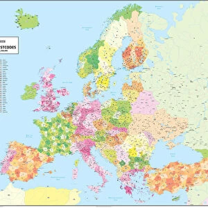
Postcode Sector Map of Lancaster LA6 1
Media ID 19973500
Back Lane Barker Close Barkers Lane Bay View Bridge Road Brookfield Close Burton Road Canal Close Chestnut Close Church Bank Church Hill Dalton Dalton Lane Duke Street Glebe Close Greenways Halton Road Hill Lane Hillside Holme Hutton Close Kirklands Road Lancaster Lodge Close Main Road Main Street Mayfield Avenue Meadow Way Meadowcroft Moss Lane Mowbray Drive New Lane Nook Lane North Road Park Lane Pipers Lane Sands Lane School Lane Shaw Lane Springfield Gardens Station Lane Station Road The Crescent Trinity Drive Turners Close Vicarage Close Vicarage Lane Woodlands View Yew Tree Close Borwick Nook
FEATURES IN THESE COLLECTIONS
> Map Marketing
> Postcode Sector Maps
> LA - Lancaster
> Map Marketing
> UK Maps
> Arts
> Portraits
> Pop art gallery
> Street art portraits
> Maps and Charts
> Related Images
MADE IN AUSTRALIA
Safe Shipping with 30 Day Money Back Guarantee
FREE PERSONALISATION*
We are proud to offer a range of customisation features including Personalised Captions, Color Filters and Picture Zoom Tools
SECURE PAYMENTS
We happily accept a wide range of payment options so you can pay for the things you need in the way that is most convenient for you
* Options may vary by product and licensing agreement. Zoomed Pictures can be adjusted in the Cart.