Fraud Blocker Skip to main content

Home > MapSeeker > Maps from the British Isles > Scotland and Counties PORTFOLIO

Scotland and Counties PORTFOLIO Collection

Old Maps Of Scotland and Historic County Maps of Scotland

Choose a picture from our Scotland and Counties PORTFOLIO Collection for your Wall Art and Photo Gifts

81 items

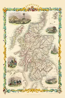
Background imageScotland and Counties PORTFOLIO Collection: Scotland 1851

Scotland 1851
A fine facimile artworked from an antique original map of Scotland, issued as part of the 1851 edition of John Tallis and Companys " The Illustrated Atlas and Modern History of the World"

Background imageScotland and Counties PORTFOLIO Collection: The Historic Map of Scotland 'Scotland of Old'

The Historic Map of Scotland "Scotland of Old"
Now republished at its original full size, the Scotland of Old Map, also known as the Bartholomew Clan Map of Scotland, features " The Lands", " The Arms"

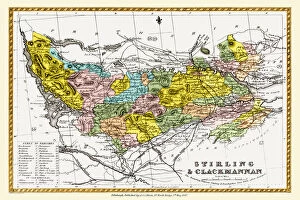
Background imageScotland and Counties PORTFOLIO Collection: Old County Map of Stirling and Clackmannan Scotland 1847 by A&C Black

Old County Map of Stirling and Clackmannan Scotland 1847 by A&C Black
A finely detailed facimile remastered in full colour from an antique original map of Stirling and Clackmannan featured in A&C Blacks Atlas of 1847

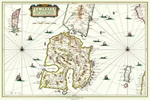
Background imageScotland and Counties PORTFOLIO Collection: Old Map of the Isle of Islay Scotland 1654 by Johan Blaeu from the Atlas Novus

Old Map of the Isle of Islay Scotland 1654 by Johan Blaeu from the Atlas Novus
This detailed and most attractive reproduction map of The Isle of Islay has been carefully art worked from a scan of an antique original

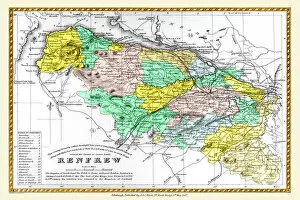
Background imageScotland and Counties PORTFOLIO Collection: Old County Map of Renfrew Scotland 1847 by A&C Black

Old County Map of Renfrew Scotland 1847 by A&C Black
A finely detailed facimile remastered in full colour from an antique original map of Renfrewshire featured in A&C Blacks Atlas of 1847

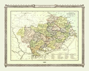
Background imageScotland and Counties PORTFOLIO Collection: Old Map of the County of Berwick from the Philips Handy Atlas of 1882

Old Map of the County of Berwick from the Philips Handy Atlas of 1882
PHA006

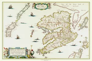
Background imageScotland and Counties PORTFOLIO Collection: Old Map of the Isle of Mull Scotland 1654 by Johan Blaue from the Atlas Novus

Old Map of the Isle of Mull Scotland 1654 by Johan Blaue from the Atlas Novus
This detailed and most attractive reproduction map of The Isle of Mull has been carefully art worked from a scan of an antique original

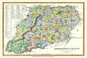
Background imageScotland and Counties PORTFOLIO Collection: Old County Map of Aberdeen and Banff Scotland 1847 by A&C Black

Old County Map of Aberdeen and Banff Scotland 1847 by A&C Black
A finely detailed facimile remastered in full colour from an antique original map of Aberdeen and Banff featured in A&C Blacks Atlas of 1847

Background imageScotland and Counties PORTFOLIO Collection: Pictorial Story Map of Scotland

Pictorial Story Map of Scotland
This map has been remastered from an original published by Colortext, it was one of a series they labelled aeStory MapAE. It combines pictorial images

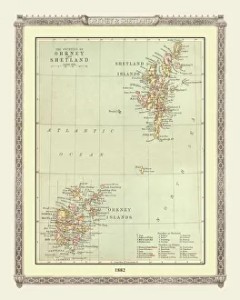
Background imageScotland and Counties PORTFOLIO Collection: Old Map of the Orkney and Shetland Isles from the Philips Handy Atlas of 1882

Old Map of the Orkney and Shetland Isles from the Philips Handy Atlas of 1882
PHA022

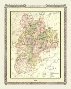
Background imageScotland and Counties PORTFOLIO Collection: Old Map of the County of Peebles from the Philips Handy Atlas of 1882

Old Map of the County of Peebles from the Philips Handy Atlas of 1882
PHA023

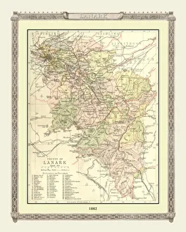
Background imageScotland and Counties PORTFOLIO Collection: Old Map of the County of Lanark from the Philips Handy Atlas of 1882

Old Map of the County of Lanark from the Philips Handy Atlas of 1882
PHA020

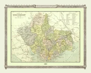
Background imageScotland and Counties PORTFOLIO Collection: Old Map of the County of Kirkcudbright from the Philips Handy Atlas of 1882

Old Map of the County of Kirkcudbright from the Philips Handy Atlas of 1882
PHA019

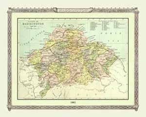
Background imageScotland and Counties PORTFOLIO Collection: Old Map of the County of Haddington from the Philips Handy Atlas of 1882

Old Map of the County of Haddington from the Philips Handy Atlas of 1882
PHA016

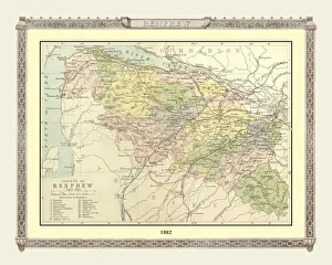
Background imageScotland and Counties PORTFOLIO Collection: Old Map of the County of Renfrew from the Philips Handy Atlas of 1882

Old Map of the County of Renfrew from the Philips Handy Atlas of 1882
PHA025

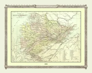
Background imageScotland and Counties PORTFOLIO Collection: Old Map of the Counties of Ross and Cromarty from the Philips Handy Atlas of 1882

Old Map of the Counties of Ross and Cromarty from the Philips Handy Atlas of 1882
PHA026

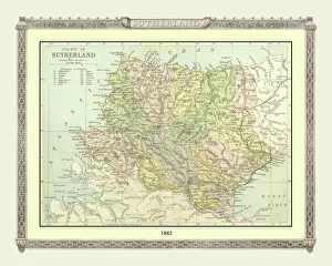
Background imageScotland and Counties PORTFOLIO Collection: Old Map of the County of Sutherland from the Philips Handy Atlas of 1882

Old Map of the County of Sutherland from the Philips Handy Atlas of 1882
PHA030

Background imageScotland and Counties PORTFOLIO Collection: Old Map of the Counties of Stirling and Clackmannan from the Philips Handy Atlas of 1882

Old Map of the Counties of Stirling and Clackmannan from the Philips Handy Atlas of 1882
PHA029

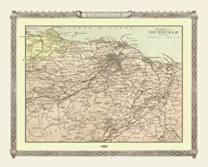
Background imageScotland and Counties PORTFOLIO Collection: Old Map of the Environs of Edinburgh from the Philips Handy Atlas of 1882

Old Map of the Environs of Edinburgh from the Philips Handy Atlas of 1882
PHA011

Background imageScotland and Counties PORTFOLIO Collection: Old Map of the Counties of Elgin and Nairn from the Philips Handy Atlas of 1882

Old Map of the Counties of Elgin and Nairn from the Philips Handy Atlas of 1882
PHA013

Background imageScotland and Counties PORTFOLIO Collection: Old Map of the County of Forfar from the Philips Handy Atlas of 1882

Old Map of the County of Forfar from the Philips Handy Atlas of 1882
PHA015

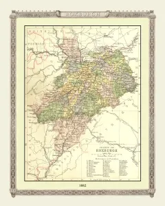
Background imageScotland and Counties PORTFOLIO Collection: Old Map of the County of Roxburgh from the Philips Handy Atlas of 1882

Old Map of the County of Roxburgh from the Philips Handy Atlas of 1882
PHA027

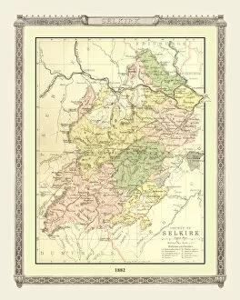
Background imageScotland and Counties PORTFOLIO Collection: Old Map of the County of Selkirk from the Philips Handy Atlas of 1882

Old Map of the County of Selkirk from the Philips Handy Atlas of 1882
PHA028

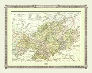
Background imageScotland and Counties PORTFOLIO Collection: Old Map of the County of Inverness from the Philips Handy Atlas of 1882

Old Map of the County of Inverness from the Philips Handy Atlas of 1882
PHA017

Background imageScotland and Counties PORTFOLIO Collection: Old Map of the Environs of Glasgow from the Philips Handy Atlas of 1882

Old Map of the Environs of Glasgow from the Philips Handy Atlas of 1882
PHA012

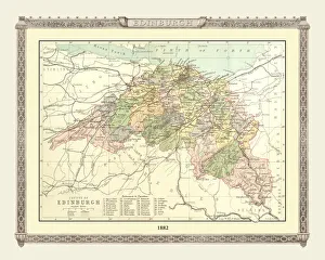
Background imageScotland and Counties PORTFOLIO Collection: Old Map of the County of Edinburgh from the Philips Handy Atlas of 1882

Old Map of the County of Edinburgh from the Philips Handy Atlas of 1882
PHA010

Background imageScotland and Counties PORTFOLIO Collection: Old Map of the Western Isles from the Philips Handy Atlas of 1882

Old Map of the Western Isles from the Philips Handy Atlas of 1882
PHA031

Background imageScotland and Counties PORTFOLIO Collection: Old Map of the Counties of Fife and Kinross from the Philips Handy Atlas of 1882

Old Map of the Counties of Fife and Kinross from the Philips Handy Atlas of 1882
PHA014

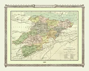
Background imageScotland and Counties PORTFOLIO Collection: Old Map of the County of Linlithgow from the Philips Handy Atlas of 1882

Old Map of the County of Linlithgow from the Philips Handy Atlas of 1882
PHA021

Background imageScotland and Counties PORTFOLIO Collection: Old Map of the County of Perth from the Philips Handy Atlas of 1882

Old Map of the County of Perth from the Philips Handy Atlas of 1882
PHA024

Background imageScotland and Counties PORTFOLIO Collection: Old Map of the County of Kincardine from the Philips Handy Atlas of 1882

Old Map of the County of Kincardine from the Philips Handy Atlas of 1882
PHA018

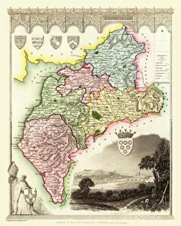
Background imageScotland and Counties PORTFOLIO Collection: Old County Map of Cumberland 1836 by Thomas Moule

Old County Map of Cumberland 1836 by Thomas Moule
This is a fine decorative reproduction County Map of Cumberland from the First Edition series of Thomas Moule Maps, originally Published in 1836

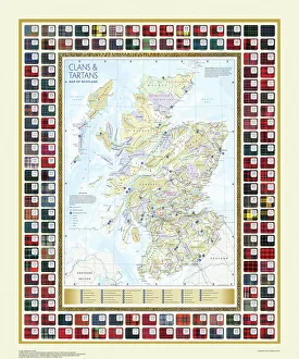
Background imageScotland and Counties PORTFOLIO Collection: Map of the Clans and Tartans of Scotland

Map of the Clans and Tartans of Scotland
This map of Scotland indicates the general sphere of influence held by the clans and considerable families at the beginning of the 17th century

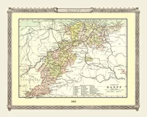
Background imageScotland and Counties PORTFOLIO Collection: Old Map of the County of Banff from the Philips Handy Atlas of 1882

Old Map of the County of Banff from the Philips Handy Atlas of 1882
PHA005

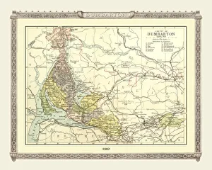
Background imageScotland and Counties PORTFOLIO Collection: Old Map of the County of Dumbarton from the Philips Handy Atlas of 1882

Old Map of the County of Dumbarton from the Philips Handy Atlas of 1882
PHA008

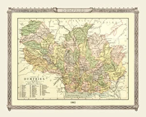
Background imageScotland and Counties PORTFOLIO Collection: Old Map of the County of Dumfries from the Philips Handy Atlas of 1882

Old Map of the County of Dumfries from the Philips Handy Atlas of 1882
PHA009

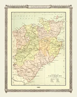
Background imageScotland and Counties PORTFOLIO Collection: Old Map of the County of Caithness from the Philips Handy Atlas of 1882

Old Map of the County of Caithness from the Philips Handy Atlas of 1882
PHA007

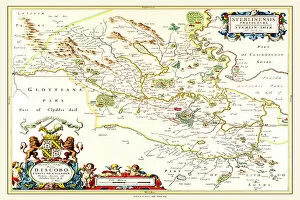
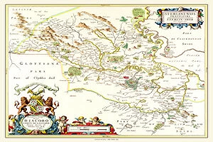
Background imageScotland and Counties PORTFOLIO Collection: Old County Map of Sterlingshire 1654 by Johan Blaue from the Atlas Novus

Old County Map of Sterlingshire 1654 by Johan Blaue from the Atlas Novus
This detailed and most attractive reproduction map of Sterlingshire, Scotland, has been carefully art worked from a scan of an antique original

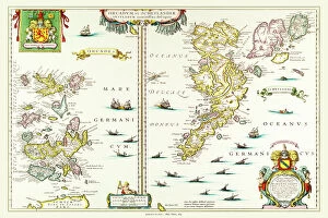
Background imageScotland and Counties PORTFOLIO Collection: Old Map of the Isles of Shetland and Orkney 1654 from the Atlas Novus

Old Map of the Isles of Shetland and Orkney 1654 from the Atlas Novus
This detailed and most attractive reproduction map of The Isles of Shetland and Orkney, has been carefully art worked from a scan of an antique original

Background imageScotland and Counties PORTFOLIO Collection: Old County Map of Renfrewshire Scotland 1654 by Johan Blaue from the Atlas Novus

Old County Map of Renfrewshire Scotland 1654 by Johan Blaue from the Atlas Novus
This detailed and most attractive reproduction map of Renfrewshire, Scotland, has been carefully art worked from a scan of an antique original

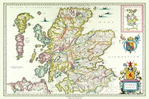
Background imageScotland and Counties PORTFOLIO Collection: Old Map of Scotland 1635 by Willem & Johan Blaeu from the Theatrum Orbis Terrarum

Old Map of Scotland 1635 by Willem & Johan Blaeu from the Theatrum Orbis Terrarum
This detailed and most attractive reproduction map of Scotland has been carefully art worked from a scan of an antique original

Background imageScotland and Counties PORTFOLIO Collection: Old Map of Teviotdale Scotland 1654 from the Atlas Novus

Old Map of Teviotdale Scotland 1654 from the Atlas Novus
This detailed and most attractive reproduction map of Teviotdale, Scotland, has been carefully art worked from a scan of an antique original

Background imageScotland and Counties PORTFOLIO Collection: Old Map of Lothian - Scottish Lowlands by Johan Blaeu from the Atlas Novus

Old Map of Lothian - Scottish Lowlands by Johan Blaeu from the Atlas Novus
This detailed and most attractive reproduction map of the Scottish Lowlands, known as Lothian, has been carefully art worked from a scan of an antique original

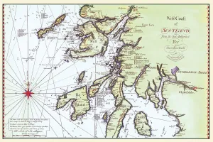
Background imageScotland and Counties PORTFOLIO Collection: Early Coastal Survey Map of The West Coast of Scotland 1796

Early Coastal Survey Map of The West Coast of Scotland 1796
This is a colour reproduction of the attractive coastal chart of the West Coast of Scotland from the Firth of Clyde to Ardnamurchan originally produced by Stuart Amos Arnold

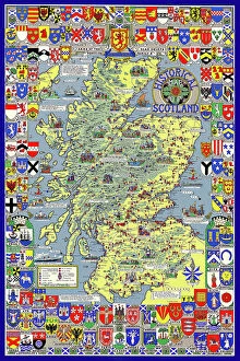
Background imageScotland and Counties PORTFOLIO Collection: Pictorial History Map of Scotland 1963

Pictorial History Map of Scotland 1963
This is a wonderful pictorial map illustrating the history of Scotland drawn by Leslie Bullock and published in 1963 by Collins Bartholomew as a fold up map

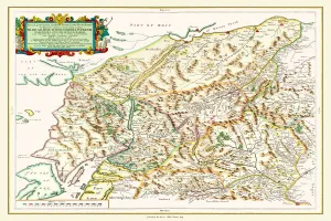
Background imageScotland and Counties PORTFOLIO Collection: Old County Map of Inverness-shire 1654 by Johan Blaeu from the Atlas Novus

Old County Map of Inverness-shire 1654 by Johan Blaeu from the Atlas Novus
This detailed and most attractive reproduction map of Inverness-shire has been carefully art worked from a scan of an antique original

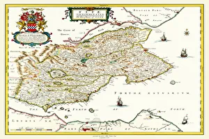
Background imageScotland and Counties PORTFOLIO Collection: Old County Map of Fife 1654 by Johan Blaeu from the Atlas Novus

Old County Map of Fife 1654 by Johan Blaeu from the Atlas Novus
This detailed and most attractive reproduction map of Fife has been carefully art worked from a scan of an antique original

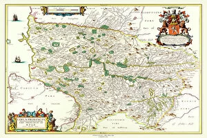
Background imageScotland and Counties PORTFOLIO Collection: Old County Map of Kyle and Mid Ayrshire 1654 by johan Blaeu from the Atlas Novus

Old County Map of Kyle and Mid Ayrshire 1654 by johan Blaeu from the Atlas Novus
This detailed and most attractive reproduction map of Kyle and Mid Ayrshire has been carefully art worked from a scan of an antique original


All Professionally Made to Order for Quick Shipping


-

Why Choose Us?

We are a leading provider of Art Prints and Photo Gifts since 2004, working in partnership with a range of Sporting Clubs, Charities, Museums and Picture Libraries. A large share of profits from any of their images will go directly towards supporting that charity or club. Our archive of images is carefully curated to bring you a wide range of subjects, including landscapes, wildlife, architecture, and more. We ship from our partner labs in the UK, USA, EU (Netherlands) and Australia.
+

How do I place an order?

Ordering is quick & easy - Just follow 5 Simple Steps:
  1. Find your image: Use our search box or browse our online photo Collections to find the image you want.

  2. Choose your print format: Select your desired product and add it to your cart.

  3. Enter your details: If you're a returning customer, simply enter your email address and password, and we'll fill in your billing and shipping address details. All personal details are held securely and are fully GDPR compliant. As standard, we remove all Personally Identifiable Information after 12 months.

  4. Pay for your purchase: We use state-of-the-art security for online shopping and do not have access to your card details.

  5. Sit back and relax: We'll email you confirmation of your order and when it's dispatched. Registered customers can also track orders in the 'My Account' area.

+

How do I pay for an order?

You can pay for your order with most of the major credit and debit cards, or PayPal. For added security, major financial institutions process payment details separately and securely on our behalf. We do not have access to your online payment card details. Online payments are preferred however we do take phone orders. For UK customers only we accept cheques issued against a UK bank.
+

Is my data safe?

We take data security very seriously. We do not have access to your full card details and all payments are requested over a fully secure connection. Additionally, we fully comply with current European and GDPR legislation, and automatically remove all personal data after at most 12 months (unless you have an account with us and have signed in recently). We also have a strict opt-in policy and would never sell your personal details. Your data is only used to fulfill your order promptly and efficiently.
+

Is wall art ready to hang?

For quick and easy installation all wall art, including framed prints, canvas prints and metal prints are supplied with a ready to hang solution on the back. Generally, saw tooth hangers are applied as they allow wall art to hang flush against the wall. The serrated edge of the hanger prevents the frame from shifting or tilting when hung.
+

Are the photo prints fade resistant?

Yes, we use archival quality photo paper photographic paper for vivid reproduction Prints are an accurate representations of the original artwork, which is preserved for artistic character and authenticity. We guarantee they match previews shown on our web site