Fraud Blocker Skip to main content

Home > Maps and Charts > World

Maps / World / Herodotus

Maps  /  World  /  Herodotus
Sold 1
In Stock
We accept all major credit cards
Framed Photos
Buy from AU$119.99
Photo Prints
Buy from AU$12.99
Jigsaw Puzzles
Buy from AU$89.99
Poster Prints
Buy from AU$24.99
Canvas Prints
Buy from AU$124.99
Fine Art Prints
Buy from AU$92.53
Metal Prints
Buy from AU$43.99
Cards
Buy from AU$12.99
Home Decor
Buy from AU$24.99

Mary Evans Picture Library Photo Prints and Wall Art

Maps / World / Herodotus

The world as known to Herodotus. Mary Evans Picture Library makes available wonderful images created for people to enjoy over the centuries. © Mary Evans Picture Library 2015 - https://copyrighthub.org/s0/hub1/creation/maryevans/MaryEvansPictureID/10027527

Media ID 581519

Herodotus Maps

FEATURES IN THESE COLLECTIONS

> Maps and Charts > Early Maps

> Maps and Charts > Related Images

> Maps and Charts > World

SECURE PAYMENTS
We happily accept a wide range of payment options so you can pay for the things you need in the way that is most convenient for you

MADE IN AUSTRALIA
Safe Shipping with 30 Day Money Back Guarantee

FREE PERSONALISATION
We are proud to offer a range of customisation including Cropping, Captions, and Filters. Zoom Cropping can be adjusted in the Basket.


EDITORS COMMENTS

This print depicts the world as it was known to the ancient Greek historian Herodotus around 450 BC. Herodotus, often referred to as the "Father of History," is renowned for his groundbreaking work "The Histories," an account of the Persian Wars and the world known to the Greeks during that time. The map, based on Herodotus' descriptions, presents a fascinating glimpse into the geographical knowledge of the ancient world. Herodotus' descriptions were primarily based on firsthand accounts and oral traditions, as he traveled extensively throughout Greece, Egypt, and other parts of the ancient world. His work includes detailed information about various cities, rivers, mountains, and peoples, many of which are depicted in this map. The map is divided into three continents: Europe, Asia, and Libya (Africa). The Mediterranean Sea dominates the center of the map, with the Black Sea and the Red Sea also depicted. The Nile River, the longest river known to the ancient world, flows through Egypt and is shown winding its way through the desert. The print also includes various labels indicating major cities, such as Athens, Sparta, Babylon, and Memphis, as well as significant landmarks, such as the Pillars of Heracles (modern-day Gibraltar) and the Caspian Sea. The map also shows the known extent of the Persian Empire, which was the largest empire of the ancient world at that time. This print is an invaluable resource for scholars and history enthusiasts, providing a unique window into the world as it was known to one of the greatest historians in human history. It serves as a reminder of the incredible feats of exploration and discovery that have shaped our understanding of the world and our place in it.


Framed Prints

Discover the fascinating world as known to the ancient Greek historian Herodotus with our exquisite Framed Prints from Media Storehouse, in collaboration with Mary Evans Prints Online. These beautifully crafted maps offer a captivating glimpse into the geographical knowledge of the ancient world. Each print is meticulously framed in a sleek and contemporary design, adding an elegant touch to any space while transporting you back in time. Explore the intricacies of ancient cartography and expand your knowledge with these striking and conversation-starting additions to your home or office decor.


Photo Prints

Discover the fascinating world as known to the ancient Greek historian Herodotus with our exquisite selection of Photographic Prints from Media Storehouse, brought to you by Mary Evans Prints Online. These captivating images transport you back in time, offering a glimpse into the geographical knowledge and mythology of ancient civilizations. Each print, meticulously crafted, captures the essence of Herodotus' descriptions, inviting you to explore the wonders of the ancient world in stunning detail. Elevate your home or office decor with these intriguing and thought-provoking pieces.


Poster Prints

Discover the fascinating world as known to ancient Greek historian Herodotus with our exquisite range of Maps/World/Herodotus poster prints from Media Storehouse, brought to you by Mary Evans Prints Online. These captivating maps offer a glimpse into the geographical knowledge and understanding of the ancient world, as documented by Herodotus in his seminal works. Add an intellectual and intriguing touch to your home or office decor with these beautifully crafted, high-quality poster prints. Delve into history and expand your knowledge with each captivating detail.


Jigsaw Puzzles

Discover the wonders of ancient geography with our captivating collection of jigsaw puzzles from Media Storehouse, featuring the intriguing image "Maps / World / Herodotus" from Mary Evans Prints Online. This mesmerizing puzzle takes you on a journey back in time, as you piece together the world as it was known to the legendary Greek historian, Herodotus. With intricate detail and vibrant colors, this puzzle is not only a fun and engaging activity for puzzle enthusiasts of all ages, but also an educational experience that brings history to life. Immerse yourself in the rich tapestry of ancient civilizations and geography as you explore the intricacies of this captivating puzzle.

diamond
Made With High Grade Materials
thumb_up
Professional Quality Finish
package_2
Carefully Packed To Aid Safe Arrival

You May Also Like


WORLD MAP. Pre-Christian era, c450 B. C. according to the writings of HerodotusWORLD MAP. Pre-Christian era, c450 B. C. according to the writings of Herodotus
Add to Basket
Map / Roman Empire / CupMap / Roman Empire / Cup
Add to Basket
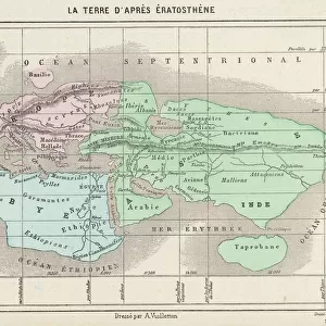
Maps / World / EratosthenesMaps / World / Eratosthenes
Add to Basket
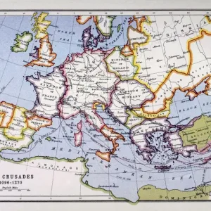
Crusades MapCrusades Map
Add to Basket
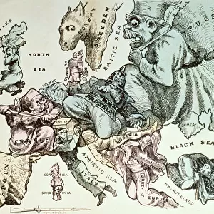
Comic map of Europe by Frederick Rose, c. 1870 (litho)Comic map of Europe by Frederick Rose, c. 1870 (litho)
Add to Basket
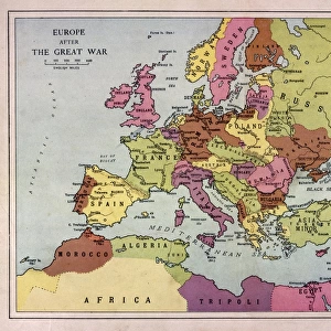
Europe Map C1918Europe Map C1918
Add to Basket
Earth map according to HerodotusEarth map according to Herodotus
Add to Basket
Map of central Europe 1889Map of central Europe 1889
Add to Basket
Old Map of the World 1871Old Map of the World 1871
Add to Basket
nobody, antique, vintage, archival, cartography, geography, map, history, historicalnobody, antique, vintage, archival, cartography, geography, map, history, historical
Add to Basket
Antique map, World as known to the AncientsAntique map, World as known to the Ancients
Add to Basket
Map of the Ancient World according to HerodotusMap of the Ancient World according to Herodotus
Add to Basket

Gallery Wall Inspiration

WW2 poster, activities of 52 (Lowland) Division
Giant World Map
Italy Map - illustration
Old Map of the World 1914
Historical World Events map 1974 UK version
Brazil Map with Rivers and National Flag
EXPL2A-00352
D-DAY MAP 1944
Flat Earth map of the world showing it to be a plane
Al-Idrisis world map, 1154
Political Map of Africa
Hereford mappa mundi (world map)
Map of Russia
Political map of South America
Map of the British Empire
Daily Mail War Map, WW1
Map of the British Empire
Map of the world with annotations by Darwin J970111
Political map of Europe
Map of Ireland 1897
MAP: BRITISH EMPIRE, 1886. Map, 1886, of the British Empire by Walter Crane
Galapagos Admiralty map by Fitzroy Beagle
Europe Map C1914
WW2 Poster -- Map of the British Army
Mappa Mundi, c. 1290 (vellum)
Continental drift after 250 million years
Antique map of Hadrians wall

Discover Our Collections


Early MapsEarly Maps
View Collection
Maps and Charts Related ImagesMaps and Charts Related Images
View Collection
WorldWorld
View Collection


© Copyright Media Storehouse, All Rights Reserved 2003 - 2024
Facebook     Pinterest     Card Payments     Reviews IO