Photo Mug > Oceania > New Zealand > Maps
Photo Mug : Map Showing Approximately The Semicircular Foothold Of Australians And New Zealanders Above Anzac Cove July 1915. From The Great World War A History Volume Iii, Published 1916


![]()
Home Decor from Design Pics
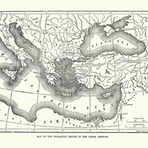
Map Showing Approximately The Semicircular Foothold Of Australians And New Zealanders Above Anzac Cove July 1915. From The Great World War A History Volume Iii, Published 1916
Design Pics offers Distinctively Different Imagery representing over 1,500 contributors
Media ID 18188986
© Ken Welsh / Design Pics
Anzac Australians Cove Dardanelles First Great Turkey World Anzacs Zealanders
Photo Mug
Relive history with our Media Storehouse Photo Mug featuring a captivating map from The Great World War A History Volume III, published in 1916 by Ken Welsh from Design Pics. This vintage map showcases the semicircular foothold of Australians and New Zealanders above Anzac Cove during July 1915. Perfect for history enthusiasts or as a thoughtful gift, our Photo Mugs hold your favorite beverage while displaying this intriguing piece of World War I history on the exterior. Embrace the past with every sip.
A personalised photo mug blends sentimentality with functionality, making an ideal gift for cherished loved ones, close friends, or valued colleagues. Preview may show both sides of the same mug.
Elevate your coffee or tea experience with our premium white ceramic mug. Its wide, comfortable handle makes drinking easy, and you can rely on it to be both microwave and dishwasher safe. Sold in single units, preview may show both sides of the same mug so you can see how the picture wraps around.
Mug Size is 9.6cm high x 8.1cm diameter (3.8" x 3.2")
These are individually made so all sizes are approximate
FEATURES IN THESE COLLECTIONS
> Asia
> Turkey
> Related Images
> Maps and Charts
> Related Images
> Maps and Charts
> World
> Oceania
> New Zealand
> Maps
> Oceania
> New Zealand
> Related Images
EDITORS COMMENTS
This print showcases a historical map from the Great World War, Volume III, published in 1916. The map depicts the approximate semicircular foothold of Australian and New Zealand troops above Anzac Cove in July 1915. It offers a visual representation of the significant contribution made by these brave soldiers during the First World War. The image transports us back to that fateful time, where we can imagine the sandy beaches of Anzac Cove bustling with activity. The Australians and New Zealanders stand united on this foreign land, their determination evident as they establish their foothold amidst challenging circumstances. The strategic importance of this location becomes apparent through this detailed illustration. As we study the contours and markings on the map, we gain insight into how these courageous soldiers navigated difficult terrain to secure their position against formidable opposition. Ken Welsh's expertly captured print not only serves as a reminder of our shared history but also pays tribute to those who fought valiantly for their countries during one of humanity's darkest periods. This compelling piece is sure to captivate history enthusiasts and anyone interested in understanding the sacrifices made by these ANZAC forces at Anzac Cove in Turkey's Dardanelles region.
MADE IN AUSTRALIA
Safe Shipping with 30 Day Money Back Guarantee
FREE PERSONALISATION*
We are proud to offer a range of customisation features including Personalised Captions, Color Filters and Picture Zoom Tools
SECURE PAYMENTS
We happily accept a wide range of payment options so you can pay for the things you need in the way that is most convenient for you
* Options may vary by product and licensing agreement. Zoomed Pictures can be adjusted in the Cart.